
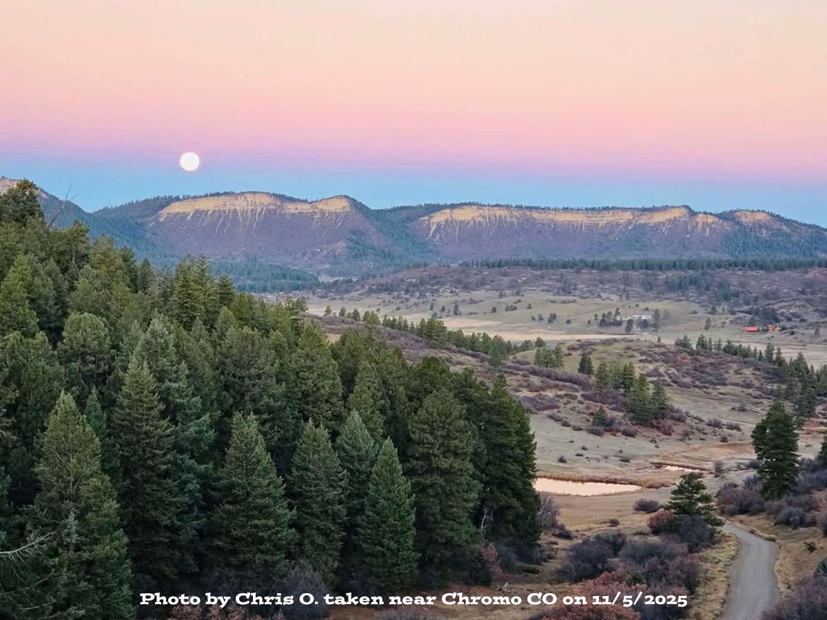
The “Beaver” supermoon – Photo taken by Chris O. near Chromo CO on 11/5/2025
Thursday – 6 Nov 2025 – 1:30pm
The past…
Stevens Field Observations
Tuesday: High: 61, Low: 27, Peak Wind: 16mph
Wednesday: High: 64, Low: 24, Peak Wind: 7mph
| Average High | Record High / Year | Average Low | Record Low / Year |
| 55 | 70 / 1950 | 19 | 4 / 1943 |
Precipitation summary… There has been no recent measurable precip.
Current satellite and radar…
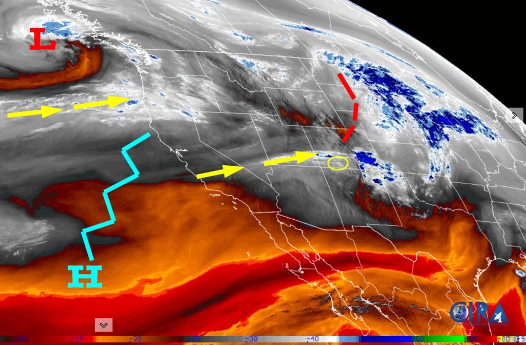
There is nothing on radar in the Pagosa Springs area Thursday afternoon.
Forecast highlights…
*** Lots of sun and mostly dry through next Thursday. ***
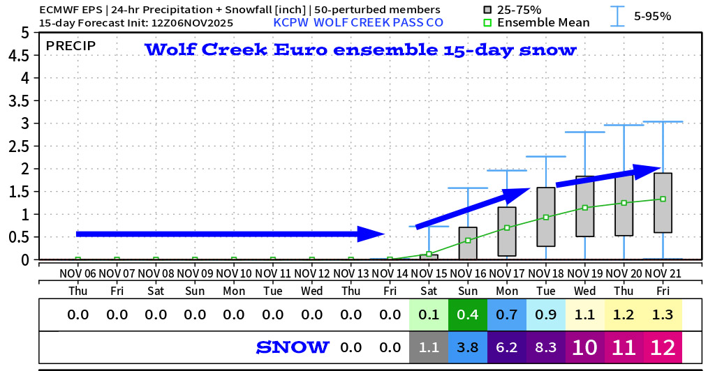
*** A more active pattern will start next weekend. ***
Forecast details…
Rest of Thursday through next Thursday… Today a weak trough is skirting through northern Colorado. We’ll just see a few more clouds and slightly stronger afternoon winds.
For the rest of the period, ridging will give us lots of sun and dry weather. Temps will be around 5 degrees above average for the rest of the week.
Temps…
Today through next Thursday highs will be in the mid-50s to mid-60s and lows will be in the low 20s to low 30s. The cold spots will be in the teens.
Winds…
Today afternoon gusts will be around 20mph. For the rest of this period afternoon gusts will be 10-15mph.
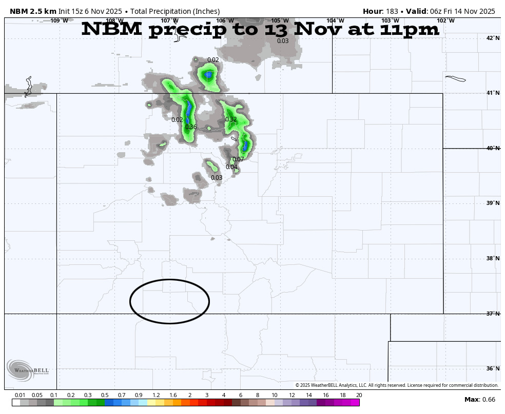
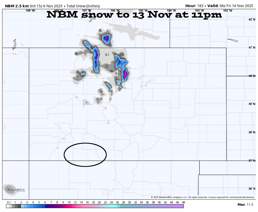
The 8-14 day period… A persistent ridge over the desert Southwest will keep the storm track to our north through 12 or 13 Nov.
Starting around 13 Nov the ridge will weaken and move to our east. The storm track will dip farther south, and a few low-pressure systems will move through the Four Corners region.
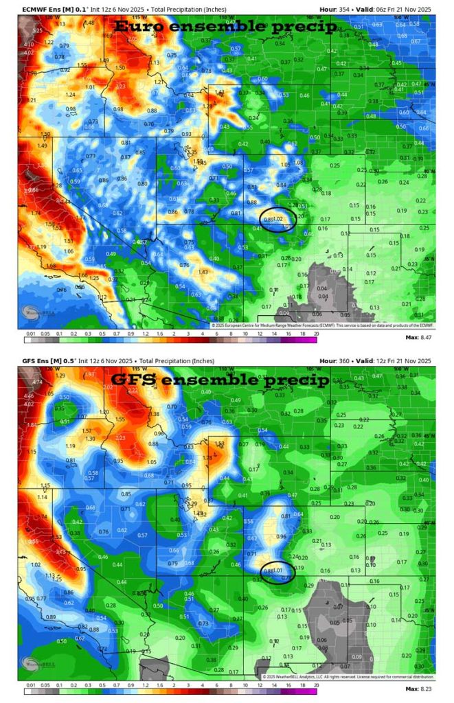
The storm track will stay to our north through the 13th and then get more active.
The next post will be on Saturday.
– Shawn


