
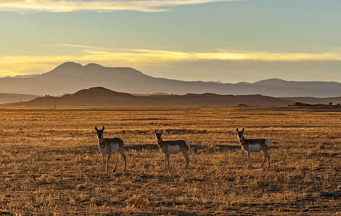
I love seeing these guys when I drive through South Park – Photo taken 11/5/2025
Saturday – 8 Nov 2025 – 1:30pm
The past…
Stevens Field Observations
Thursday: High: 58, Low: 25, Peak Wind: 18mph
Friday: High: 56, Low: 21, Peak Wind: 21mph
| Average High | Record High / Year | Average Low | Record Low / Year |
| 52 | 66 / 1934 | 19 | -7 / 1948 |
Precipitation summary… There has been no recent measurable precip.
Current satellite and radar…

There is nothing on radar in the Pagosa Springs area Saturday afternoon.
Forecast highlights…
*** Lots of sun and dry through Thursday. ***
*** Friday and through next weekend expect some mountain snow and a few snowflakes in the valley. ***
Forecast details…
Rest of Saturday through Thursday… Ridging will give us lots of sun and dry weather. Temps will be 5-10 degrees above average. Clouds will increase Thursday as the ridge moves to the east.
Friday and through next weekend… A low pressure system will move through the region. We’ll have more clouds, scattered showers, and slightly stronger winds. Details are still fuzzy, but here’s my initial first guess…
Snow levels…
Friday through Saturday afternoon around 10,000ft
Saturday night through Sunday afternoon 8,500ft to 9,000ft
Sunday night 8,000ft to 8,500ft
Snow forecast…
Mountains above 10,000ft: 4-8”
Valley above 8,000ft: a dusting to 2”
Valley below 8,000ft: none to a dusting
Forecast confidence is low. I’ll adjust the details as the data gets better.
Temps…
Saturday and Sunday highs will be in the mid-50s to mid-60s and lows will be in the low 20s to low 30s. The cold spots will be in the teens.
Monday, Tuesday, and Wednesday highs will be in the high 50s to mid-60s and lows will be in the low 20s to low 30s.
Thursday highs will be in the mid-50s to low 60s and lows will be in the low to high 20s.
Friday and Saturday highs will be in near 50 to the high 50s and lows will be in the mid-20s to mid-30s.
Sunday highs will be in the mid-40s to low 50s and lows will be in the low to high 20s.
Winds…
Afternoon gusts will be 10-15mph through Thursday. Friday and Saturday afternoon gusts will be around 20mph.
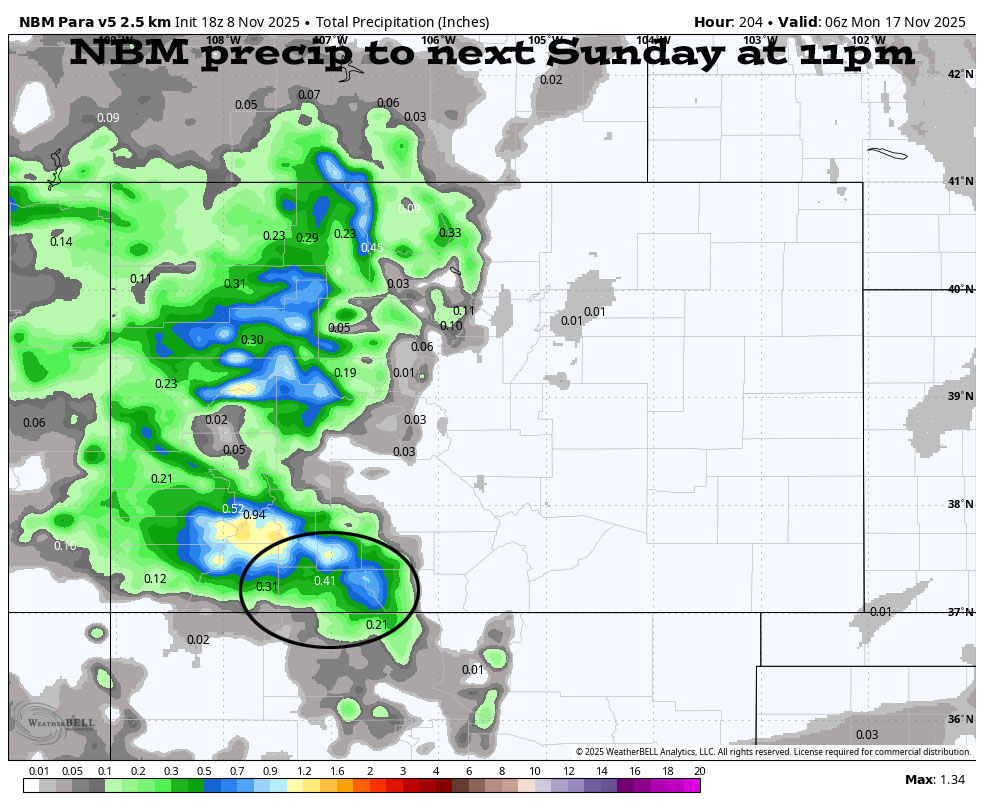

Right now this looks reasonable to me.
The 8-14 day period… A persistent ridge over the desert Southwest will keep the storm track to our north through 13 Nov.
Starting 13 Nov the ridge will weaken and move to our east. The storm track will dip farther south, and a few low-pressure systems will move through the Four Corners region. The outcomes vary considerably between a couple of wimpy storms and a couple of decent ones. Let’s hope things line up for us!

The forecast models are all over the place, so I don’t trust them. It is encouraging that amounts are trending up.

Note that the vertical blue bars at the end of the period indicate between 0.50” of precip and 3.5”. That’s a huge variance! IF we get the higher totals, Wolf Creek will be open by Thanksgiving!
The next post will be on Monday.
– Shawn


2 Responses
Just want a white Christmas, please tell me it’s not going to be like late year.
Don, yes, a very white Christmas! We want to spend Christmas morning digging ourselves out! Arleen & Shawn