
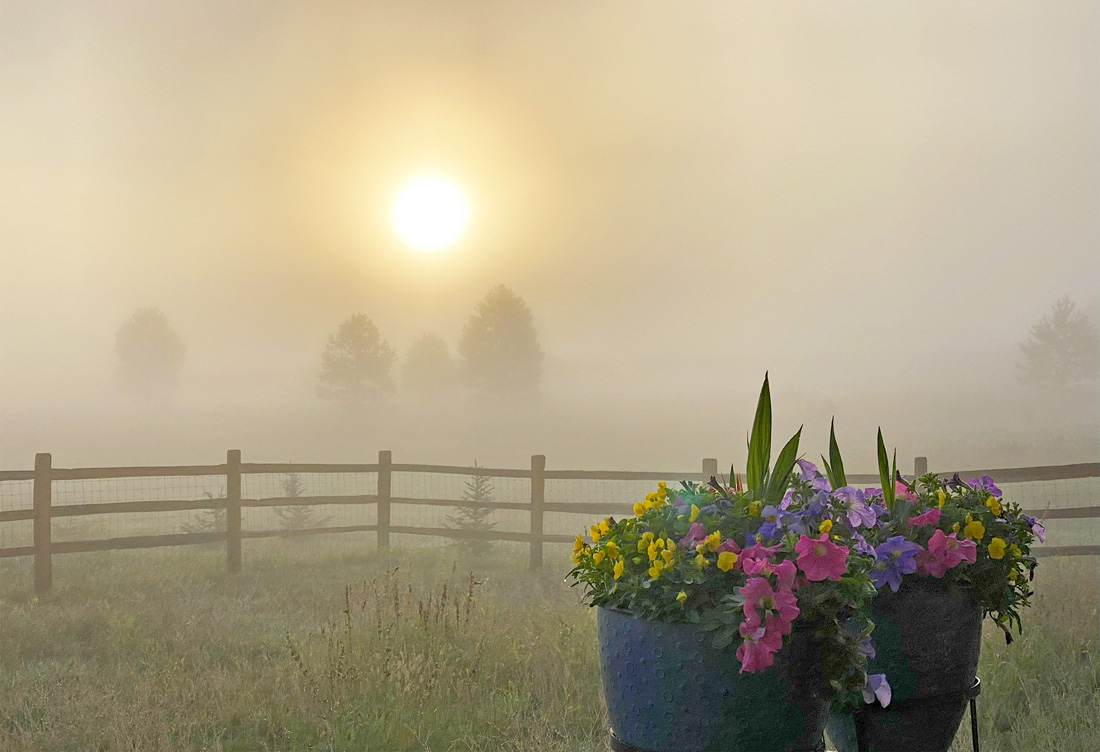
Morning fog after our last rain – pic taken 8/14/2024
If images fail to load in the email, please click the title of the post. Thanks!
Friday – 16 Aug 2024 – 11:40am
The past…
At Stevens Field the high temperature Wednesday afternoon was 77 and the high on Thursday was 82. The low this morning was 49.
The minimum relative humidity Wednesday was 27% with a dew point of 40. Thursday it was 18% with a dew point of 35.
The peak wind at Stevens Field Wednesday afternoon was 23mph and on Thursday it was 22mph.
| Average High | Record High / Year | Average Low | Record Low / Year |
| 80 | 89 / 1959 | 44 | 32 / 1913 |
Precipitation summary… There has been no measurable precip in the last 2 days.
Forecast discussion…
There is nothing on radar in our area this morning.
Forecast highlights…
*** Dry and warm Friday. ***
*** Starting Saturday, isolated afternoon storms are possible, but it will stay warm. ***
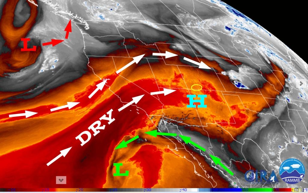
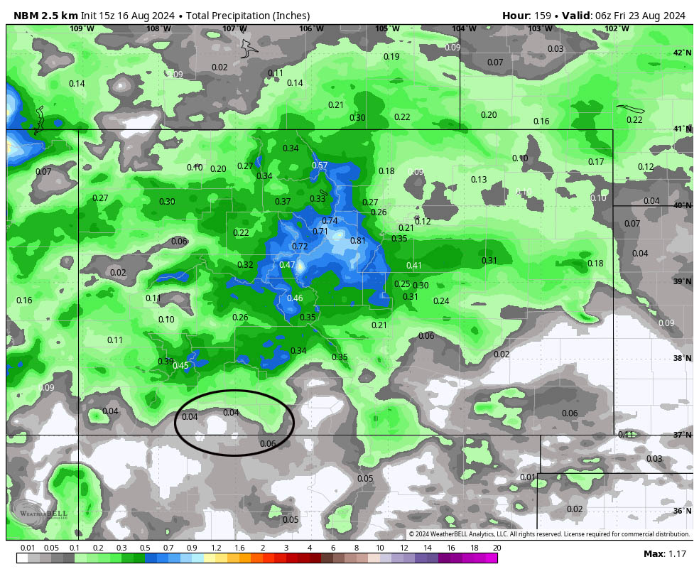
Rest of Friday through Thursday… The monsoon moisture plume has been cut off. Precipitable water and instability bottom out Friday and then will be marginal for the rest of this period.
This means that Friday will be dry. The rest of the period there is a chance for a few isolated afternoon storms. I don’t expect much precip.
Temps will be 5-10 degrees above average.
Winds… Afternoon peaks will be 15-20mph.
Temps… Highs will be in the low to high 80s and lows will be in the low 40s to low 50s.
The 8-14 day period… The high will wobble around the Four Corners area. Initially monsoon moisture and instability will be marginal leading to hit and miss storms each afternoon. The last few days of this period monsoon moisture and instability will increase resulting in an increase of storm activity.
Initially temps will be slightly above average and then be near average for the last few days of this period.
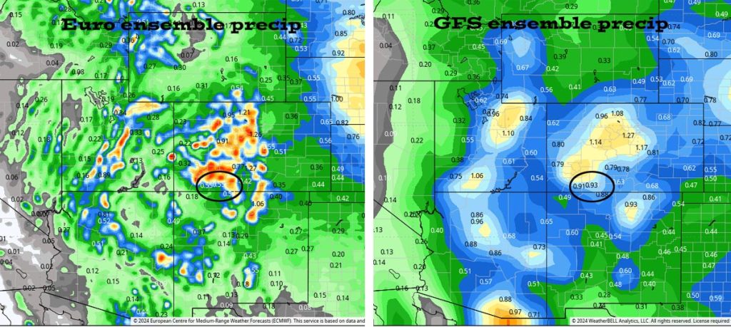
Most of this is expected the last 5 days or so of this period. It’s all convective afternoon showery precip so amounts will vary considerably.
The next forecast post will be on Sunday.
– Shawn


