
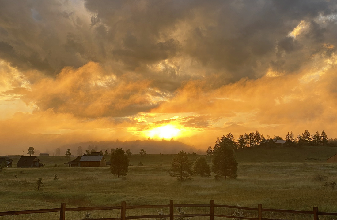
A spectacular sunrise painted by Mother Nature! – pic taken 8/11/2024
If images fail to load in the email, please click the title of the post. Thanks!
Monday – 12 Aug 2024 – 4:20pm
The past…
At Stevens Field the high temperature Sunday afternoon was 77 and the high so far on Monday is 79. The low this morning was 56.
The minimum relative humidity Sunday was 35% with a dew point of 47. Monday it was 30% with a dew point of 45.
The peak wind at Stevens Field Sunday afternoon was 16mph and on Monday it was 17mph.
| Average High | Record High / Year | Average Low | Record Low / Year |
| 80 | 89 / 1972 | 45 | 33 / 1950 |
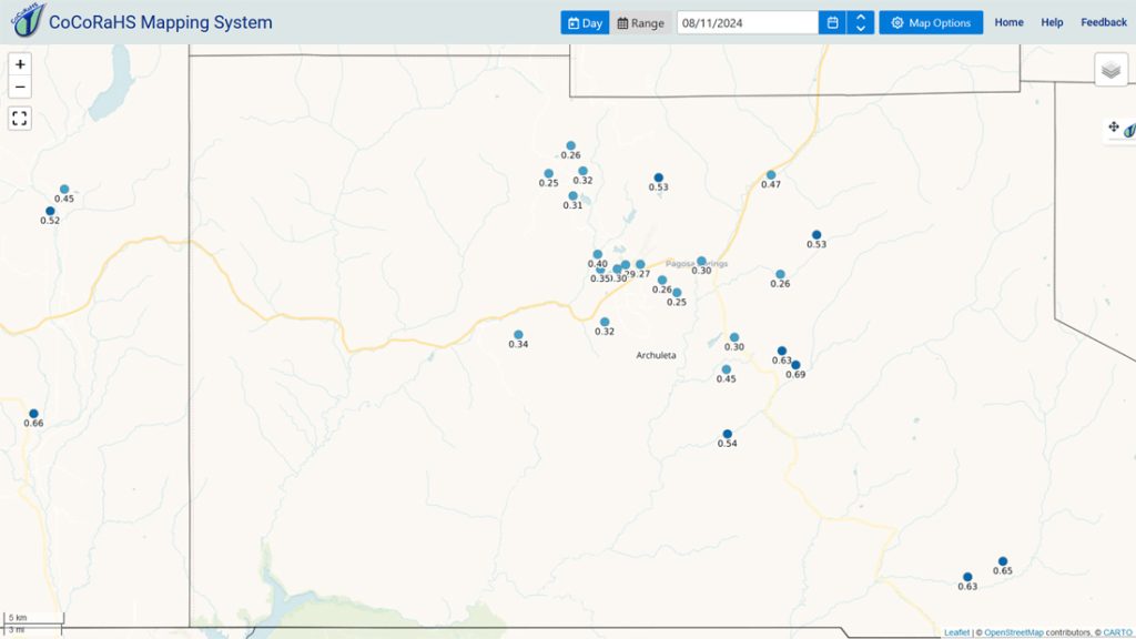
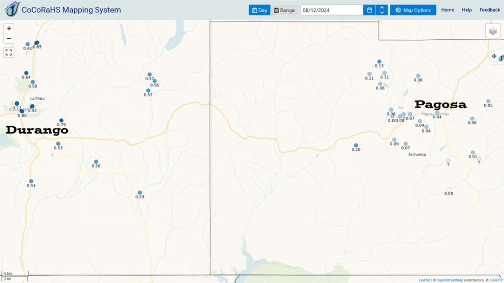
Precipitation summary… Another storm moved through overnight. This time it dropped most of its precip over our neighboring county.
Thanks a bunch for your precip reports and pictures!
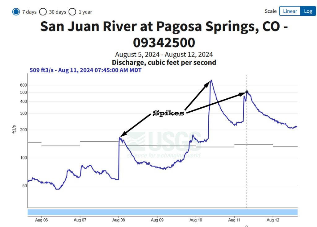
River levels… San Juan River flow spiked over 500cfs Sunday morning.
Forecast discussion…
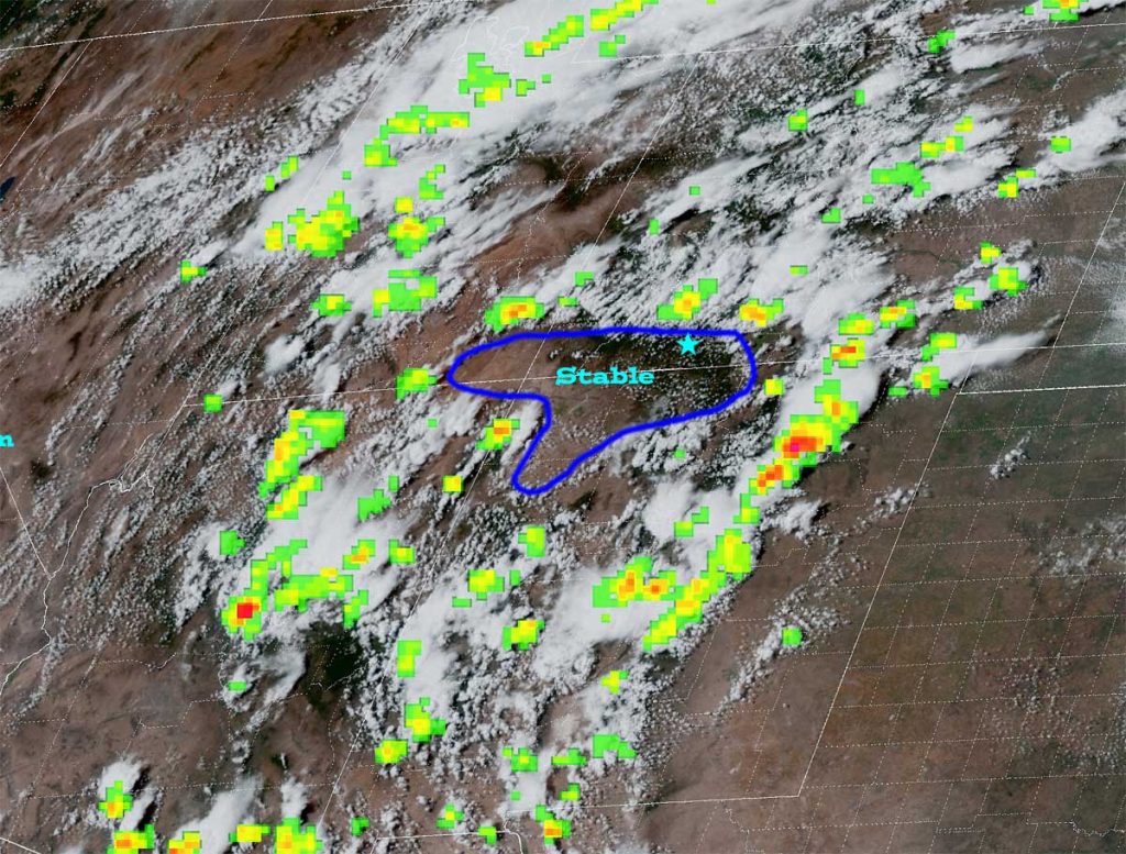
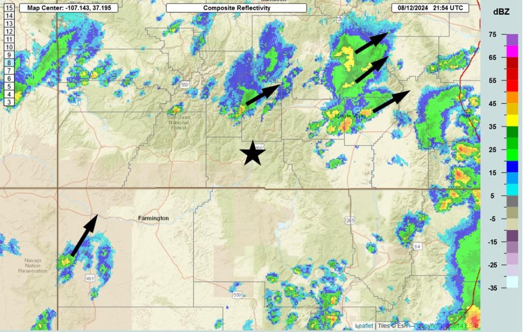
Forecast highlights…
*** Scattered storms through Tuesday night can occur any time of day. ***
*** All storms are capable of short periods of heavy rain, small hail, gusty winds, and lightning. ***
*** Streams are higher, and minor flooding is possible in low-lying areas. ***
*** We will dry out the second half of next week. ***
Rest of Monday through Tuesday… The monsoon moisture plume has weakened a little but will stay with us through Tuesday. Scattered storms can happen any time of day, but they will be more hit and miss and won’t drop as much rain.
Winds… Afternoon peaks will be around 15mph, but isolated higher gusts are likely near showers and thunderstorms.
Temps… Monday and Tuesday highs will be in the mid-70s to low 80s and lows will be in the high 40s to mid-50s.
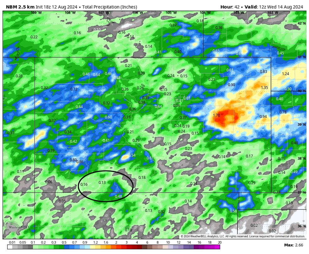
Wednesday through next weekend… Precipitable water will decrease, and the atmosphere will be more stable.
Wednesday is the best chance for an isolated storm, but most of us will stay dry. Thursday will be dry. Friday through Sunday there’s just a slight chance for an isolated afternoon storm or two. I expect very little precip during this period.
Temps will be near average.
Winds… Afternoon peaks will be around 15mph, but isolated higher gusts are likely near showers and thunderstorms.
Temps… Afternoon highs will be in the high 70s to mid-80s and lows will be in the mid-40s to low 50s.

The next forecast post will be Monday afternoon.
– Shawn


