
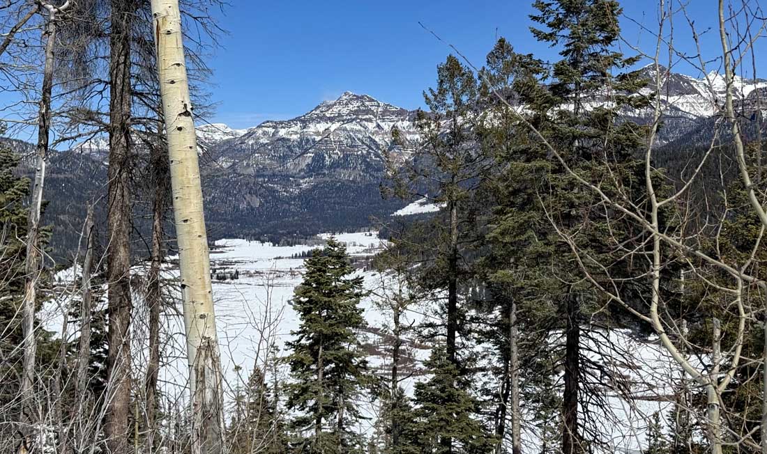
Great view during a snowshoe adventure! – Pic taken 2/26/2026 by Arleen
Friday – 27 Feb 2026 – 1:30pm
The past…
Stevens Field Observations
Wednesday: High: 60, Low: 25, Peak wind: 24mph
Thursday: High: 62, Low: 26, Peak wind: 18mph
| Average High | Record High / Year | Average Low | Record Low / Year |
| 44 | 64 / 1986 | 11 | -9 / 1971 |
Precipitation summary… There has been no recent measurable precip.
Current satellite and radar…

There is nothing on radar in our area around noon on Friday.
Forecast highlights…
*** Partly cloudy, dry, and warm through Monday. ***
*** Next week we’ll see a more active pattern, but it’s wimpy for us. ***
Forecast details…
Rest of Friday through most of Monday… A ridge along the southern west coast will keep the storm track to our north. Occasional patches of clouds will move through our area, but we’ll stay dry.
Monday the ridge will weaken and move to our east. We’ll see more clouds ahead of an approaching trough.
Monday night into Tuesday night… A weak trough with limited moisture will move through the region. We’ll have more clouds and there will be scattered showers. I don’t expect much precip.
Snow levels will be above 8,500ft so it will be mostly rain in the Pagosa area. Wolf Creek could get 1-3” of snow, but I’m not too optimistic.
Wednesday through Thursday evening… A transient ridge will move through. We’ll have scattered clouds and remain dry.
Thursday night through next Friday… Another trough will move through from the northwest with limited moisture. We’ll see more clouds and scattered showers, but precip amounts will be low.
The snow level could drop down to 7,500ft but just a dusting of snow is possible in the Pagosa area. Wolf Creek could get 1-3” of snow.
Temps…
Friday night lows will be in the high teens to the high 20s.
Saturday through Monday highs will be in the mid 50s to low 60s and lows will be in the high teens to the high 20s.
Tuesday through Thursday highs will be near 50 to the high 50s and lows will be in the low to high 20s.
Next Friday highs will be in the high 40s to the mid 50s and lows will be in the low to high 20s.
Winds…
Friday, Saturday, and Sunday, each afternoon gusts will be 10-15mph near Pagosa and 20-25mph in the high country.
Monday through next Friday, each afternoon gusts will be 15-20mph near Pagosa and 30-35mph in the high country.
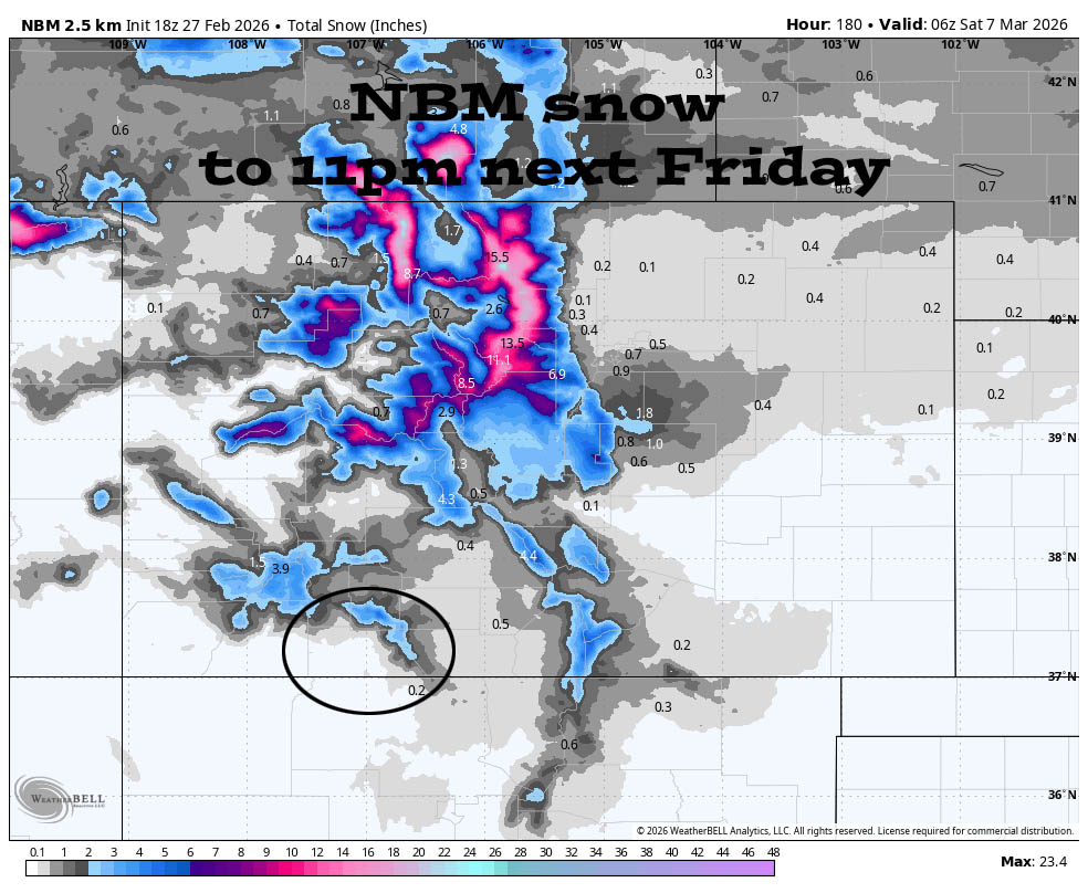
6 Mar to 14 Mar… The big evil ridge will be a little farther off the west coast. The jet stream will push systems through our area from the northwest. These systems usually lack moisture, and the trajectory isn’t favorable for us. We’ll see periods of scattered showers, but I don’t see any big storms on the horizon.
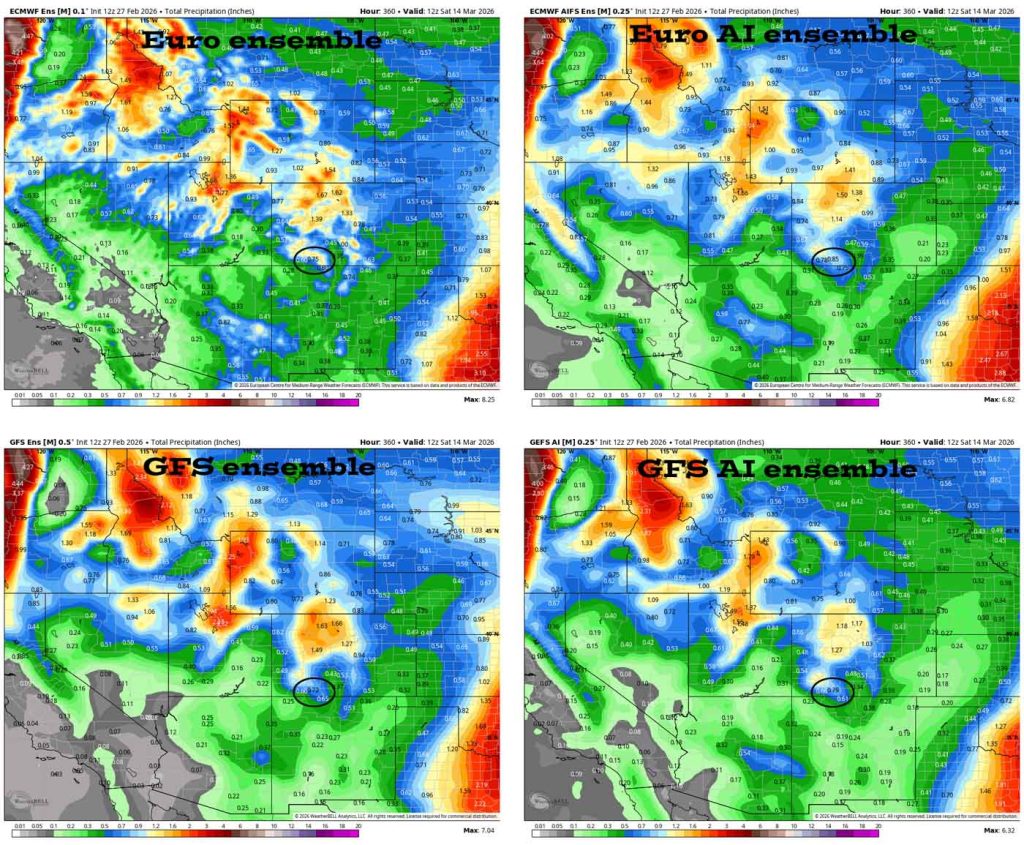
The trend is for less precip.
The next post will be on Sunday.
– Shawn


