Enjoy the Snow While It Lasts…

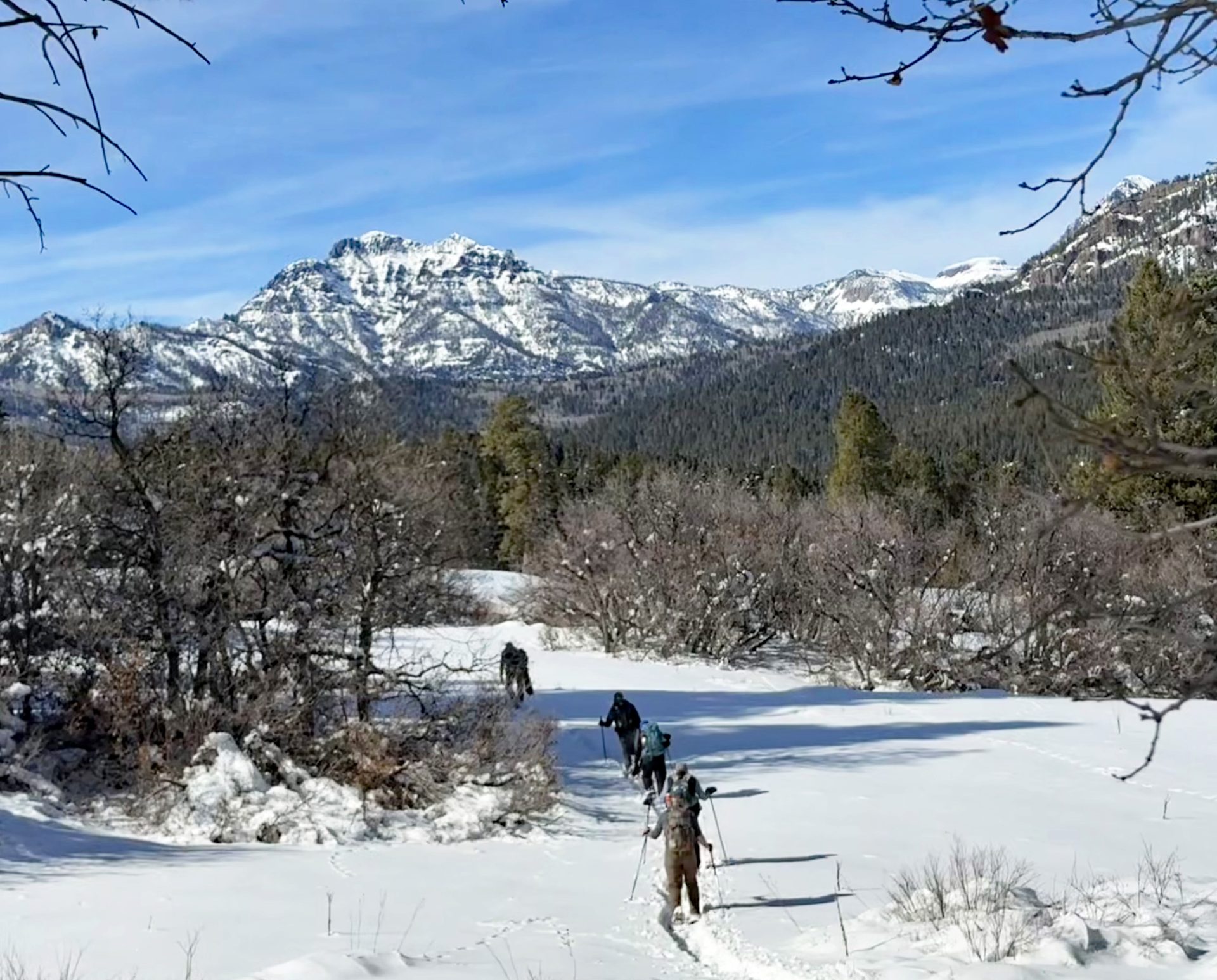
People snowshoeing up into mountains.

The Snowtology Team headed out to measure the snow we waited all winter for…

Monday – 23 Feb 2026 – 5:30pm

Everyone has been out skiing, snowboarding, sledding, dog sledding, snow shoeing, and cross country skiing! How we love our winter sports in Pagosa! Huge thanks to Bill and his assistant Joe for grooming all the trails in the area.

The past…

Stevens Field Observations

Sunday: High: 49, Low: 3, Peak wind: 6mph

Today: High: 54, Low: 12, Peak wind: 7mph

Average HighRecord High / YearAverage LowRecord Low / Year
4462 / 19479-25 / 1911

Precipitation summary…

We have not had any precipitation in the last 48 hours.

Current satellite and radar…
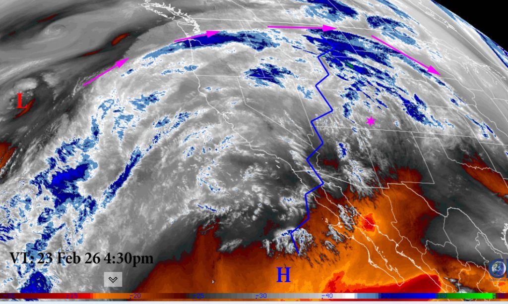
Sat 23 Feb 26

Visual satellite Monday Afternoon: This is what we call a dirty ridge. Upper and mid-level clouds are streaming over the top of the ridge but we won’t see any precipitation from it. It makes for pretty sunrises and sunsets.

Radar: There are showers headed into northern California and the northwest far, far from here.

Forecast highlights…

*** AVALANCHE Danger is Considerable for the mountains through the workweek. ***

*** We’ll see lots of blue sky, a gradual warming trend, & dry through the week. ***

Forecast details…

Monday through next Monday… A ridge has built over the region. We’ll see lots of sun and a warming trend. We’ll have mid and upper level clouds in the area through Thursday.

Temps…

Monday through next Monday highs will be in the high 40s to the upper 50s. Lows will be in the mid teens to the mid 20s.

Winds…

Monday through next Monday there will be afternoon gust up to 15mph. Wednesday will see 20mph winds with the upper level disturbance passage to the north which will compress our atmosphere a little. The high country will have afternoon gusts of 20-25mph winds each day. Except Wednesday which will have gusts to 35mph.

NBM
NBM precipitation to Thursday at 05am shows that the northern Colorado mountains will be favored for precipitation from a little disturbance that moves through Tuesday night through Thursday morning. Favored areas could see 10 – 12″ of snow.
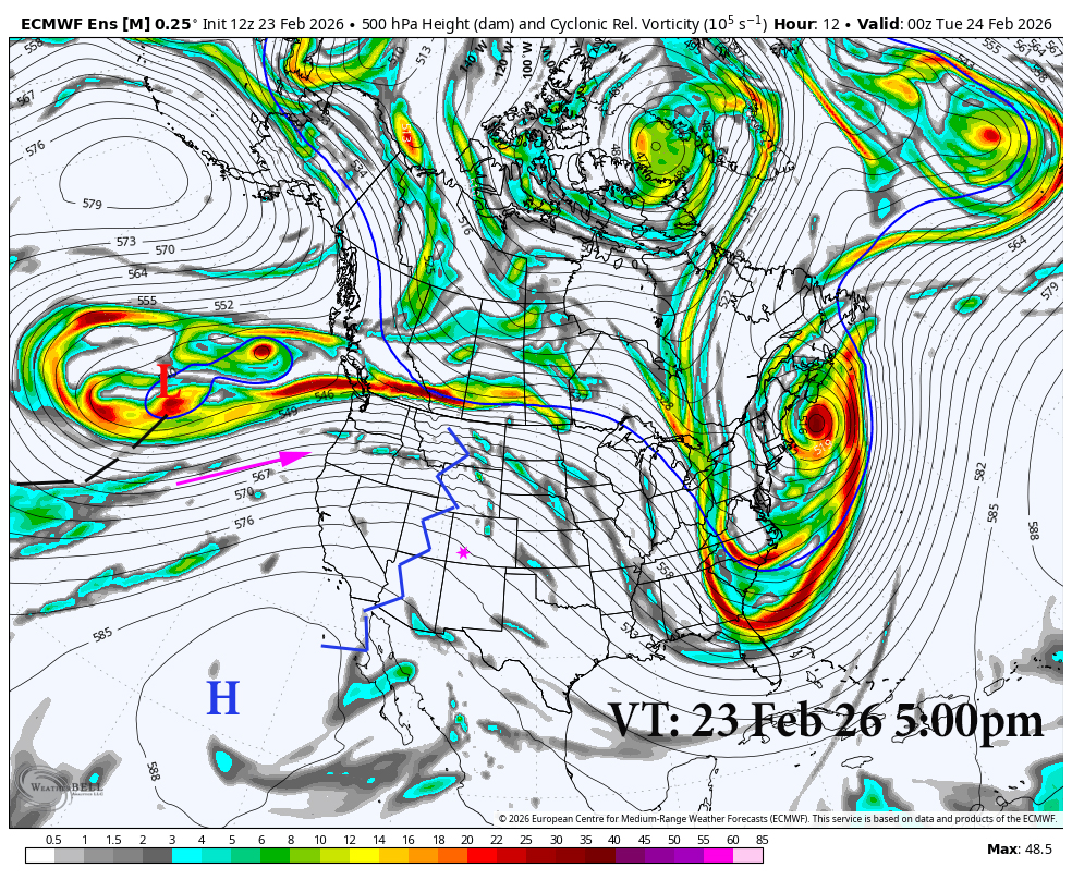
500 23 Feb 26 1
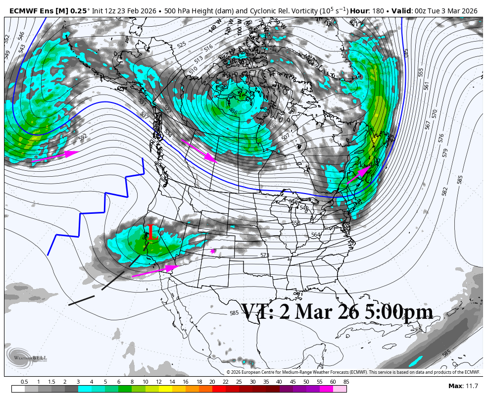
500 3 Mar 26 1

Side by side comparison of the 500MB Vorticity shows the change in our pattern over the next week. The disturbance passage on Wednesday will beat down our ridge and allow a cutoff low to move in from the southwest by March 2nd.
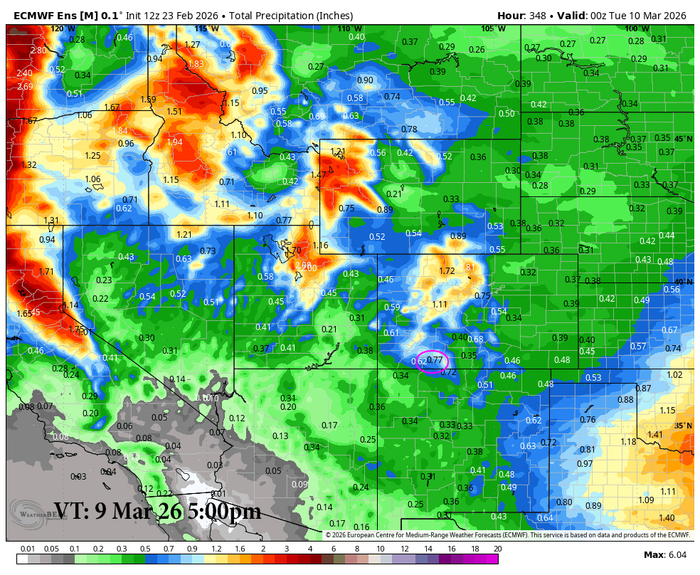
Euro 14day 1
Euro 14 day precipitation shows .77″ of liquid for Pagosa. This all falls after the 3rd.
GFS 14day 1
GFS 14 day precipitation shows .89″ of liquid for Pagosa. This all falls after the 3rd.

The next post will be on Wednesday.

– Arleen

Pagosa Weather Blizzard Level Sponsor

Pagosa Weather Storm Sponsor

Picture of Arleen Pro

Arleen Pro

I grew up in Montana where my love of the mountains is rooted. I served in the Air Force, forecasting aviation weather, for 24 years. I had eight assignments and my favorites were Colorado, Alaska, Korea, and Germany. I deployed several times, including to Iraq and Afghanistan. After RV traveling for nine years, Shawn and I found paradise in Pagosa. Here we enjoy playing outside in the spectacular San Juan mountains!

Leave a Reply

Your email address will not be published. Required fields are marked *

Pagosa Weather Disclaimer and Release of Liability

This website makes no guarantees about nor bears any responsibility or liability concerning the accuracy or timeliness of the weather information published on this website. All weather information published on this website is for educational and weather enthusiast purposes only. We do not issue Storm Watches, Warnings or Advisories as that ability falls with the National Weather Service, who is the only institution allowed to issue such warnings by law. We are not in any way linked nor affiliated with the National Weather Service, although we do share information and relay weather watches/ warnings, etc. Use of the information on page is at your own risk/discretion, and we are not responsible for any personal/property damages, injury or death associated with weather forecasts, reports or other information as well as communication exchanged in private messages and/or person.

Terms of Use                  Privacy Policy

© 2026 Pagosa Weather 

Website Design by : Brandon