
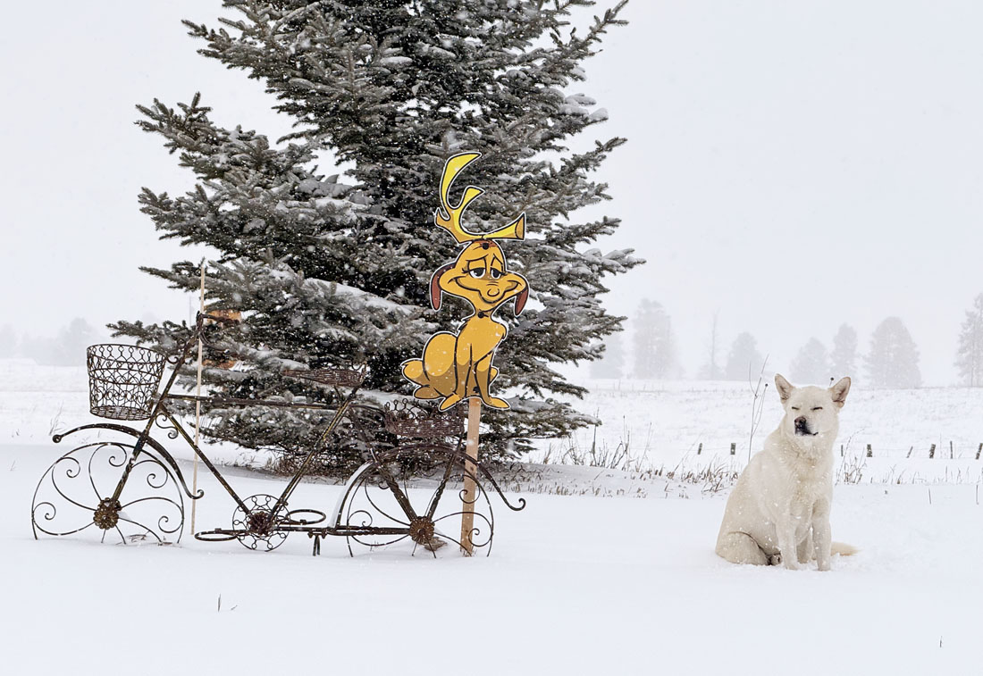
It finally looks like winter! Tommy wasn’t too thrilled to pose. – pic taken 2/18/2026
Wednesday – 18 Feb 2026 – 12:10pm
The past…
Stevens Field Observations
Tuesday: High: 42, Low: 27, Peak wind: 58mph at 8:35am
| Average High | Record High / Year | Average Low | Record Low / Year |
| 43 | 60 / 1958 | 8 | -26 / 1942 |
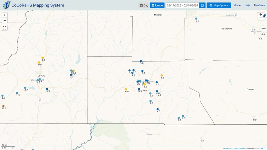
Precipitation summary… Wolf Creek reported 12” of new snow this morning.
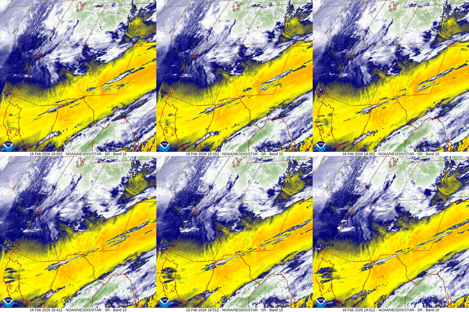
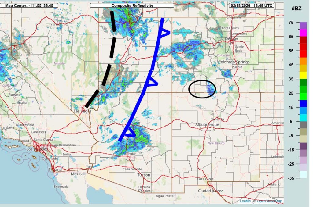
Current satellite and radar…
Forecast highlights…
*** WINTER WEATHER ADVISORY for the San Juan River Basin. This includes Pagosa Springs. An additional 2-4” of snow and winds gusting to 45mph are expected until 5am Thursday. ***
*** WINTER WEATHER WARNING for the eastern San Juan Mountains above 10,000ft. This includes Wolf Creek and Cumbres Passes. An additional 12” of snow and winds gusting to 70mph are expected until 11pm Wednesday. ***
*** AVALANCHE WARNING for the mountains valid through Thursday. ***
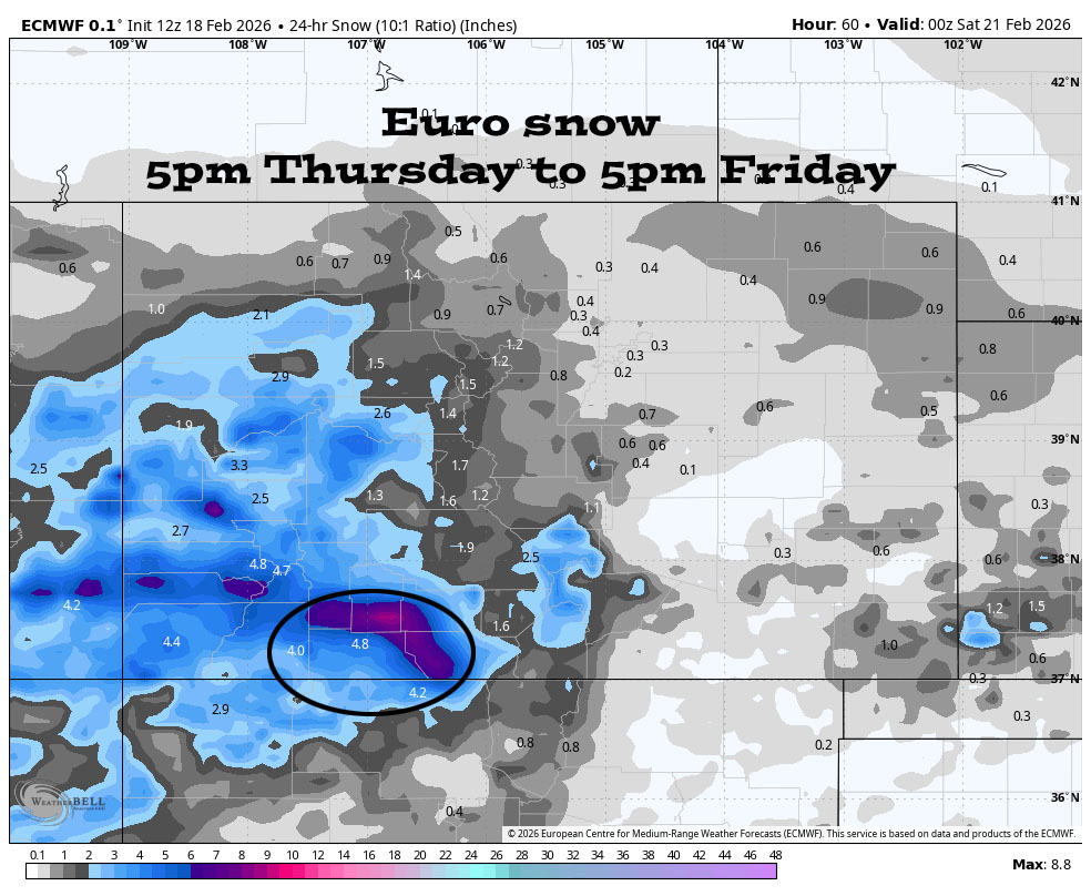
*** A 3rd round of snow is likely Thursday night into Friday afternoon. ***
*** A warmer storm with valley rain and snow and mountain snow is possible next Wednesday and Thursday . ***

Forecast details…
Timing…
Round 2 – The cold front will move west to east across the county around 5pm today. Ahead of the front we’ll have periods of heavy snow, blowing snow, zero visibility, and wind gusts 40-50mph. We might even see some thundersnow.
Conditions will gradually improve through Wednesday evening.
Round 2 Snow totals Early Wednesday morning through Wednesday evening…
Wolf Creek area: 12-18”
Pagosa area: 4-8”

Wednesday night through Thursday evening… There will be a lull as a transient ridge moves through. Scattered snowshowers are possible, mostly over the mountains. Snow amounts will be minimal.
Thursday night into Friday afternoon… Round 3. The final trough will move through. It’s digging a little farther south, so it looks better for us. The best chance for snowshowers is early Friday morning until around noon.
Snow amounts…
Wolf Creek area: 8-12”
Pagosa area: 3-6”
Saturday, Sunday, Monday, and most of Tuesday… A ridge will build over the region. We should see lots of sun and a warming trend.
Tuesday clouds will increase ahead of the next storm. Spotty snowshowers will develop over the mountains by late evening.
Next Wednesday and Thursday (25 and 26 Feb)… The next storm will move through. It will be a warmer storm with snow levels mostly in the 8,000-8,500ft range. Snow in the valley would fall at night and then melt during the day.
Rough first guess snow amounts…
Mountains above 9,000ft: 4-8”
Pagosa area above 8,000ft: 1-2”
Pagosa area below 8,000ft: up to a half inch
*** Forecast confidence is low for this storm. I’ll adjust the details as the data gets better. ***
Temps…
Wednesday highs will be high 20s to low 30s and lows will be negative mid single digits to the positive high single digits.
Thursday and Friday highs will be in the mid-20s to low 30s. Thursday night lows will be in the high single digits to the mid teens. Friday night lows will be near -10 to +5.
Saturday highs will be in the mid 30s to low 40s and lows will be in the low single digits to the mid teens.
Sunday highs will be in the low to high 40s and lows will be near 10 to the high teens.
Monday and Tuesday highs will be in the high 40s to the mid 50s. Monday night lows will be in the mid teens to mid 20s. Tuesday night lows will be in the mid 20s to low 30s.
Next Wednesday highs will be in the mid 40s to the low 50s and lows will be in the mid 20s to low 30s.
Winds…
Wednesday afternoon gusts will be 40-50mph in the Pagosa area and 50-70mph in the high country. *** Expect white-out conditions on Wolf Creek Pass. ***
Thursday afternoon gusts will be around 20mph in the Pagosa area and 30-40mph in the high country.
Friday afternoon gusts will be 25-30mph in the Pagosa area and 40-50mph in the high country.
Saturday, Sunday, and Monday each afternoon, gusts will be around 10mph in the Pagosa area and 25-30mph in the high country.
Tuesday afternoon gusts will be around 15mph in the Pagosa area and 35-40mph in the high country.
Next Wednesday afternoon gusts will be around 20mph near Pagosa and 40-45mph in the high country.
25 Feb to 5 Mar… The first few days of this period will be active and then rest looks dry.
I’ll try to do a post each day through Friday. Keep an eye out on Facebook for quick updates.
– Shawn


2 Responses
Hey Shawn, just measured just under 10 inches on my deck and it’s still coming down lightly here. Hoping for more.
Kenny Rogers
In that photo, which one us Tommy? Hahaha.