
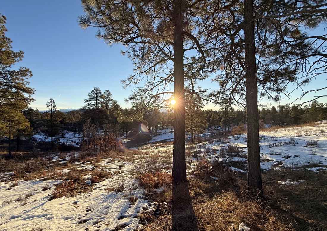
Warm temps are melting snow in the Pagosa area but there’s still plenty of fun snow in the mountains – Pic taken by Arleen on 12/12/2025
Friday – 12 Dec 2025 – 2:00pm
The past…
Stevens Field Observations
Wednesday: High: 49, Low: 19, Peak Wind: 9mph
Thursday: High: 54, Low: 21, Peak Wind: 8mph
| Average High | Record High / Year | Average Low | Record Low / Year |
| 40 | 55 / 1934 | 6 | -32 / 1961 |
Precipitation summary… There has been no recent measurable precip.
Current satellite and radar…

There is nothing on radar in our area Friday afternoon.
Forecast highlights…
*** Lots of sun, mostly dry, and warm temps through 21 Dec. ***
*** Weather pattern trying to get more active starting around 22 Dec and lasting through Christmas. ***
Forecast details…
Rest of Friday through next Weekend… A giant, blocking, evil ridge is forcing the storm track well to our north. We’ll have lots of sun and temps 10-15 degrees above average.
Temps…
Friday through Tuesday near record highs with temps in the low to mid 50s and lows in the mid- teens to mid-20s.
Record highs…
Friday: 55 in 1934
Saturday: 54 in 1929
Sunday: 58 in 1929
Monday: 57 in 1969
Tuesday: 60 in 1959
Next Friday through next weekend highs will be in the high 40s to mid-50s and lows will be in the low teens to low 20s.
Winds…
Afternoon peak winds will be around 10mph each day.
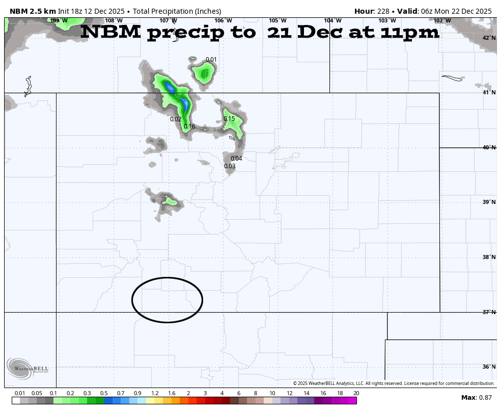
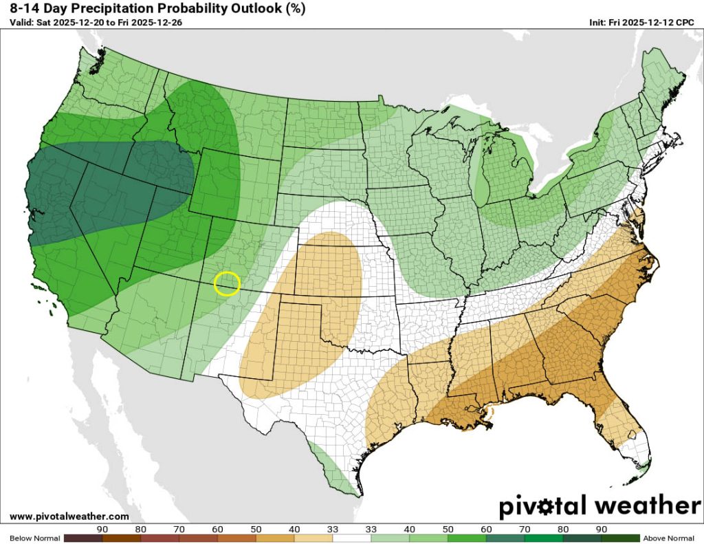
The 10-14 day period… The giant, blocking, evil ridge is expected to shift towards the Gulf around 21 or 22 Dec. This would allow a long southwest fetch to push moisture into our area. Of course there is no cold air to our southwest, so this could be a warm system with snow levels 7,500-8,000ft.
This is 12-15 days out, so I have ZERO CONFIDENCE in the details, but this is how things look right now…
The best chance for precip is the night of 24 Dec through 26 Dec.
Mountains: 12-24”
Pagosa area above 8,000ft: 3-6”
Pagosa are below 8,000ft: 1-3” – would fall overnight and then melt during the day
*** Again, I have zero confidence in the timing or snow amounts. Both are very likely to change as the storm gets closer and the data gets better. ***



The next post will be on Sunday.
– Shawn


