
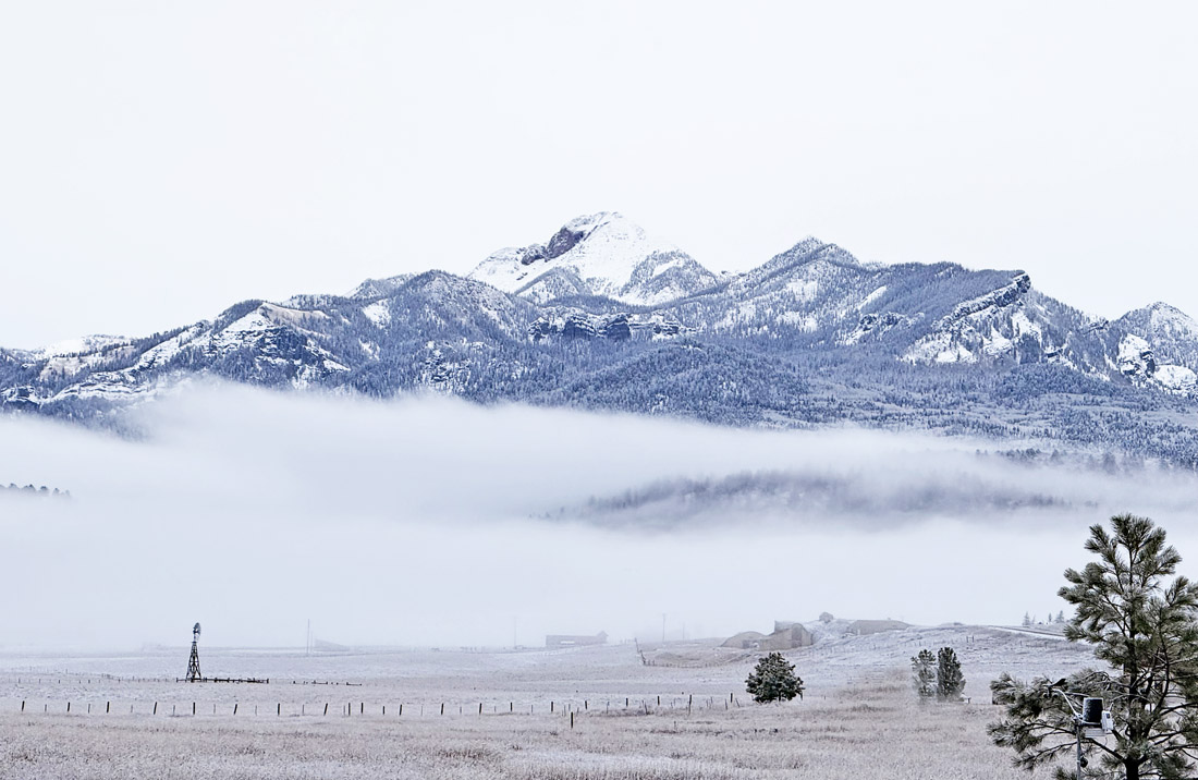
It’s been a gray day but it’s good to wake up to a little more snow – Photo taken 11/20/2025
Thursday – 20 Nov 2025 – 1:30pm
The past…
Stevens Field Observations
Tuesday: High: 50, Low: 23, Peak Wind: 8mph
Wednesday: High: 53, Low: 27, Peak Wind: 7mph
| Average High | Record High / Year | Average Low | Record Low / Year |
| 46 | 63 / 1989 | 14 | -7 / 1985 |
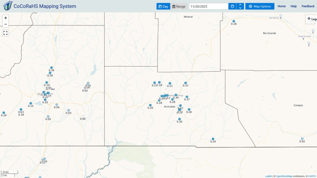
Precipitation summary… Precip fell last night, and the snow level dipped down to around 7,800ft. Folks above 7,800ft got a dusting of snow to an inch.
Wolf Creek Ski Area reported 7″ at 11am Thursday. They are preparing for a limited opening this weekend.
Current satellite and radar…


Forecast highlights…
*** Mostly rain below 8,500ft and another 2-4” of snow in the mountains through early Friday morning. ***
*** Expect winter driving conditions on Wolf Creek Pass into Friday morning. ***
*** Early Sunday morning into Sunday night we’ll get another round mountain snow and valley “rainflakes”. Expect winter driving conditions in the mountains. ***
*** Monday through next Friday will be dry with temps around 5 degrees above average. ***
*** Roughly 29 Nov to 3 Dec looks promising for snow. ***
Forecast details…
Thursday afternoon into early Friday morning… The low is spinning to our south and will move northeast towards southeast Colorado today. Flow is turning more out of the southeast which isn’t favorable for precip in the Pagosa Springs area. The other side of The Divide is favored.
Snow levels…
Thursday afternoon: 8,500ft to 9,000ft
Thursday at midnight: around 8,000ft
Sunrise Friday: around 7,500ft
Snow forecast Thursday afternoon into early Friday morning…
Mountains above 9,000ft: 2-4”
Valley above 7,800ft: a dusting to 0.50”
Valley below 7,800ft: none to a dusting
Friday through Saturday evening… We will be between systems with partly to mostly cloudy skies and temps 5-10 degrees above average on Saturday.
Early Sunday morning to late Sunday evening… The next low pressure system will take a more favorable track than I was expecting. This will result in another round of mountain snow and valley “rainflakes”.
Snow levels…
Early Sunday to sunset Sunday: 8,000ft to 8,500ft
Sunset Sunday to midnight Sunday: dropping to around 7,500ft
Snow forecast…
Mountains above 9,000ft: 4-6”
Valley above 7,800ft: a dusting to 1”
Valley below 7,800ft: a dusting
Monday through next Friday… Ridging will give us lots of sun and temps slightly above average.
Temps…
Thursday and Friday highs will be in the low to high 40s and lows will be in the mid-teens to mid-20s.
Saturday highs will be in the high 40s to mid-50s and lows will be in the low to high 20s.
Sunday highs will be in the high 30s to mid-40s and lows will be in the mid-teens to mid-20s.
Monday through next Friday highs will be in the mid-40s to mid-50s and lows will be in the low-teens to low 20s.
Winds…
Each afternoon peak winds will be 10-15mph.


The 8-14 day period… We’ll be dry until around 29 Nov and then the weather pattern will get more active and cooler. It looks promising for snow.


Unless there’s a significant change to my forecast, the next post will be on Saturday.
– Shawn


