

Tommy at Hatcher Lake on a perfect fall day. – Pic taken 10/29/2025
Thursday – 30 Oct 2025 – 4:15pm
The past…
Stevens Field Observations
Tuesday: High: 55, Low: 22, Peak Wind: 10mph
Wednesday: High: 59, Low: 22, Peak Wind: 16mph
| Average High | Record High / Year | Average Low | Record Low / Year |
| 56 | 69 / 1990 | 22 | 6 / 1989 |
Precipitation summary… There has been no recent measurable precip.
Current satellite and radar…

There is nothing on radar in the Pagosa Springs area Thursday afternoon.
Forecast highlights…
*** Lots of sun and mostly dry for the next two weeks. ***
Forecast details…
Rest of Thursday through next Thursday… Ridging will give us lots of sun and dry weather. Temps will be around 5 degrees above average through Saturday and then around 10 degrees above average Sunday through next Thursday.
Temps…
Thursday through Saturday highs will be in the high 50s to mid-60s and lows will be in the low 20s to the low 30s.
Sunday through next Thursday highs will be low to high 60s and lows will be in the mid-20s to mid-30s.
Winds…
Afternoon gusts will be around 15mph. Friday and next Thursday are the exceptions with gusts around 20mph.
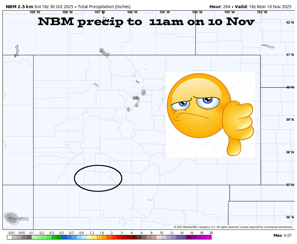
The 8-14 day period… A persistent ridge over the desert Southwest will keep the storm track to our north. The models hint at weak system 6-7 Nov. I expect most of the storm energy and moisture to stay to our north. We’ll have lots of sun and mostly dry weather for most of this period.

I expect the storm track to stay to our north (black arrows), and we’ll get very little precip during this period.

The next post will be on Saturday.
– Shawn


2 Responses
Thank you for the weather information.
You are most welcome, Cynthia! Arleen & Shawn