
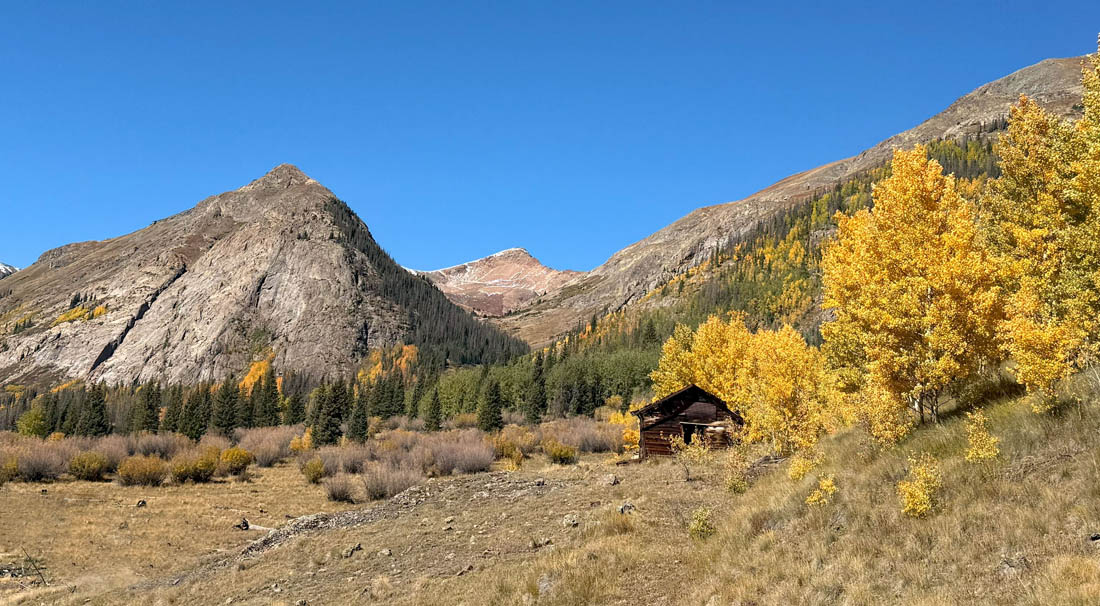
Fall in the San Juan Mountains near Lake City – pic taken 9/24/2025
Sunday – 28 Sep 2025 – 4:00pm
The past…
Stevens Field Observations
Friday: High: 73, Low: 36, Minimum relative humidity: 21%, Peak Wind: 21mph
Saturday: High: 67, Low: 40, Minimum relative humidity: 35%, Peak Wind: 21mph
| Average High | Record High / Year | Average Low | Record Low / Year |
| 70 | 85 / 1953 | 32 | 15 / 1993 |
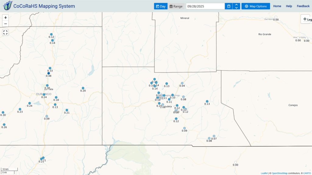
Precipitation summary… There was no measurable precip reported Saturday morning. Saturday night much of the county got some rain.
Current satellite and radar…


Forecast highlights…
*** Rest of Sunday through Monday afternoon there will be a few spotty showers and thunderstorms. ***
*** Tuesday through Thursday will be nice with chilly mornings and pleasant afternoons. ***
*** Friday and Saturday there will be more clouds and a few spotty showers and thunderstorms. Forecast confidence is low. ***
Forecast details…
Rest of Sunday and Monday… A cut-off low will weaken and slowly track through AZ and over the Four Corners. Moisture and instability are marginal for spotty storms. The best chance for rain is later this afternoon and into the early evening and then again late Sunday night.
Precip amounts:
Valley: nothing to .10” of rain – it will be spotty
Mountains above 12,000ft: around 1” of snow
Tuesday, Wednesday, and Thursday… A ridge will be to our east and a trough will skirt to our north. We’ll be in middle with not much going on. Expect scattered afternoon clouds and dry weather.
Friday and Saturday… A trough could dip far enough south to kick up a few showers and thunderstorms. Forecast confidence is low.
Temps…
Sunday and Monday highs will be in the low to high 60s and lows will be in the mid-30s to mid-40s.
Tuesday highs will be in the mid-60s to low 70s and lows will be in the *** low 30s *** to low 40s.
Wednesday, Thursday, and Friday highs will be in the high 60s to mid-70s and lows will be in the mid-30s to low 40s. Cold spots will flirt with freezing temperatures.
Saturday highs will be in the mid-60s to low 70s and lows will be in the *** low 30s *** to low 40s.
Winds… Monday through Thursday gusts each afternoon will be 15-20mph. Friday and Saturday afternoons gusts will be 20-25mph. As always, stronger isolated gusts are likely near a shower or thunderstorm.

The 8-14 day period… The models continue to flip-flop wildly for the 8-14 day period. I don’t see any big low-pressure systems headed our way.
We’re in the battleground between low pressure systems skirting to our north and the subtropical ridge trying to hang on to our south and southeast. It’s a typical transition season weather pattern. Stay tuned!

Unless something interesting pops up, the next post will be on Tuesday.
– Shawn


