

Another glorious Pagosa Country sunset – Pic taken 9/7/2025
Monday – 8 Sep 2025 – 3:10pm
The past…
Stevens Field Observations
Saturday: High: 76, Low: 41, Minimum relative humidity: 29%, Peak Wind: 21mph
Sunday: High: 78, Low: 41, Minimum relative humidity: 24%, Peak Wind: 22mph
| Average High | Record High / Year | Average Low | Record Low / Year |
| 76 | 88 / 1945 | 39 | 27 / 1910 |
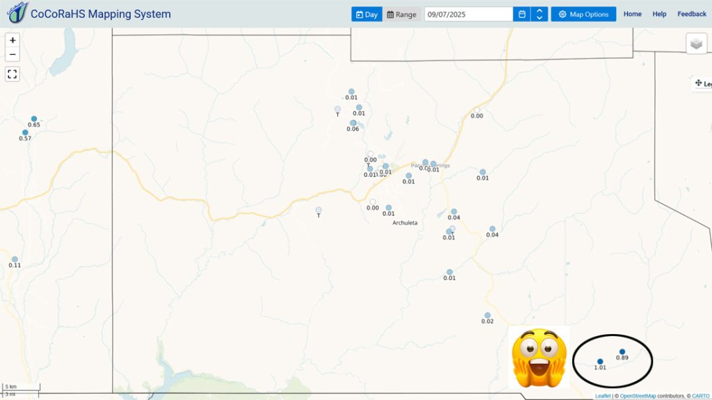
Precipitation summary… Most of the county got less than 0.05” on Saturday, but our friends in the Chromo area did very well. Yesterday a few folks reported 0.01”, but most locations didn’t get anything.
Fire and smoke…

Forecast discussion…
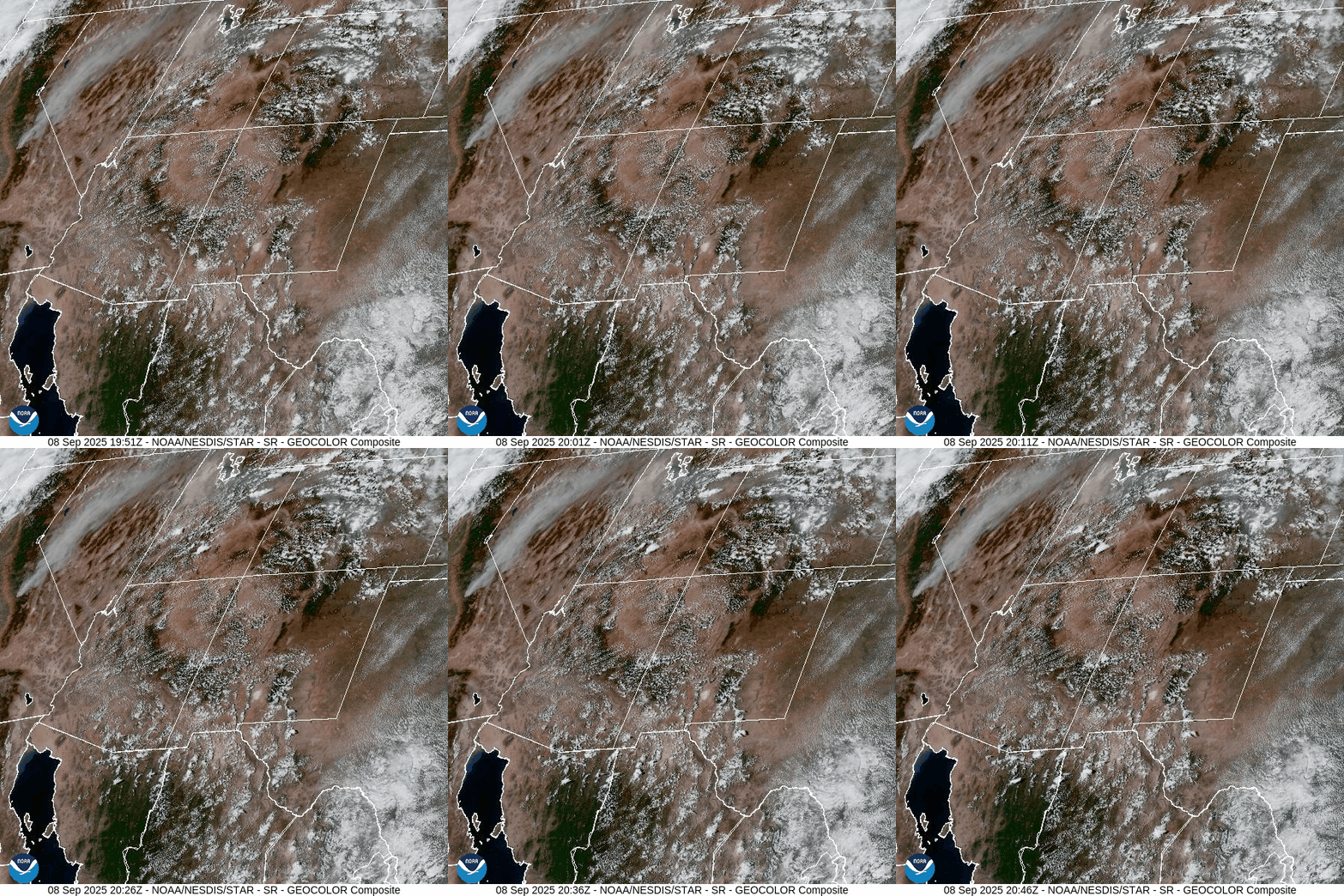

Forecast highlights…
*** Just a few spotty showers and thunderstorms Monday and Tuesday afternoons. Most of us will stay dry. ***
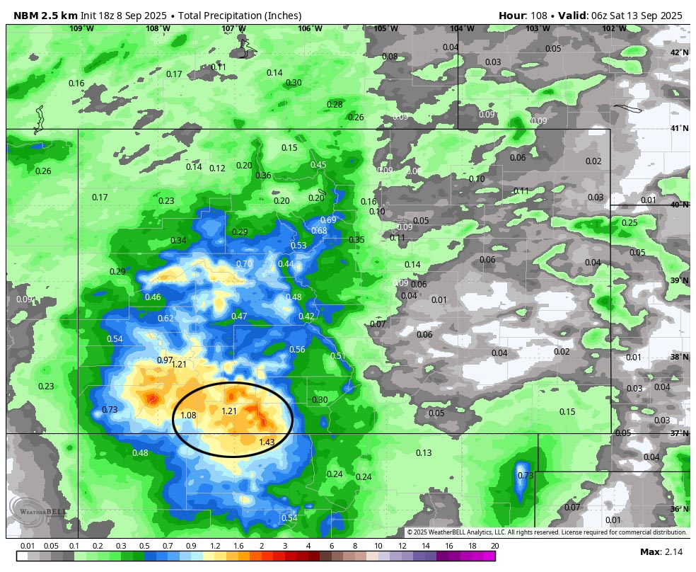
*** Potential soaker Wednesday afternoon through Friday evening. ***
*** SNOW is possible above timberline Thursday night and Friday. ***
*** The cold spots could dip below freezing Saturday, Sunday, and next Monday nights. ***
Rest of Monday and Tuesday… There is just enough moisture and instability to kick up an isolated afternoon shower or thunderstorm. Most of us will stay dry.
Wednesday through Friday… A strong low-pressure system will move through northern CA and then spin around the northern Great Basin before ejecting northeast into western MT.
The ingredients are trying to come together for a decent storm: vertically stacked southwest flow, orographic lift, moisture, and instability. The models are still fluctuating on timing and the amount of precip.
At this time, the best chance for precip is Wednesday afternoon into Friday afternoon. Most of the precip will come from occasional bands of showers and thunderstorms.
SNOW? The snow level could drop into the 12,000-12,500ft range late Thursday night through Friday afternoon. It will be heavy wet snow with temps near freezing so just an inch or two is possible on most of our peaks.
Saturday through next Monday… A few spotty showers are possible Saturday, mostly over the mountains. Sunday and Monday will be nice with lots of blue sky and pleasant highs in the 70s.
Temps…
Monday through Wednesday highs will be in the mid-70s to low 80s and lows will be in the high 30s to high 40s.
Thursday, Friday, and Saturday highs will be in the mid-60s to mid-70s. Thursday and Friday lows will be in the high 30s to high 40s. Saturday night lows will be in the mid-30s to mid-40s.
Sunday and next Monday highs will be in the low to high 70s and lows will be in the mid-30s to mid-40s.
*** The cold spots could dip below freezing Saturday, Sunday, and next Monday nights. ***
Winds… Gusts each afternoon gusts will be 20-25mph. As always, stronger isolated gusts are likely near a shower or thunderstorm.
The 8-14 day period… The models are really flip-flopping for this period. We’re in the battleground between low pressure systems skirting to our north and the subtropical ridge trying to hang on to our south. It’s a typical transition season weather pattern. Stay tuned!

Unless something interesting pops up, the next post will be on Wednesday.
– Shawn


