
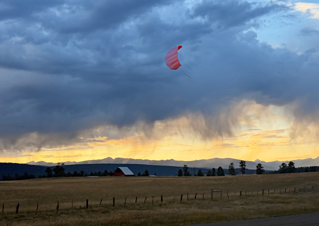
Flying our kite as the sun sets – Pic taken 8/31/2025
Thursday – 4 Sep 2025 – 5:10pm
The past…
Stevens Field Observations
Tuesday: High: 79, Low: 44, Minimum relative humidity: 23%, Peak Wind: 28mph
Wednesday: High: 82, Low: 45, Minimum relative humidity: 17%, Peak Wind: 23mph
| Average High | Record High / Year | Average Low | Record Low / Year |
| 78 | 90 / 1955 | 39 | 29 / 1973 |
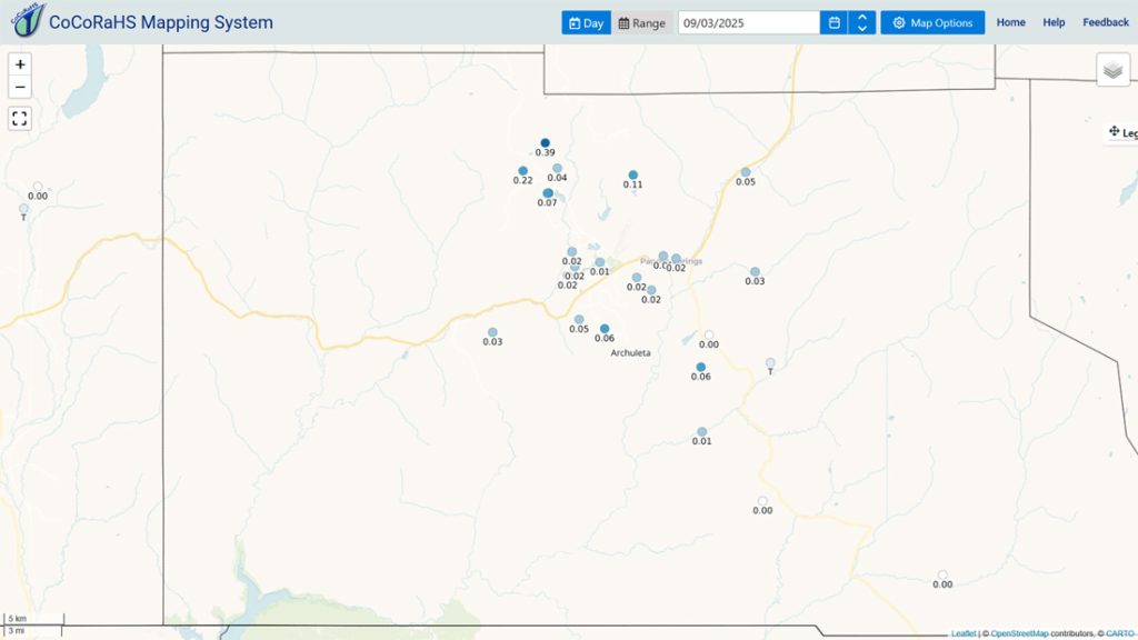
Precipitation summary… Wednesday was mostly dry with just a few reports of 0.01” and 0.02”. Tuesday a few folks got a decent soaking. Those reports are below.
Fire and smoke…

Forecast discussion…


Forecast highlights…
*** Stage 2 Fire Restrictions are in effect for the entire San Juan National Forest. ***
*** Stage 1 Fire Restrictions are in effect for Archuleta County and the Town of Pagosa***
*** Unsettled with scattered showers and thunderstorms through Saturday evening. The best chance is each afternoon into each evening. ***
*** Fewer showers and thunderstorms Sunday afternoon and then just a couple of spotty storms Monday through Wednesday. ***
*** If you spot smoke, call Archuleta County dispatch at 970-731-2160. ***
Rest of Thursday through Wednesday…
Late Thursday afternoon and into Thursday night, moisture and instability will gradually increase. A few hit and miss showers and thunderstorms are possible into the night.
Friday and Saturday a surge of monsoon moisture will lead to more showers and thunderstorms. I expect most of the county to get 0.20” to 0.40”.
Sunday is a transition day as moisture and instability decrease. There will be less storm activity.
Monday and through Wednesday, feeble monsoon activity will return. There’s just a slight chance for a few isolated afternoon showers and thunderstorms. Precip amounts will be light and spotty.
Temps…
Thursday night lows will be in the low to high 40s.
Friday and Saturday highs will be in the high 60s to mid-70s and lows will be in the mid-40s to low 50s.
Sunday highs will be in the low to high 70s and lows will be in the high 30s to high 40s.
Monday, Tuesday, and Wednesday highs will be in the mid-70s to low 80s and lows will be in the high 30s to high 40s.
Winds… Afternoon gusts through Monday will be 15-20mph. Tuesday and Wednesday afternoon gusts will be 20-25mph. As always, stronger isolated gusts are likely near a shower or thunderstorm.
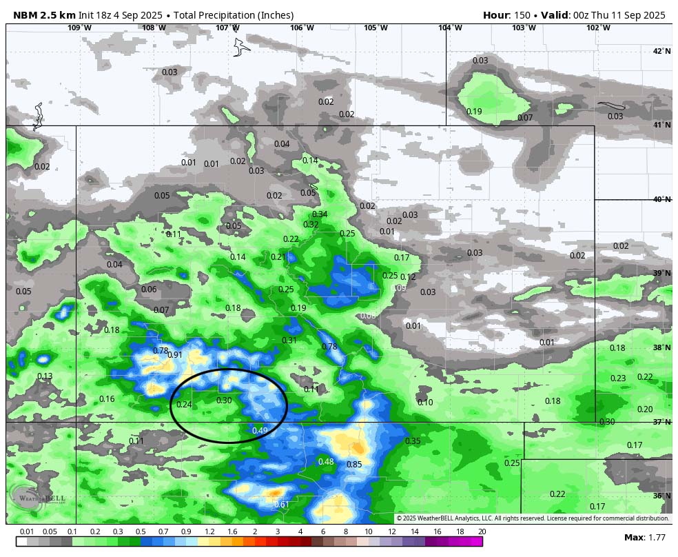
The 8-14 day period… Sometime between next Thursday and next Sunday a low-pressure system could move through the region and bring us a little precip. The forecast models are struggling with the track and intensity, so my forecast confidence is low.
The models are really flip-flopping the rest of the period. Right now I expect a high to build over the region resulting in weak monsoon activity with a few spotty showers and thunderstorms each afternoon. Precip amounts will be low.

Unless something interesting pops up, the next post will be on Saturday.
– Shawn


