

Area streams are low and warm. Either fish up high or fish early and be done by noon. – Pic taken 7/31/2025
Saturday – 2 Aug 2025 – 1:45pm
The past…
At Stevens Field the high temperature on Thursday was 83, and on Friday it was 82. The low this morning was 48. The cold spots were in the low 40s.
The minimum relative humidity Thursday afternoon was 19% and Friday afternoon it was 20%.
The peak wind at Stevens Field on Thursday was 31mph and on Friday it was 26mph.
| Average High | Record High / Year | Average Low | Record Low / Year |
| 82 | 92 / 1958 | 46 | 36 / 1950 |
Precipitation summary… Thursday much of the county got decent rain. Yesterday 3 locations reported 0.01” while nearly everyone else reported zero rain.

Fire and smoke…
As of Saturday morning, The Rim Road Fire west of Ignacio is at 114 acres and is 90% contained. This will be the last time I include this fire unless something changes.
As of Saturday morning, the Elkhorn Fire north of Durango is 317 acres and is 23% contained.
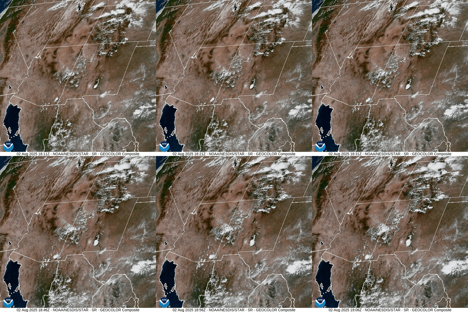
The Middle Mesa Fire burning east of Navajo Lake just south of the CO/NM border was reported Friday afternoon and quickly grew to 500 acres by Friday evening.
There is a little more smoke in our area, but air quality has been good across Archuleta County.
*** Between the Middle Mesa Fire east of Navajo Lake and the large Dragon Bravo Fire near the North Rim of the Grand Canyon, more smoke could move into our area. ***

Forecast discussion…
Forecast highlights…
*** Stage 1 Fire Restrictions are in effect for the entire San Juan National Forest. ***
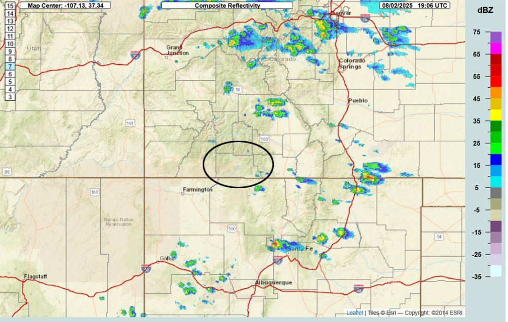
*** Just a slight chance for an isolated afternoon shower or thunderstorm on Saturday. ***
*** Concerned about fire danger through Tuesday with lots of sun, warm, dry, and gusty afternoon winds. ***
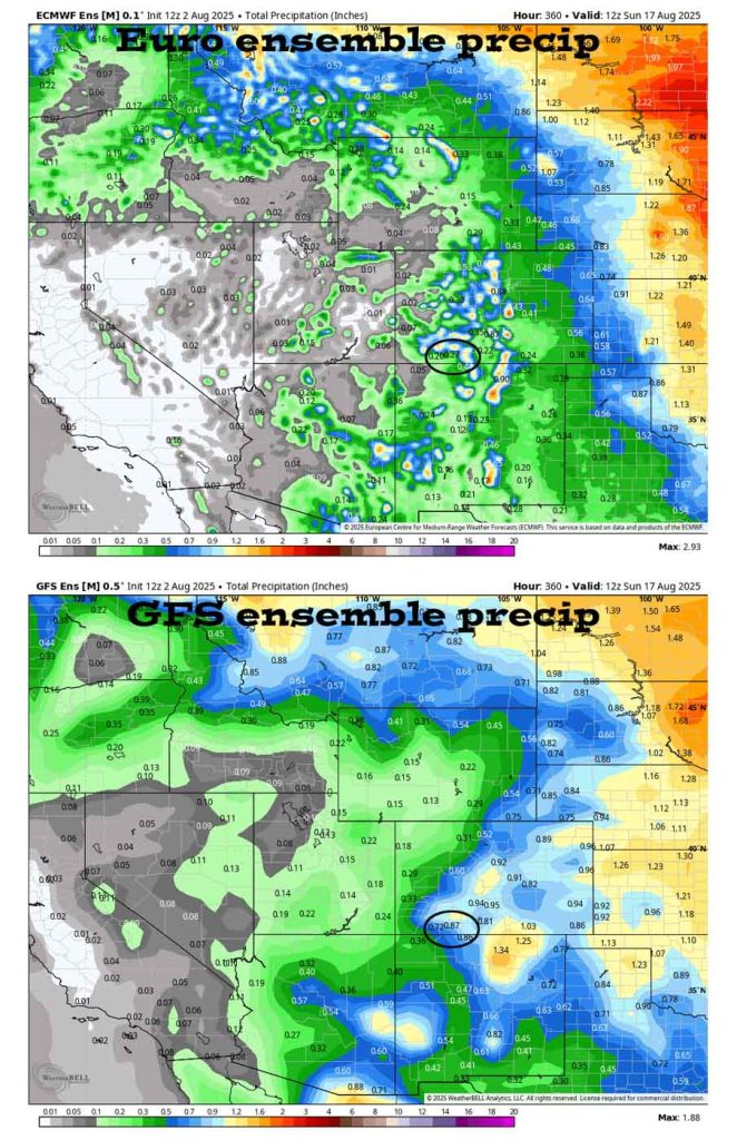
*** The 8-15 day period does not look encouraging. ***
*** Recent rainfall across Pagosa Country has varied considerably. Fire danger remains high. New lightning fires are possible. If you spot smoke, call Archuleta County dispatch at 970-731-2160. ***
Rest of Saturday through next Saturday… The monsoon plume will get cut-off Sunday through Wednesday. The second half of next week a little more moisture will move in.
And what does that mean? There is a slight chance on for an isolated shower or thunderstorm today. Sunday through Wednesday will be sunny, warm, and dry with gusty afternoon winds. Thursday through the rest of next week there is just a slight chance for an isolated afternoon shower or thunderstorm. Consider yourself lucky if you get enough rain to wet the ground.
Temps…
Saturday highs will be in the low to high 80s and lows will be in the low 40s to low 50s.
Sunday through next Saturday highs will be in the mid-80s to low 90s and lows will be in the low 40s to low 50s.
Winds… Saturday through Tuesday afternoon gusts will be around 25mph. Wednesday through next Saturday afternoon gusts will be around 20mph. As always, stronger isolated gusts are likely near a shower or thunderstorm.

I think most of us will stay dry.
The 8-14 day period… A weak monsoon pattern with weak moisture and weak instability will persist. I’m starting to see a slight uptick in moisture and instability starting 11 or 12 Aug. Expect isolated showers and thunderstorms most afternoons. Precip amounts will vary considerably.

Unless something interesting pops up, the next post will be on Monday.
– Shawn


2 Responses
Thank you
You’re welcome. Thank you for following us.