
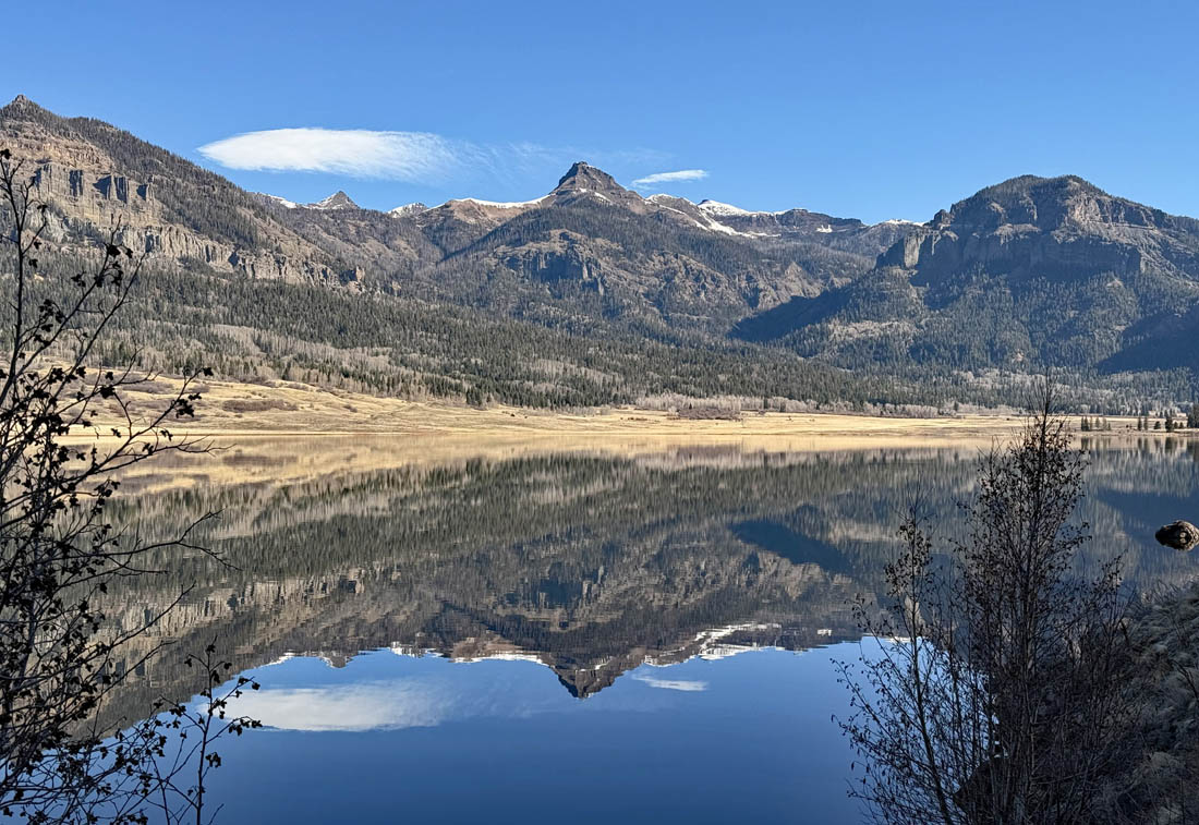
Beautiful morning reflection on the lake – pic taken 4/12/2025
Monday – 14 Apr 2025 – 5:00pm
The past…
At Stevens Field the high temperature on Saturday was 70 and on Sunday it was 66. The low this morning was 34. The cold spots dipped into the mid-20s.
The peak wind at Stevens Field on Saturday was 26mph and on Sunday it was 30mph.
| Average High | Record High / Year | Average Low | Record Low / Year |
| 59 | 76 / 1940 | 23 | 7 / 1996 |
Precipitation summary… There has been no recent measurable precip.
Forecast discussion…
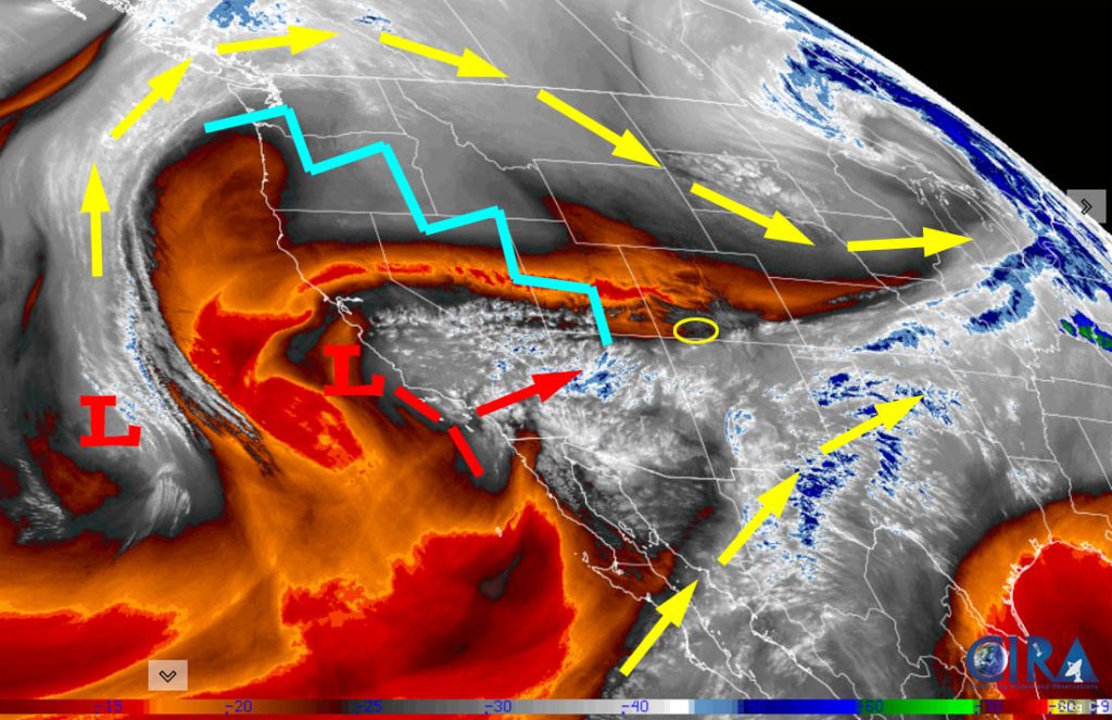
There is nothing on radar in our area.
Forecast highlights…
*** Spotty showers Tuesday afternoon. ***
*** Thursday will be the windiest day of the week with 30-40mph gusts. ***
*** Much cooler Friday and Saturday with scattered showers. ***
Tuesday… A weak trough will move through in the afternoon and kick up a few scattered showers, mostly over the mountains. There is also a slight chance for an isolated thunderstorm. The snow level will be above 10,000ft.
Precip amounts…
Mountains above 10,000ft: up to 1” of snow for the lucky spots
Pagosa area: up to 0.05” of rain for the lucky spots – some spots won’t get any precip
Temps… Highs will be in the high 50s to mid-60s and lows will be in the high 20s to mid-30s.
Winds… Afternoon gusts will be around 20mph.

Wednesday and Thursday… We’ll have increasing upper-level flow out of the southwest. I expect us to stay dry, but clouds will vary between partly cloudy and mostly cloudy. Thursday will be the windiest day of the week.
Temps… Wednesday highs will be in the low to high 60s and lows will be in the high 20s to mid-30s. Thursday highs will be in the high 50s to mid-60s and lows will be in the mid-20s to low 30s.
Winds… Wednesday afternoon gusts will be around 25mph. Thursday afternoon gusts will be 30-40mph.
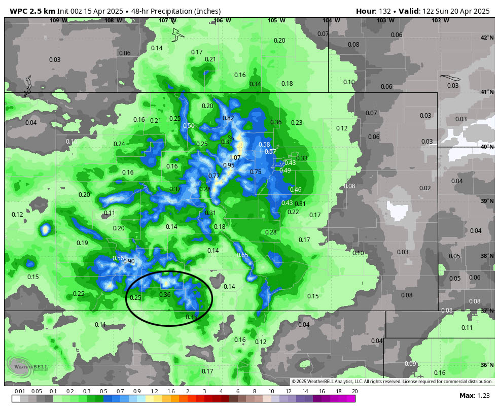
Friday and Saturday… A slow-moving, cooler storm will move through the region. We’ll have mostly cloudy skies and occasional scattered showers. The best chance for precip is each afternoon.
Snow levels will mostly stay above 8,000ft but could briefly drop down to 7,500ft with stronger showers or thunderstorms. A few isolated lightning strikes are possible each afternoon. Rain, snow, graupel, and small hail are all possible.
Precip amounts…
Mountains above 9,000ft: 5-10” of snow
Pagosa area above 8,000ft: up to 1” of snow / 0.25” to 0.50” of rain
Pagosa area below 8,000ft: a few slushy snowflakes with no accumulation / 0.25” to 0.50” rain
Temps… Friday highs will be in the high 40s to mid-50s and lows will be in the mid-20s to low 30s. Saturday highs will be in the mid-40s to low 50s and lows will be in the low to high 20s.
Winds… Friday afternoon gusts will be 25-30mph. Saturday afternoon gusts will be around 20mph.
Sunday and Monday… A transient ridge will move through and keep us dry and give us partly cloudy skies.
Temps… Sunday highs will be in the low to high 50s and low will be in the mid-20s to low 30s. Monday highs will be in the high 50s to low 60s and lows will be in the high 20s to mid-30s.
Winds… Afternoon gusts will be 20-25mph.
The 8-14 day period… I don’t see any big storms, but the weather pattern will try to stay active with chances for light precip. Thankfully clouds and slightly higher humidities will help mitigate fire danger a bit.
The next forecast post will be on Wednesday.
– Shawn


