

Pikes Peak towering over Colorado Springs – Pic taken 11/15/2024
Saturday – 16 Nov 2024 – 11:45am
The past…
At Stevens Field the high temperature Friday afternoon was 58. The low this morning was 24. The cold spots dipped into the high teens.
The peak wind at Stevens Field on Friday was 37mph and at Lobo Overlook the peak wind was 51mph.
| Average High | Record High / Year | Average Low | Record Low / Year |
| 48 | 69 / 1943 | 15 | -15 / 1955 |
Precipitation summary… There has been no recent measurable precip.
Forecast discussion…
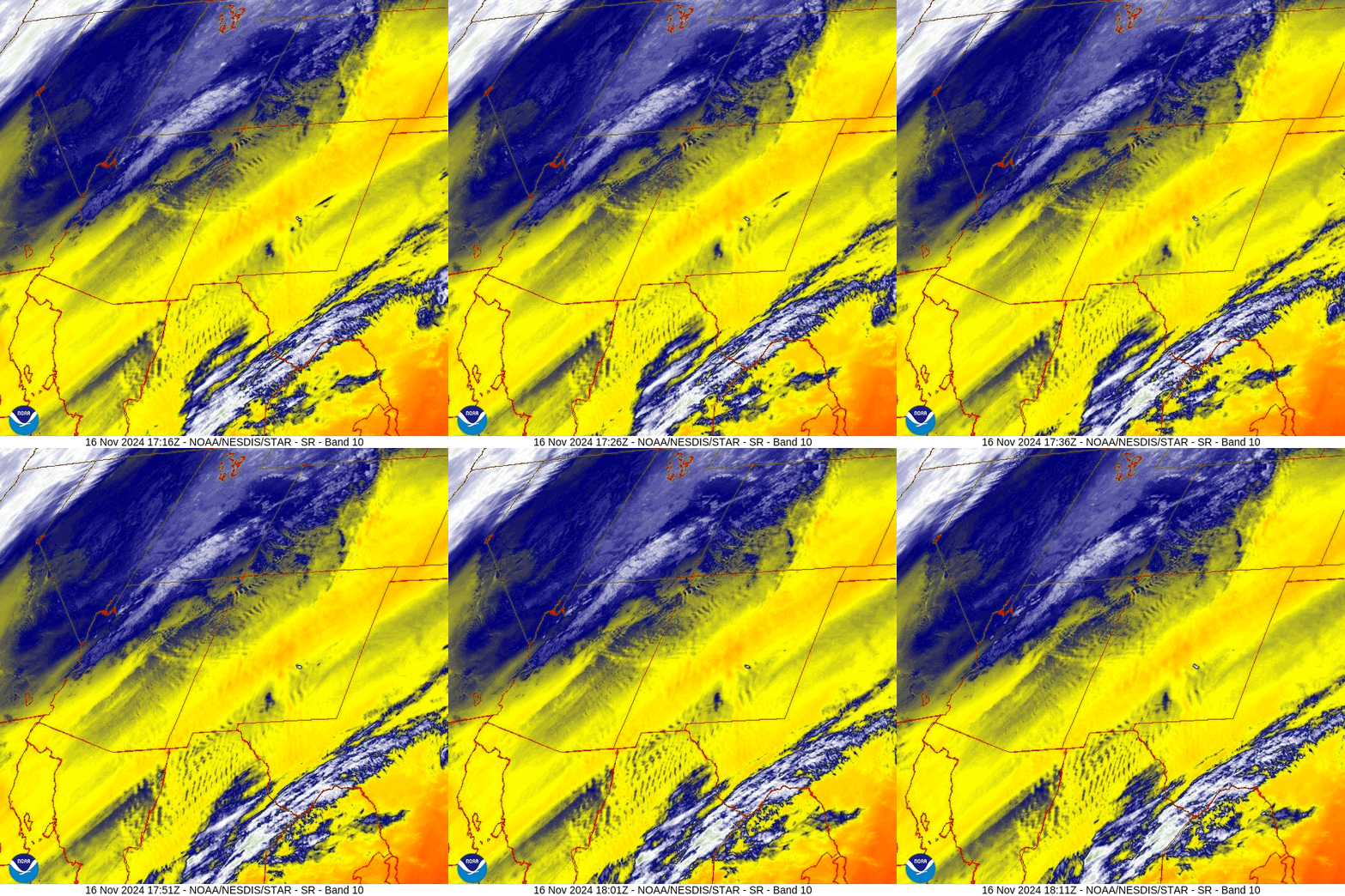
There is nothing on radar in our area Saturday morning.
Forecast highlights…
*** A mountain snowflake or two is possible today. A few more snowflakes on Tuesday. ***
Rest of Saturday… A trough will move to our southwest across southern AZ. Upslope southwest flow and a little moisture will result in scattered to broken clouds and a snowflake or two in the mountains. Lucky spots in the mountains could get a half inch of snow.
Temps will be 5-10 degrees below average on Saturday.
Winds… Saturday afternoon gusts will be 20-25mph.
Temps… Saturday highs will be in the high 30s to the mid-40s and lows will be in mid-teens to mid-20s.
Sunday and Monday… A low pressure system will be well to our south and we’ll be in the col area where little will happen. Patches of clouds will move through. We’ll stay dry in the valley but a snowflake or two is possible in the mountains on Sunday.
Winds… Afternoon gusts will be 15-20mph.
Temps… Highs will be in the low to high 40s and lows will be in the low teens to low 20s.
Monday night and Tuesday… We’ll catch the southern end of a fast-moving trough. Clouds will increase Monday night into Tuesday afternoon. There’s a slight chance for a few snowflakes early Monday morning into Tuesday afternoon.
Snow forecast…
Mountains: 1-3”
Valley: up to a half inch in the lucky spots
Winds… Afternoon gusts will be 10-20mph
Temps… Monday night lows will be in the low teens to low 20s. Tuesday highs will be in the mid-30s to low 40s and lows will be in the mid-single digits to high teens.

Wednesday through Saturday… High pressure will be in control. We’ll have lots of blue sky and stay dry. Temps Wednesday will be 5-10 degrees below average and then warm to slightly above average the rest of the week.
Winds… Afternoon peaks will be around 10mph.
Temps… Highs Wednesday will be near 40 to the high 40s and lows will be in the mid-teens to low 20s. Highs Thursday through Saturday will be near 50 to the high 50s and lows will be in the high teens to mid-20s.
The 8-14 day period… Upper-level flow will be from the west and northwest. For us, it’s what I call “the scraps pattern”. The coastal mountains get most of the most moisture while we just get scraps.

The next post will be on Monday.
– Shawn


