

A peek of golden morning sun between storm clouds and fog – pic taken 8/23/2024
If images fail to load in the email, please click the title of the post. Thanks!
Monday – 26 Aug 2024 – 4:30pm
The past…
At Stevens Field the high temperature Saturday afternoon was 71 and the high on Sunday was 74. The low this morning was 53.
The minimum relative humidity Saturday was 38% with a dew point of 44. Sunday it was 26% with a dew point of 36.
The peak wind at Stevens Field Saturday afternoon was 17mph and on Sunday it was 32mph.
| Average High | Record High / Year | Average Low | Record Low / Year |
| 79 | 88 / 1985 | 43 | 26 / 1956 |
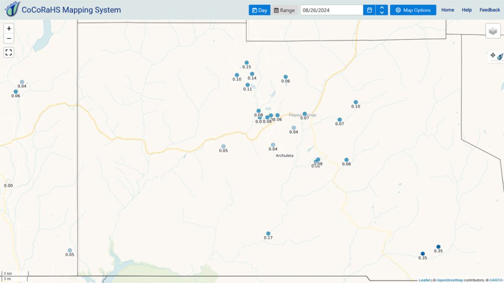
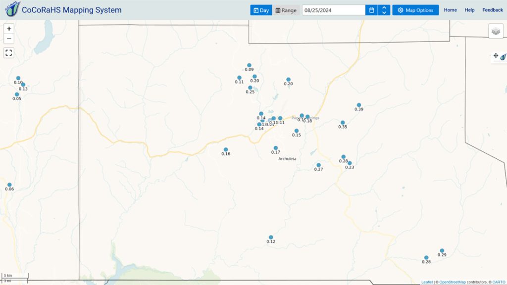
Precipitation summary… Precip reports have varied considerably the last few days.
Forecast discussion…
Forecast highlights…
*** This week will be less active with an isolated storm or two each afternoon. ***
*** Any storm can produce brief periods of heavy rain, small hail, gusty winds, and lightning. ***
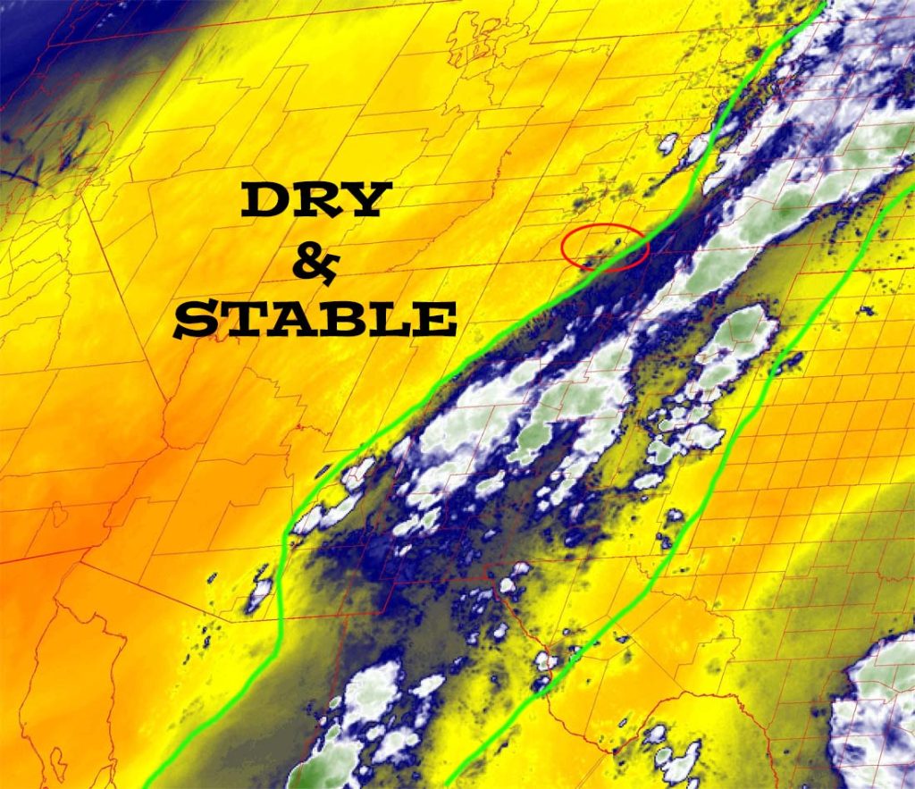
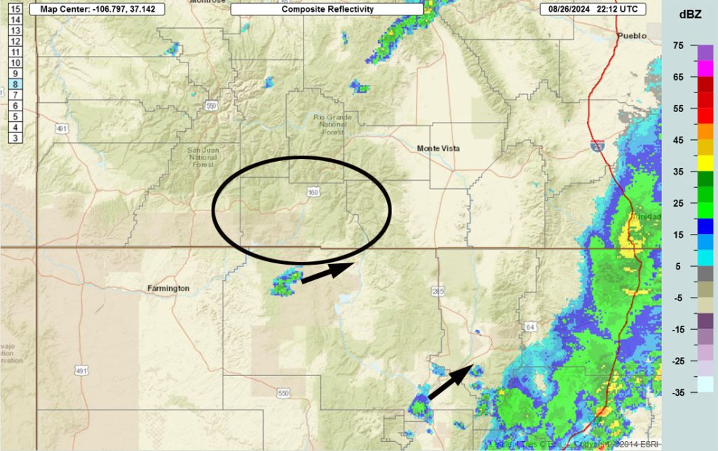
Monday through Sunday… The monsoon moisture plume will get cut-off but residual moisture and instability will be enough to kick up a few isolated storms late each afternoon.
Winds… Afternoon peaks will be around 15mph. Higher gusts are likely near storms.
Temps… Highs Monday and Tuesday will be in the low to high 70s and lows will be 40 to 50. Highs Wednesday through Sunday will be in the mid-70s to low 80s and lows will be in the low 40s to low 50s.
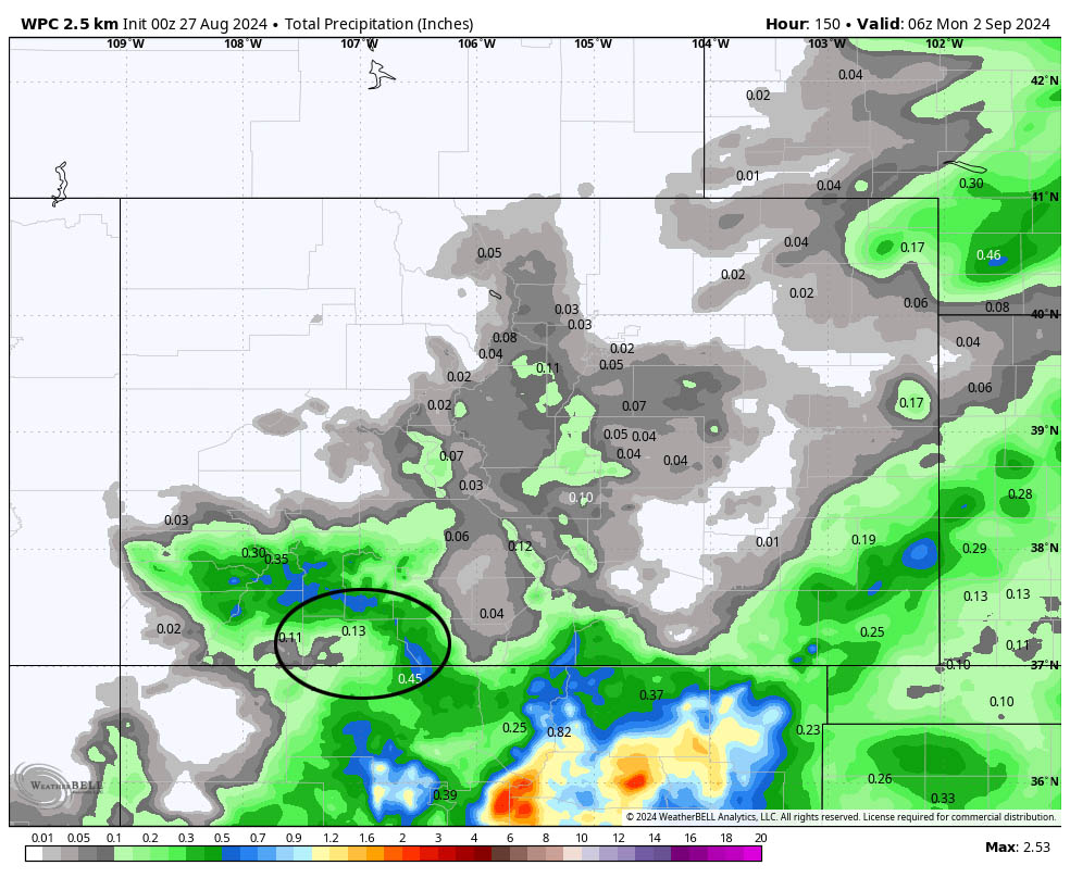
The 8-14 day period… The subtropical ridge will weaken but remain in the area – typical for early September. Marginal moisture and instability result in a weak monsoon pattern for us with isolated afternoon and evening storms.
Temps will be near average to slightly above average.
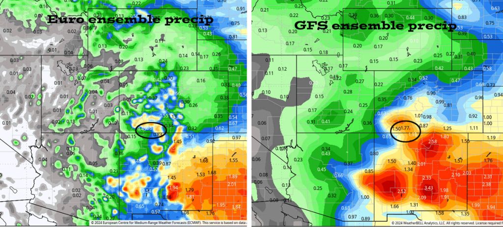
This is a pretty big difference. At this point I’m leaning towards the lower amounts of the Euro forecast model.
The next forecast post will be on Wednesday.
– Shawn


