

It was fun hanging out with the San Juan Sled Dog pups yesterday! – Pic taken 5/19/2024
If images fail to load in the email, please click the title of the post. Thanks!
Monday – 20 May 2024 – 1:30pm
*** We’d love to see you at our presentation this week! ***
Location: Library
Date: Thursday, 23 May
Time: 6pm
Subject: The North American Monsoon
The past…
At Stevens Field the high temperature yesterday afternoon was 71. The low this morning was 39. The cold spots dipped into the high 20s.
The peak wind at Stevens Field yesterday was 29mph.
| Average High | Record High / Year | Average Low | Record Low / Year |
| 69 | 80/ 1961 | 32 | 17 / 1913 |
Precipitation summary… There has been no recent measurable precip.
Forecast discussion…
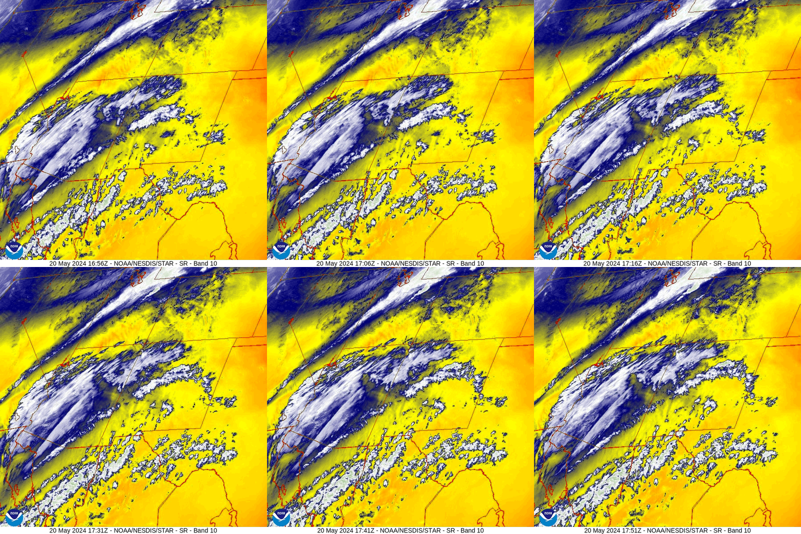
There is nothing on radar in our area around noon on Monday.
Forecast highlights…
*** Spotty showers this evening and again Tuesday afternoon. ***
*** 1-2” of snow is possible above 10,000ft. ***
*** Cooler temps tomorrow. ***
*** Dry with breezy afternoons for a while. ***
Rest of Monday and Tuesday… A trough will move through this evening. Moisture and storm energy are weak in our area but should be enough to kick up a few scattered showers and maybe a thunderstorm, especially over the mountains.
Our best chance for precip is this evening and then again Tuesday afternoon. The lucky spots could get up to 0.10” but I expect most of us to get less.
Snow levels will be 9,500 to 10,000ft. 1-2” of snow is possible in the mountains.
Winds… Afternoon gusts will be 25-35mph. Stronger gusts are possible near showers and thunderstorms.
Temps… Lows tonight will be in the low to high 30s. Tuesday highs will be in the low to high 60s and lows will be in the high 20s to high 30s.


Wednesday through Monday… Upper-level flow will be mostly flat, west to east, in our area. A couple of troughs will stay well to our north over WY. The only thing we’ll get from those is gusty afternoon winds.
Winds… Gusts will be around 25mph each afternoon.
Temps… Wednesday through Monday highs will be in the mid-60s to mid-70s and lows will be in the low to high 30s.
Two-week outlook… Climatologically the second half of May through June is our driest time of year.
At this point, I see no organized storms for us over the next two weeks, which is typical during this period. I do see the subtropical ridge trying to build over the region during the first week of June. This would bring us a little more moisture and instability leading to spotty afternoon showers and thunderstorms – maybe a prelude to the monsoon setting up.


“1” shows the system moving through this evening.
Then it’s dry 21 to 31 May.
The first week of June looks more active, but precip amounts remain light.
My next post will be on Wednesday.
– Shawn


