
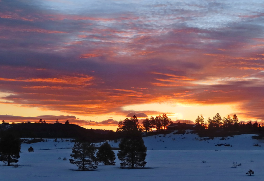
Another colorful Colorado sunrise – pic taken 3/30/2024
If images fail to load in the email, please click the title of the post. Thanks!
Saturday – 30 Mar 2024 – 10:00am
The past…
At Stevens Field the high temperature yesterday afternoon was 51 and the low this morning was 31.
The peak wind at the airfield yesterday was 22mph.
| Average High | Record High / Year | Average Low | Record Low / Year |
| 52 | 72/ 1986 | 19 | -8 / 1975 |
Precipitation summary… There has been no recent measurable precip.
Forecast discussion…


Forecast highlights…
*** Windy Saturday, and Sunday afternoons. ***
*** Slight chance for blowing dust late Saturday afternoon. ***
*** Next system will move through Sunday and Monday. ***
Rest of Saturday … The ridge has pushed to our east and upper-level southwest flow is increasing. Patches of clouds will move through but we’ll stay dry. There is a slight chance that western NM/eastern AZ will send us some dust later in the afternoon.
Winds… Afternoon gusts in the valley will be 25-35mph, and 45-55mph in the mountains.
Temps… Highs Saturday will be in the high 40s to high 50s and lows will be in the low to high 30s.

The red arrows indicate dust source regions and wind direction. Winds across the dust region will be 30-45mph. This is on the low end for kicking up dust, but it is possible. Also, that area has received precip in the last week which makes it hard for dust to get kicked up.
The chance for dust getting pushed into our area is low, but it is something I’ll keep a close eye on.
Sunday through Monday… The next system will move through.
Timing… The first scattered showers will start over the mountains early Sunday morning and then over the valley around noon Sunday. The best chance for precip is Sunday afternoon and Monday afternoon. Hit and miss showers will persist into Monday night, mostly over the mountains.
Snow levels… Will be around 7,800ft early Sunday morning into Sunday evening. By midnight Sunday snow levels will drop to 7,000ft, drop to around 6,000ft by sunrise Monday, and then pop up to 7,200ft by Monday afternoon. Temps will be above freezing during our best chances for precip so snow will struggle to accumulate.
Snow amounts…
Valley below 7,400ft: up to 1”
Valley 7,400-8,000ft: up to 2”
Valley above 8,000ft: up to 3”
Mountains: 8-14”
Winds… Sunday afternoon gusts will be 25-35mph in the valley and 45-55mph in the mountains. Monday afternoon gusts will be 15-20mph.
Temps… Sunday highs will be in the mid-40s to low 50s and lows Sunday night will be around 30 to the mid-30s. Monday highs will be in the low to mid-40s and lows will be in the low to high 20s.

Tuesday, Wednesday, and Thursday… Ridging will take over and give us lots of sun and pleasant spring temps.
Winds… Tuesday and Wednesday afternoon peaks will be 10-15mph. Thursday afternoon peaks will be 15-20mph.
Temps… Highs Tuesday will be in the high 40s to mid-50s and lows will be in the high teens to mid-20s. Highs Wednesday will be in the low to high 50s and lows will be in the low to high 20s. Highs Thursday will be in the mid-50s to low 60s and lows Thursday night will be in the mid-20s to low 30s.
Friday and Saturday… Another system will move through. Stay tuned for details on this one.
My next post will be tomorrow.
– Shawn


