

It was busy up at Wolf Creek today! – Wolf Creek Ski Area web cam at 11:37am Saturday
Saturday – 15 Feb 2025 – 3:20pm
The past…
At Stevens Field the high temperature on Friday was 36. The low this morning was 23.
The peak wind at Stevens Field Friday afternoon was 31mph.
| Average High | Record High / Year | Average Low | Record Low / Year |
| 42 | 57 / 1981 | 8 | -27 / 1949 |
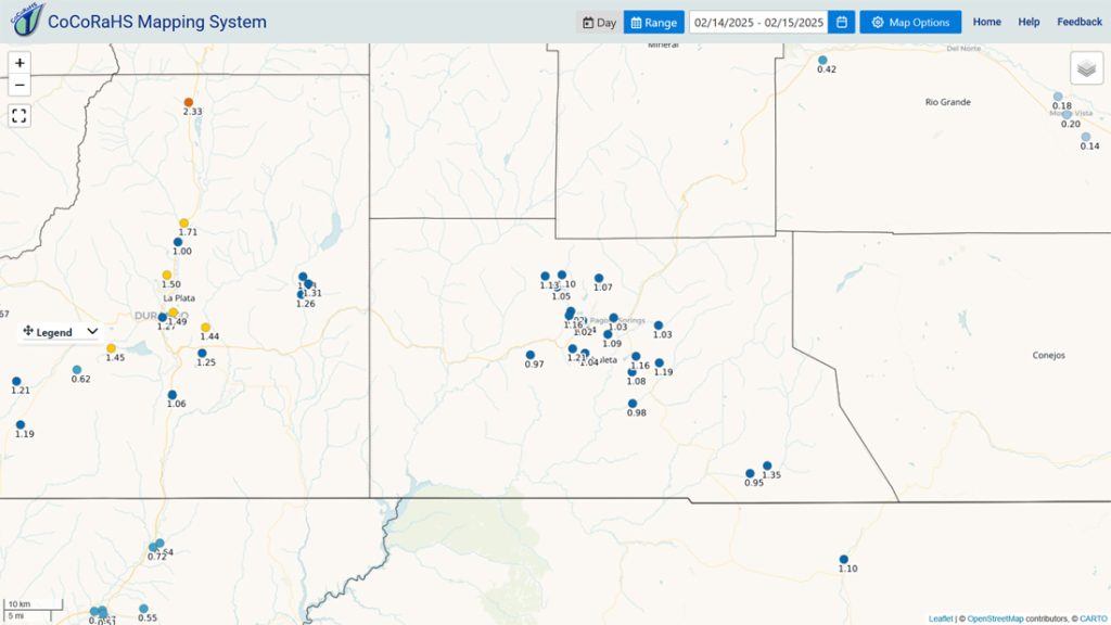
Precipitation summary… Wolf Creek reported 11” of new snow this morning and a storm total of 17”.
Thanks a bunch for your reports and pictures!

Forecast discussion…

Forecast highlights…
*** Hit and miss snowshowers Saturday afternoon. ***
*** The WINTER STORM WARNING for the southwest San Juan Mountains will expire at 5pm Saturday. *** This does not include Pagosa Springs.
*** A weak storm will move through Monday night into Tuesday with low snow amounts. ***
*** Another weak storm is possible Thursday afternoon through Friday. ***

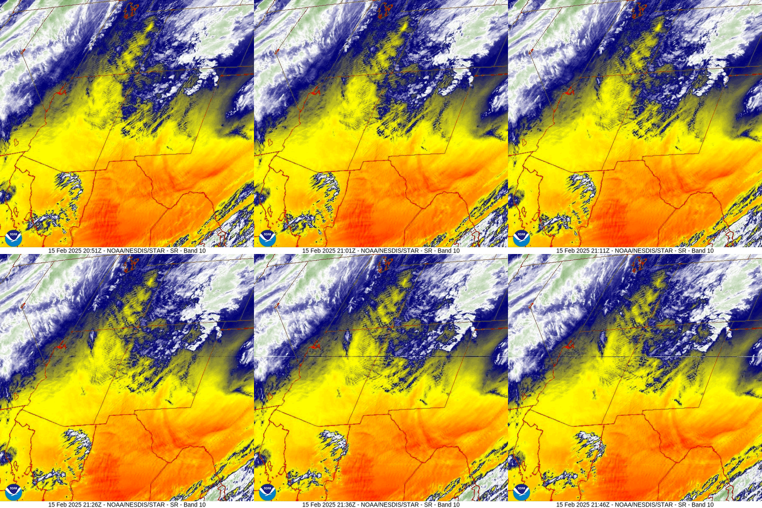
Rest of Saturday through Monday evening… Spotty showers will end around sunset on Saturday. Clouds will clear and temps will drop Saturday night.
Sunday we’ll see lots of sun and temps near seasonal averages.
Monday clouds and winds will increase, temps will warm 5 degrees, and spotty showers are possible over the mountains starting in the afternoon.
Temps… Lows Saturday night will be in the mid-single digits to mid-teens. Sunday highs will be in the high 30s to mid-40s and lows will be in the low teens to near 20. Monday highs will be in the low to high 40s.
Winds… Sunday afternoon gusts will be 10-15mph. Monday afternoon gusts will be 20-25mph. In the mountains, gusts will be around 40mph.
Monday night into Tuesday afternoon… We’ll get a few “scraps” as a trough moves through northern Colorado. It’s a wimpy storm with low snow amounts.
Snow amounts…
Mountains: 1-3”
Pagosa area: up to a half inch
Temps… Lows Monday night will be 10-20. Highs Tuesday will be in the mid-30s to low 40s and lows Tuesday night will be in the mid-single digits to mid-teens.
Winds… Tuesday afternoon gusts will be around 15mph.

Tuesday night through Thursday morning… A transient ridge will push patches of mid and high clouds through the area, but it will be dry.
Temps… Lows Tuesday night will be in the mid-single digits to mid-teens. Wednesday highs will be in the mid-30s to mid-40s and lows will be near 10 to near 20.
Winds… Gusts Wednesday afternoon will be 15-20mph.
Thursday afternoon through Friday… We’ll get a few “scraps” as another system moves through northern Colorado. There will be a few spotty snowshowers, mostly over the mountains. Snow accumulations will be minimal.
Snow amounts…
Wolf Creek area: up to 2”
Pagosa area: a dusting in a few lucky spots
Temps… Highs will be in the low to high 40s and lows will be in the mid-teens to low 20s.
Winds… Afternoon gusts will be 15-20mph.

The next post will be on Monday.
– Shawn


