
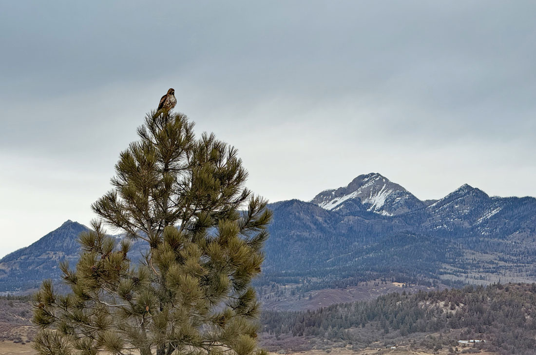
Lots of clouds but no snow yet – pic taken 10 Feb 2024
Monday – 10 Feb 2025 – 12:45pm
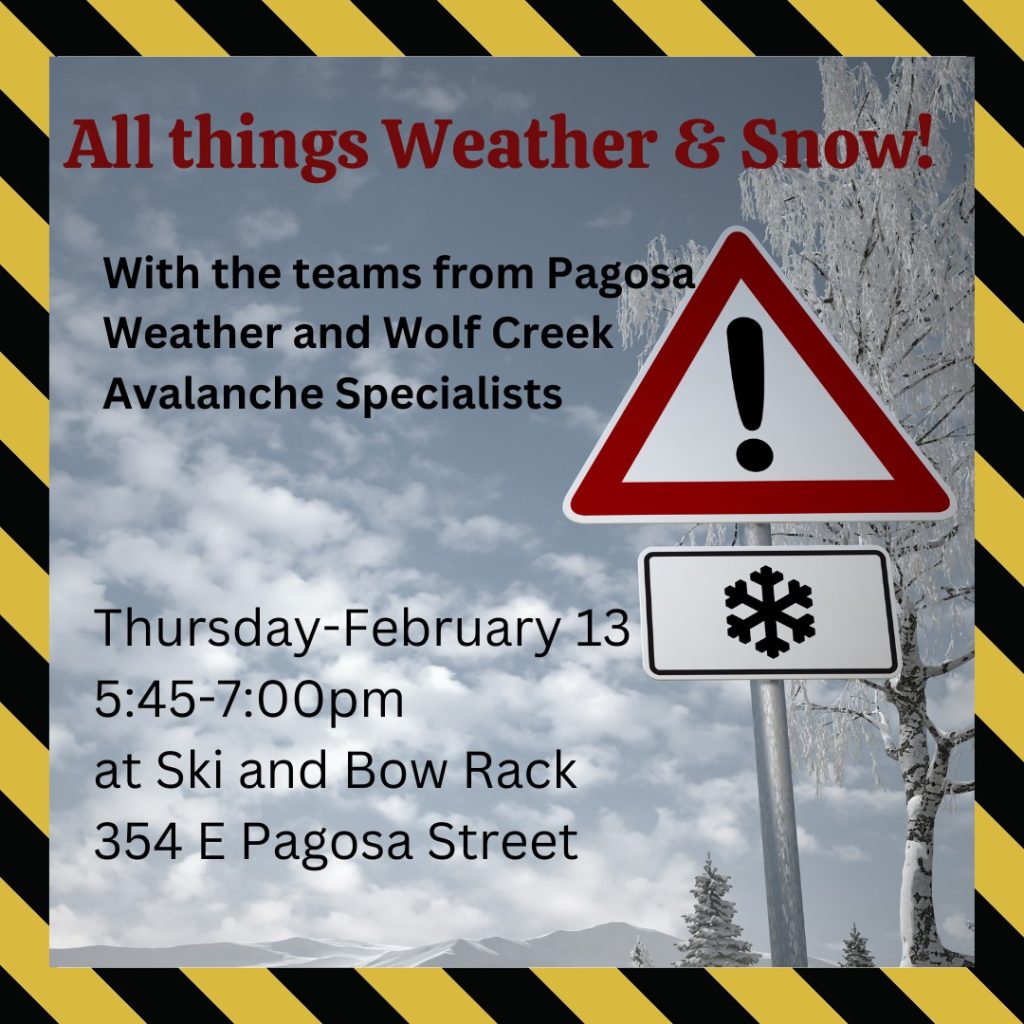
Side note… The “real” snow will hold off until after our presentation. Thank you Mother Nature!
The past…
At Stevens Field the high temperature on Saturday was 48 and Sunday it was 43. The low this morning was 27.
The peak wind at Stevens Field Saturday afternoon was 32mph and Sunday afternoon it was 20mph.
| Average High | Record High / Year | Average Low | Record Low / Year |
| 42 | 57 / 1996 | 6 | -28 / 1949 |
Precipitation summary… There has been no recent measurable precip.
Forecast discussion…
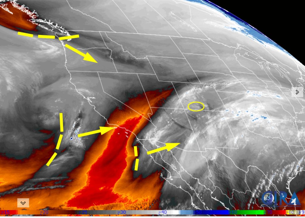
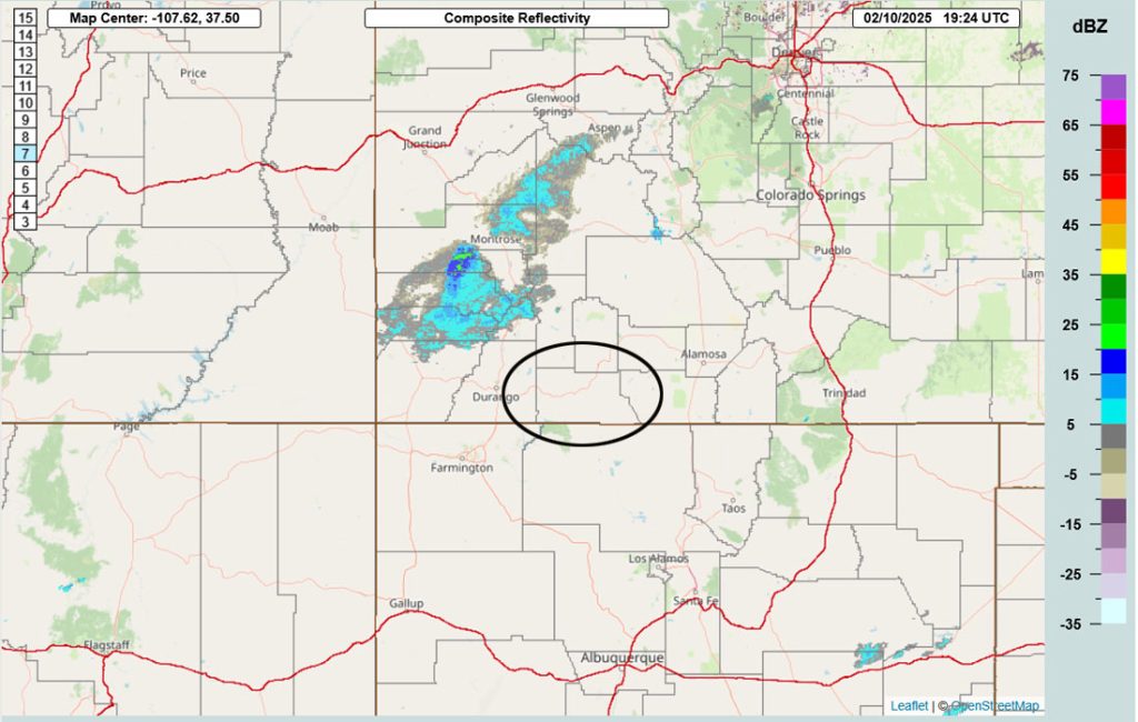
Forecast highlights…
*** Rest of Monday through Tuesday morning a few spotty snowshowers over the mountains. ***
*** Tuesday afternoon through early Wednesday afternoon increased snowshowers and a little accumulation. ***
*** Thursday night into Saturday morning SNOWBLOWER ALERT and POOR TRAVEL CONDITIONS. ***
Rest of Monday through Thursday morning… Upper-level southwest flow will gradually push more moisture into our area. It’s going to stay unsettled as weak troughs move quickly through the region. We’ll see periods of mostly cloudy skies and occasional bands of showers.
Timing…
Rest of Monday through Tuesday morning there will be a few light snowshowers over the mountains.
Tuesday afternoon into early Wednesday afternoon is the best chance for snow.
Wednesday evening through Thursday morning a spotty snowshower is possible in the mountains.
Snow amounts rest of Monday through Tuesday morning…
Wolf Creek area: up to 1”
Pagosa area: a few spotty snowflakes
Snow amounts Tuesday afternoon through Wednesday afternoon…
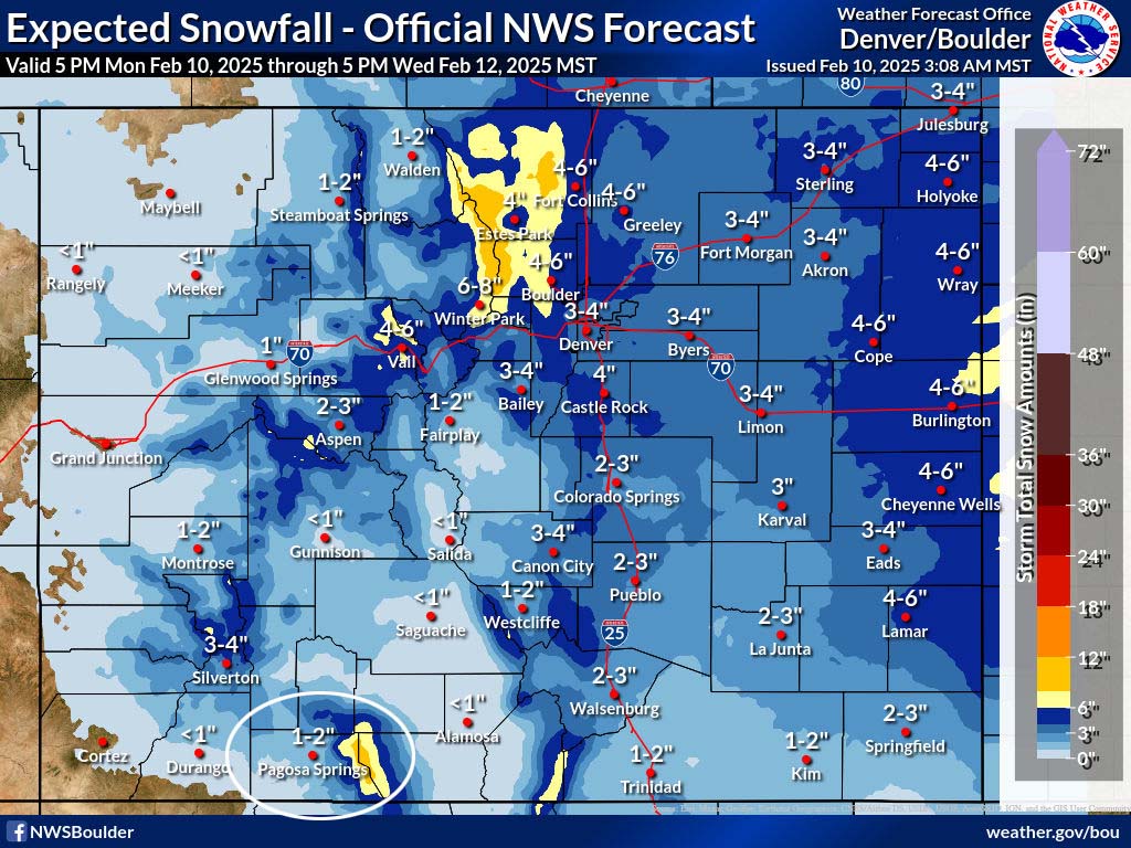
Wolf Creek area: 3-6”
Pagosa area: a dusting to 2”
Temps…
Monday highs will be in the mid to high 40s and lows will be in the mid-teens to mid-20s. Tuesday highs will be in the mid-30s to low 40s and lows will be in the low teens to low 20s.
Wednesday highs will be in the high 20s to mid-30s and lows will be near zero to the low teens.
Winds… Afternoon gusts will be 25-30mph. The windy spots will flirt with 35mph Tuesday afternoon. In the mountains, gusts will be 35-45mph.
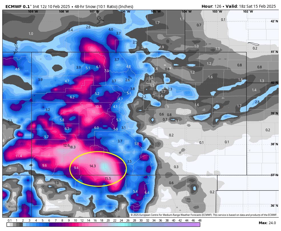
Thursday afternoon through Saturday afternoon… The main storm system will move through. Jetstream, flow direction, moisture, and storm energy are lining up for a decent storm.
Timing… Snowshowers will gradually increase over the mountains late Thursday afternoon and over the valley late Thursday evening. The heaviest snow is possible late Thursday evening into early Friday evening. Snowshowers will gradually taper off in the valley late Friday evening and over the mountains early Saturday afternoon.
*** Most of the snow will fall between late Thursday evening and early Friday evening. Expect poor travel conditions across the region. ***
Snow amounts…
Pagosa area: 6-12”
Wolf Creek area: 18-26”
Temps… Highs will be in the low to high 30s and lows will be in the high teens to high 20s. Saturday night lows will be in the mid-single digits to low teens.
Winds… Thursday and Saturday afternoons gusts will be around 20mph. Friday afternoon gust will be 25-30mph.
Sunday through Monday evening… Dry with temps slightly above average.
Monday night through Tuesday… The next low-pressure system will move through. It looks like another wimpy storm with low snow amounts. Stay tuned for the details.
I’ll do a post every day through the storm.
– Shawn


