
Biking with a happy pup – pic taken by Felipe on 12/30/2024
Monday – 30 Dec 2024 – 4:45pm
The past…
Stevens Field started reporting data today!
Highs yesterday were mostly in the mid-40s to low 50s and lows this morning were mostly in the high teens to the high 20s.
Peak winds Monday afternoon were around 30mph.
| Average High | Record High / Year | Average Low | Record Low / Year |
| 35 | 55 / 1956 | 1 | -25 / 1909 |
Precipitation summary… There has been no recent measurable precip.
Forecast discussion…
There is nothing on radar in our area.
Forecast highlights…
*** Nothing to get excited about for the next two weeks. ***
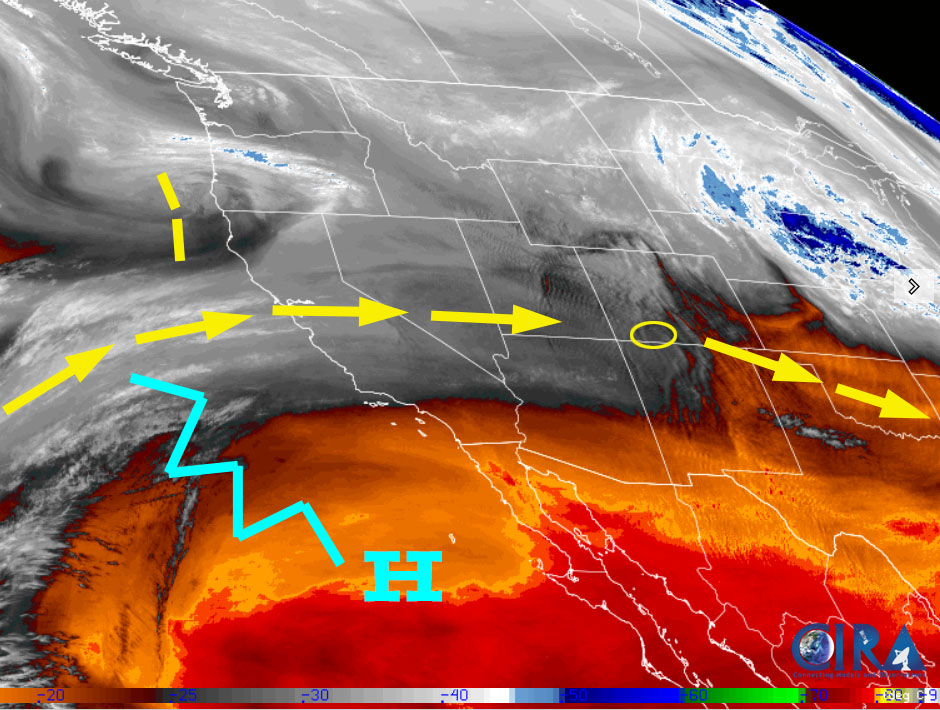
Rest of Monday… Upper-level flow is west to east and dry over our region. Gusty winds will taper off after the sun goes down.
Temps… Monday night lows will be in the mid-single digits to mid-teens.
Tuesday… A weak, fast-moving trough will move through the region from the northwest. We’ll see a few more clouds and a few spotty snowflakes over our mountains. Lucky spots in our mountains could get an inch of new snow.
Winds… Afternoon gusts will be around 15mph.
Temps… Highs will be in the mid-30s to low 40s and lows will be in the low single digits to low teens.

Wednesday through Friday… A ridge will build over the region and bring us dry flow out of the northwest. We’ll see lots of sun and a warming trend.
Winds… Afternoon peaks will be around 10mph.
Temps… Wednesday highs will be in the mid-30s to low 40s and lows will be in the mid-single digits to mid-teens. Thursday highs will be near 40 to the high 40s and lows will be in the low teens to low 20s. Friday highs will be in the mid-40s to low 50s and lows will be in the low teens to low 20s.
Saturday through Monday… This will be an unsettled period as multiple troughs move rapidly through the area from the northwest. Like the last few storm cycles, the central and northern mountains will be favored while we just get a few scraps.
Details like timing, storm track, and precip amounts are still fuzzy.
Rough first guess snow amounts…
Mountains: A few scattered snowflakes to 3”
Pagosa area: zero to a half inch
Winds… Afternoon gusts will be 15-20mph
Temps… Saturday highs will be near 40 to the mid-40s and lows will be in the low teens to low 20s. Sunday and Monday highs will be in the mid-30s to low 40s and lows will be in the low teens to low 20s.
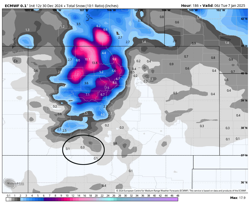
The 8-15 day period… A ridge will build along the west coast while a trough keeps things active over the eastern US. Unless something changes, I don’t see anything to get excited about for the next 15 days – boooo hissss.

In the upper left the Euro ensemble shows 0.20”.
In the upper right the Euro AI shows 0.40”.
In the bottom left the GFS ensemble shows 0.26”.
In the bottom right the Canadian ensemble shows 0.24”.
Notes: The models agree that upper-level flow will be mostly out the west and northwest. This does not favor us. Except for the Euro AI, the models are surprisingly consistent with precip amounts. Sadly those amounts are considerably below average for this time of year.
My next post will be on Wednesday.
– Shawn


