
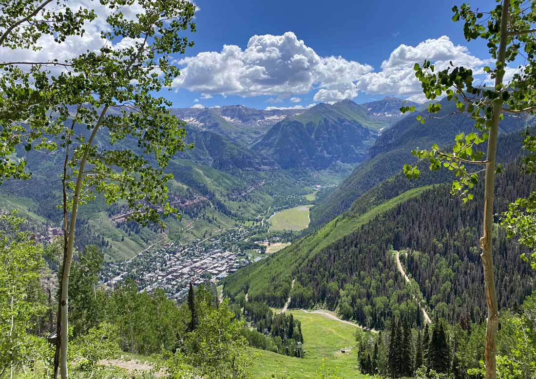
A glorious day in Telluride! – pic taken 6/25/2024
If images fail to load in the email, please click the title of the post. Thanks!
Wednesday – 26 June 2024 – 5:40pm
The past…
At Stevens Field the high temperature Tuesday afternoon was 82 and on Wednesday it was 84. The low this morning was 53.
The minimum relative humidity today was 23% with a dew point of 41. Yesterday it was 17% with a dew point of 35.
The peak wind at Stevens Field yesterday afternoon was 39mph caused by a shower that moved through around 4:30pm. Today’s highest wind so far is just 8mph.
| Average High | Record High / Year | Average Low | Record Low / Year |
| 82 | 94/ 1990 | 38 | 22 / 1951 |
Precipitation summary… A couple of spotty showers moved through yesterday afternoon but precip amounts were light. The highest report was 0.03” in the Lake Forest area.
Forecast discussion…


Forecast highlights…
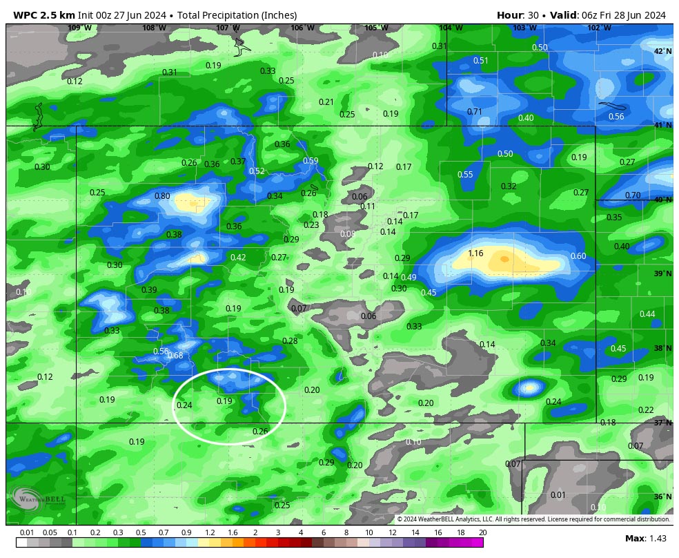
*** The Grand Junction NWS has issued a FLOOD WATCH for all of southwest Colorado valid Thursday afternoon through Thursday evening. ***
*** Stronger surges of moisture will give us our best chance for showers and thunderstorms Thursday afternoon and evening and then again on Sunday. ***
*** Spotty afternoon showers and thunderstorms for the foreseeable future. ***
Rest of Wednesday and Thursday… A surge of moisture will increase our chance for showers and thunderstorms. The best chance for precip is late Wednesday evening and then again Thursday afternoon. Mid and upper-level flow is weak so storms will be “slow movers” and could drop a bunch of rain over small areas in a quick period.
Winds… Afternoon gusts will be 15-20mph, but isolated stronger gusts are possible near showers and thunderstorms.
Temps… Lows Wednesday night will be in the high 40s to mid-50s. Thursday highs will be in the high 70s to mid-80s and lows will be in the mid-40s to low 50s.
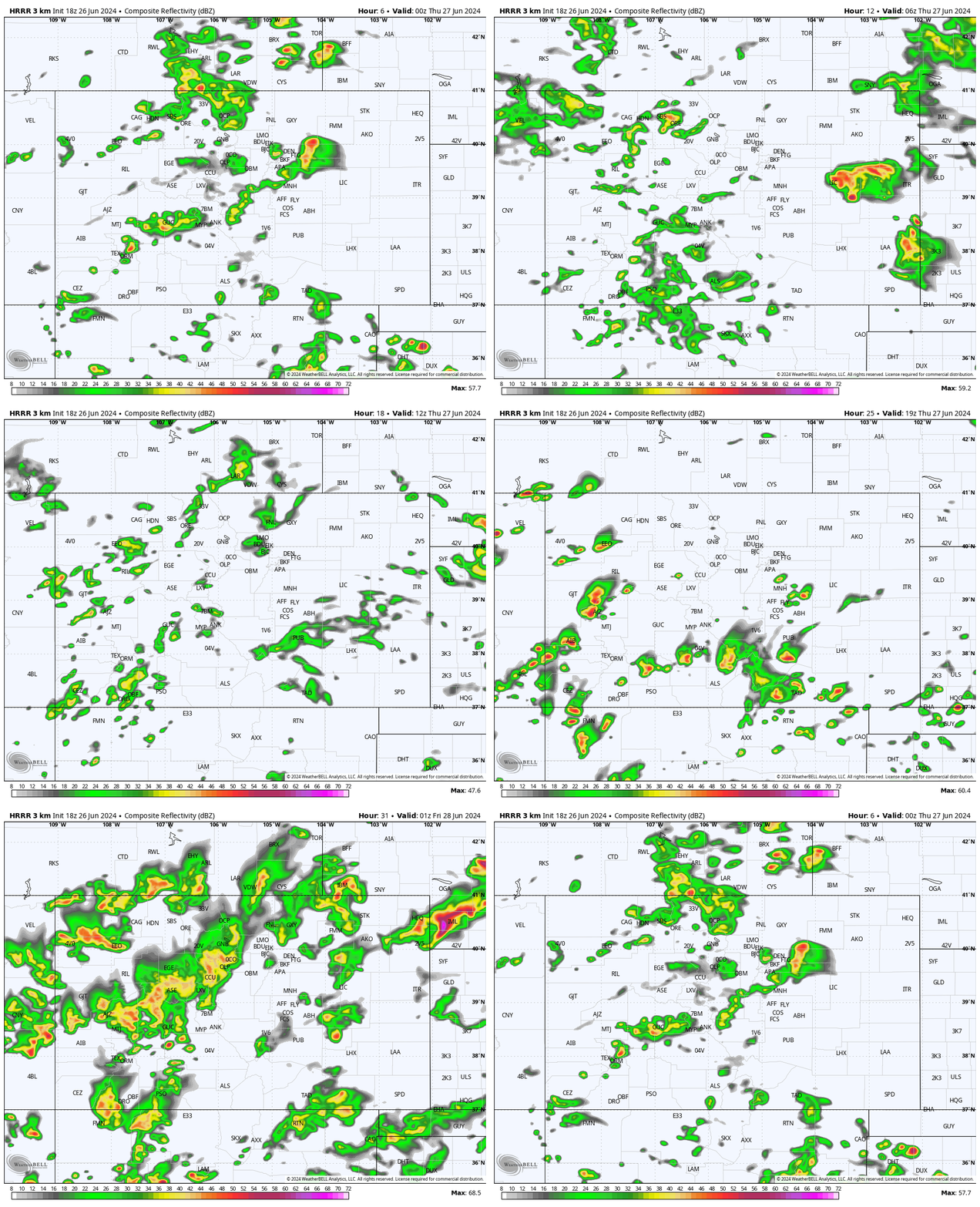
Friday and Saturday… There will be just a slight chance for a spotty afternoon shower or a thunderstorm as moisture decreases.
Winds… Afternoon gusts will be around 20mph.
Temps… Highs will be in the low to high 80s and lows will be in the mid-40s to low 50s.
Sunday and Monday… Another surge of tropical moisture will boost our chance for scattered showers and thunderstorms. The best chance for precip is Sunday afternoon into Sunday evening.
Winds… Afternoon gusts will be 15-20mph, but isolated stronger gusts are possible near showers and thunderstorms.
Temps… Highs will be in the mid-70s to mid-80s and lows will be in the high 40s to mid-50s.
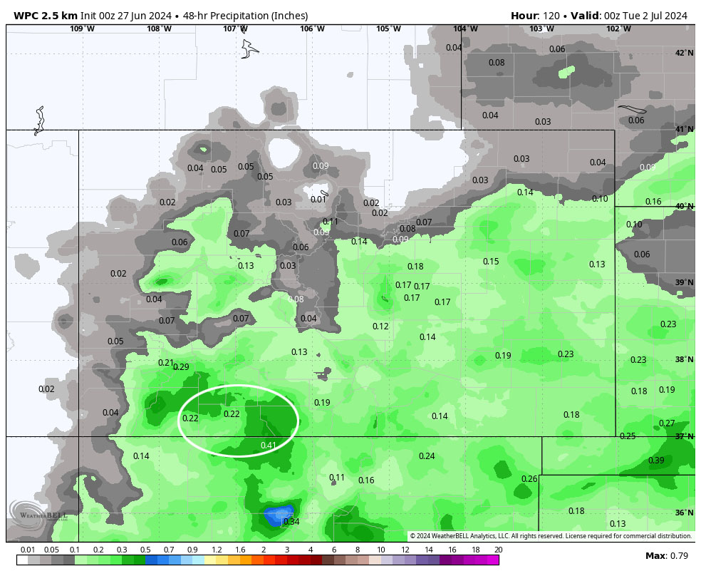
Tuesday and Wednesday… Moisture and instability will decrease giving us just a slight chance for isolated showers and a thunderstorm or two.
Winds… Afternoon gusts will be 15-20mph, but isolated stronger gusts are possible near showers and thunderstorms.
Temps… Highs will be in the high 70s to mid-80s and lows will be in the mid-40s to low 50s.
Unless my forecast is out of whack or something pops up, my next post will be Friday morning.
– Shawn


