

Love these summer sunsets!
If images fail to load in the email, please click the title of the post. Thanks!
Saturday – 8 June 2024 – 4:15pm
The past…
At Stevens Field the high temperature Friday afternoon was 87 – tied the previous record set in 1913. The warm spots were in the mid-90s Friday afternoon. So far on Saturday afternoon the high as been 84. The low this morning was 47. The cold spots were in the low 40s.
Wind… Yesterday afternoon there were a few strong outflow gusts from collapsing showers.
The peak wind at Stevens Field yesterday afternoon was 38mph and so far today the wind has peaked at 31mph.
| Average High | Record High / Year | Average Low | Record Low / Year |
| 75 | 92/ 1946 | 34 | 17 / 1950 |
Precipitation summary… Most locations didn’t report any precip for Friday, but two locations had a trace. Lisa was the rain lottery winner with 0.04″ near Mill Creek.
Forecast discussion…

Forecast highlights…
*** Hit and miss afternoon showers and thunderstorms Sunday through Tuesday. Best chance is Monday. ***
Rest of Saturday through Tuesday… A weak low will move north up the Gulf of California.
A weak surge of subtropical moisture is slowly moving north into our area. Saturday conditions are stable, so I expect us to stay dry.
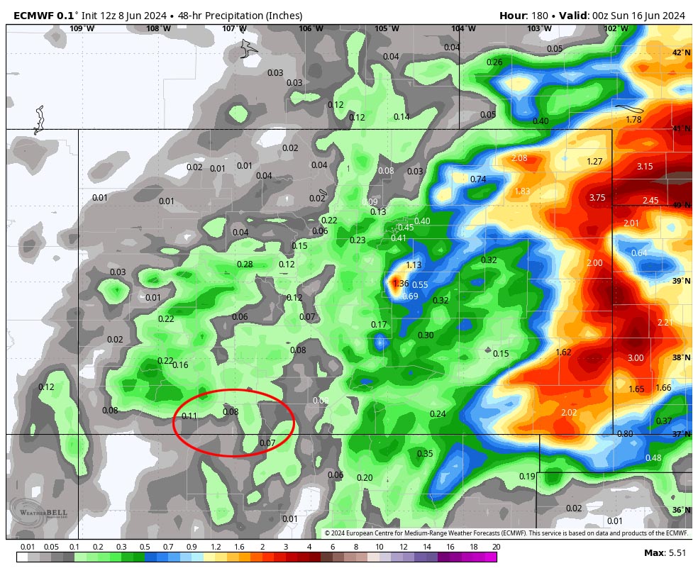
Moisture and instability will increase a little Sunday and then will peak Monday giving us our best chance for showers and thunderstorms. Precip will be spotty so we’ll be playing the rain lottery.
Winds… Saturday afternoon gusts will be 20-25mph. The rest of the period, afternoon peaks will be near 15mph. Isolated higher gusts are possible near showers and thunderstorms.
Temps… Highs Saturday will mostly be in the low to high 80s and lows will be in the low to high 40s. Highs Sunday and Tuesday will be in the low to high 80s and lows will be in the low to high 40s. Monday highs will be in the low to high 70s and lows will be in the low to high 40s.

Sunday the first few spotty showers develop over the mountains noon to 1pm.
Shower and thunderstorm activity increases over Archuleta County Sunday evening.
A band of light showers could move through Monday morning and then another round of scattered showers and a few thunderstorms is possible Monday afternoon into the evening.

Wednesday and Thursday… Drier air will move in as the ridge builds again over the region. We’ll have lots of sun and temps will be warmer.
Winds… Afternoon gusts will be 15-20mph.
Temps… Afternoon highs will be in the mid-80s to low 90s and lows will be in the low to high 40s.
Friday and Saturday… Another weak low will move through the Four Corners region. Moisture and instability will increase leading to spotty afternoon showers and a thunderstorm or two. The best chance for precip is Friday afternoon into Friday evening. Temps will be closer to average.
Winds… Afternoon gusts will be 15-20mph. Isolated higher gusts are possible near showers and thunderstorms.
Temps… Highs will be in the high 70s to mid-80s and lows will be in the low to high 40s.
My next forecast post will be on Monday.
– Shawn


