
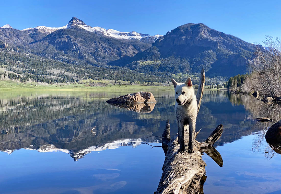
Happy pup at the lake on a beautiful morning – Pic taken 5/22/2024
If images fail to load in the email, please click the title of the post. Thanks!
Thursday – 23 May 2024 – 10:30am
*** We’d love to see you at our presentation tonight! ***
Location: Library
Date: Thursday, 23 May
Time: 6pm
Subject: The North American Monsoon
The past…
At Stevens Field the high temperature yesterday afternoon was 67. The low this morning was 33. Yesterday morning the cold spots dipped into the low 20s and this morning the cold spots were in the high 20s.
The peak wind at Stevens Field Tuesday afternoon was 40mph and Wednesday afternoon it was 32mph.
| Average High | Record High / Year | Average Low | Record Low / Year |
| 70 | 85/ 1984 | 32 | 15 / 1930 |
Precipitation summary… There was no measurable precip in the last 24 hours.
Four Corners region fires and smoke… The sky is a little hazy this morning. It’s smoke from fires burning in AZ. There are 2 other fires I’m keeping an eye on for smoke: Spruce Fire near Dolores and Indios Fire in the Chama River Canyon Wilderness.
Smoke moving into our area from any of these fires is dependent on winds. Here’s the wind direction required for us to get smoke from each fire:
AZ fires: winds from the southwest
Spruce Fire near Dolores: winds from the west
Indios Fire: winds from the south
Currently winds are blowing from the west-southwest but will gradually turn more westerly. Right now, I don’t see any significant smoke headed our way, but I’ll keep a close eye on it.

Forecast discussion…

There is nothing on radar in our area this morning.
Forecast highlights…
*** Beautiful weather for a while. ***
*** “Light” smoke will persist in our area due to fires burning in the Four Corners region. ***
*** Fire danger will gradually increase over the next two weeks. ***
Thursday through Wednesday… Upper-level flow will fluctuate between west to east and southwest to northeast in our area. Most of this period will be dry. However, a weak trough will move through Saturday and could kick up a shower or two, mostly over the mountains. Consider yourself lucky if you get a few raindrops.
Good news about the winds… The upper-level gradient will weaken starting on Monday. Afternoon winds will decrease, and temps will be in the 70s. It will be really nice!
Winds… Thursday and Saturday afternoons gusts will be around 30mph. Friday and Sunday afternoons gusts will be around 25mph. Monday through Wednesday afternoon gusts will be around 15mph.
Temps… Thursday through Sunday highs will be in the mid-60s to mid-70s and lows will be in the low to high 30s. Monday through Wednesday highs will be in the low to high 70s and lows will be in the low to high 30s.
Two-week outlook… Climatologically the second half of May through June is our driest time of year.
At this point, I see no organized storms for us over the next two weeks, which is typical during this period. The first week of June the subtropical ridge will begin to setup over the region. If it sets up to our east, we could see more active weather. If it sets up to our west, we’ll stay dry and warm. Right now, I think it will stay to our west – boooo hissss.


There is nothing on this meteogram that indicates appreciable precip for the next 2 weeks. I see no significant pattern change.
We’re going to be hanging out with family through the weekend. We’ll do our best to get a post or two out between now and Tuesday, but I’m not making any promises.
– Shawn


