
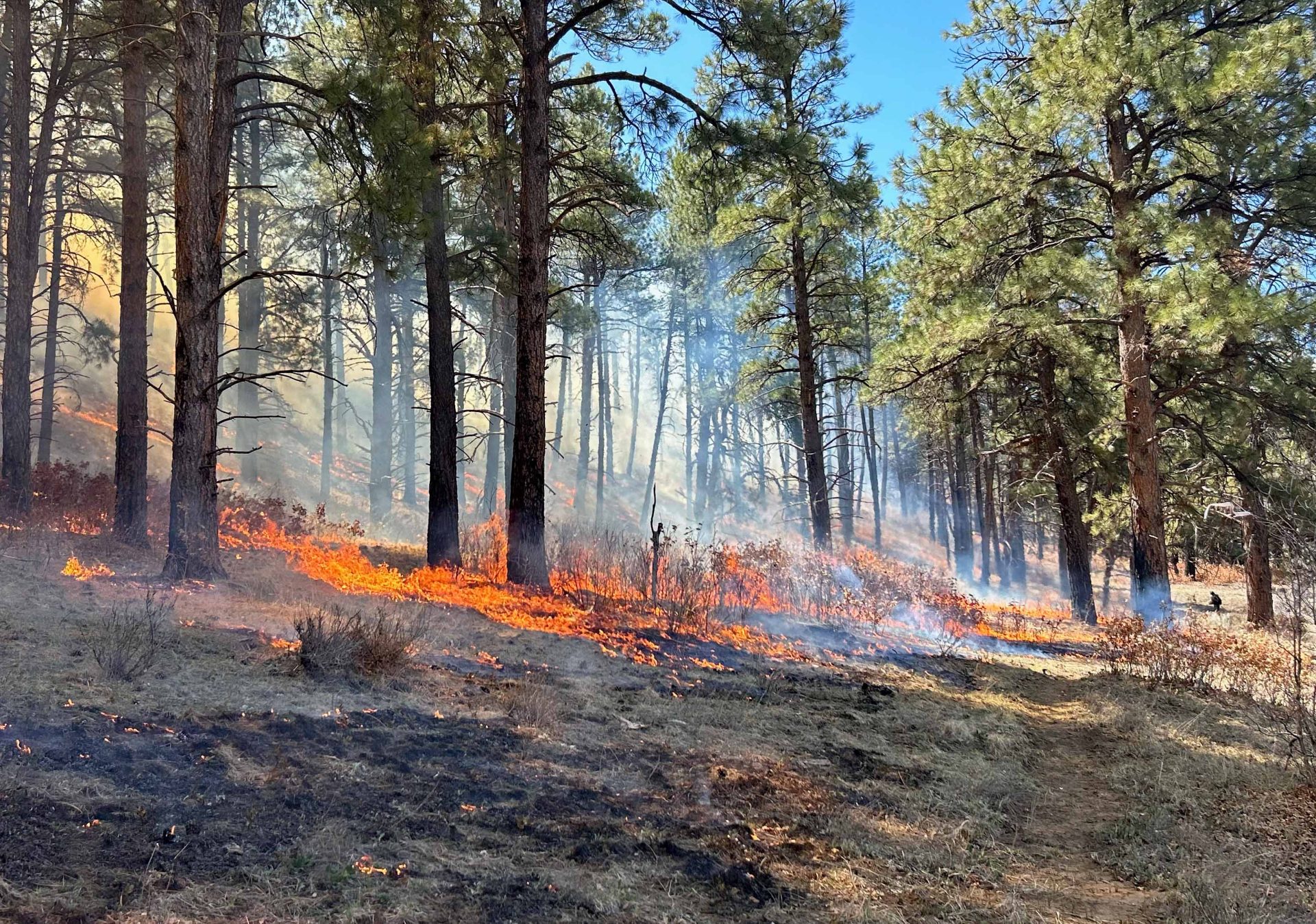
I spent the morning with the Columbine District NFS fire crews on the Sauls Creek prescribed burn in Bayfield. What I learned this morning will help us to provide better fire weather training to both the Columbine & Pagosa District in the next month. I’ll have more details on these critical operations in the May newsletter. – Picture courtesy & with permission from the Columbine Ranger District; San Juan NFS. (Click on title of post to see picture)
Wednesday – 24 Apr 2024 – 7:00pm
The past…
At Stevens Field the high temperature this afternoon was 69 and the low this morning was 36.
The peak wind at the airfield today was 25mph.
| Average High | Record High / Year | Average Low | Record Low / Year |
| 62 | 76/ 1987 | 26 | 9 / 1913 |
Precipitation summary… There has been no recent measurable precip.
Forecast discussion…

Player number one is the area of low pressure situated just off the coast of southern California. An associated warm front with upper level clouds is pushing north. Player number two is just an open wave situated off the coast of British Columbia. Both systems will impact us this weekend.

Radar for all of the southwest this afternoon.
Moisture is spilling into the Great Basin area ahead of the area of low pressure. A combination of frontal lifting and warm surface temperatures is firing up intense showers and thunderstorms.
Forecast highlights…
*** A few spotty showers and gusty winds Thursday afternoon ***
*** Slight chance of thunderstorms Thursday and Friday Afternoon***
*** Chance for precip & a little snow this weekend. ***
*** Wolf Creek Pass could be slick Thursday night to Sunday afternoon. ***
Rest of Wednesday… Upper level clouds are moving into the area ahead of a warm front. Dry air will move in overnight resulting in Partly Cloudy skies but warm air will keep overnight low temperatures warmer.
There is some smoke in the area from the Sauls Creek prescribed burns in Bayfield. Today, was the last of the prescribed burns for this week.
Thursday… A fast-moving system start to push through the area from the southwest. It will have decent storm energy but will lack deep moisture. The day will start out Partly Cloudy and then become Mostly Cloudy in the afternoon with a few scattered showers, mostly over the mountains. There is a slight chance for a thunderstorm or two.
The snow level will start around 9,000ft and will drop to around 8,500ft by midnight. The few spotty snowflakes that fall in the valley won’t accumulate. Lucky spots in the mountains will get up to 2” of snow. Wolf Creek Pass could see a few slick spots Thursday night.
Winds… Winds will get gusty in the afternoon as the system nears. Afternoon gusts will be 20-30mph. Our mountains will see gusts in the 35-45mph range.

Temps… Lows in the morning will be in the upper 30s. Thursday highs will be in the mid-50s to mid-60s.
Friday, Saturday, and Sunday… The weekend will be Mostly Cloudy to Cloudy till Sunday evening. An open wave will move through early Friday morning followed by an area of low pressure that will form to our west late Friday and finally move out of our area Sunday afternoon. The best chance for precip is from Friday evening to Saturday afternoon.
There is a slight chance for a thunderstorm or two Friday afternoon into the evening.
Snow levels will start around 8,500ft but will drop to 8,000ft early Saturday morning. Temps will be just above freezing so snow will hardly stick in most valley areas. *** Wolf Creek Pass could be slick Friday night to Sunday morning. ***
Snow amounts…
Valley below 8,000ft: A few “rainflakes” – no snow accumulation.
Valley above 8,000ft: Up to 1” on cold surfaces
Mountains: 5-10”


Winds… Afternoon gusts will be around 25mph Friday and 20mph on Saturday and Sunday.
Temps… Lows in the morning will be in the low 30s. Friday highs will be in the low-50s to upper-50s. Saturday will be the chilliest with Highs in the mid-40s to low 50s. With a bit more sun, Highs on Sunday will be in the lo-50s to upper 50s.
I’ll have my next post out tomorrow afternoon.
– Arleen


