
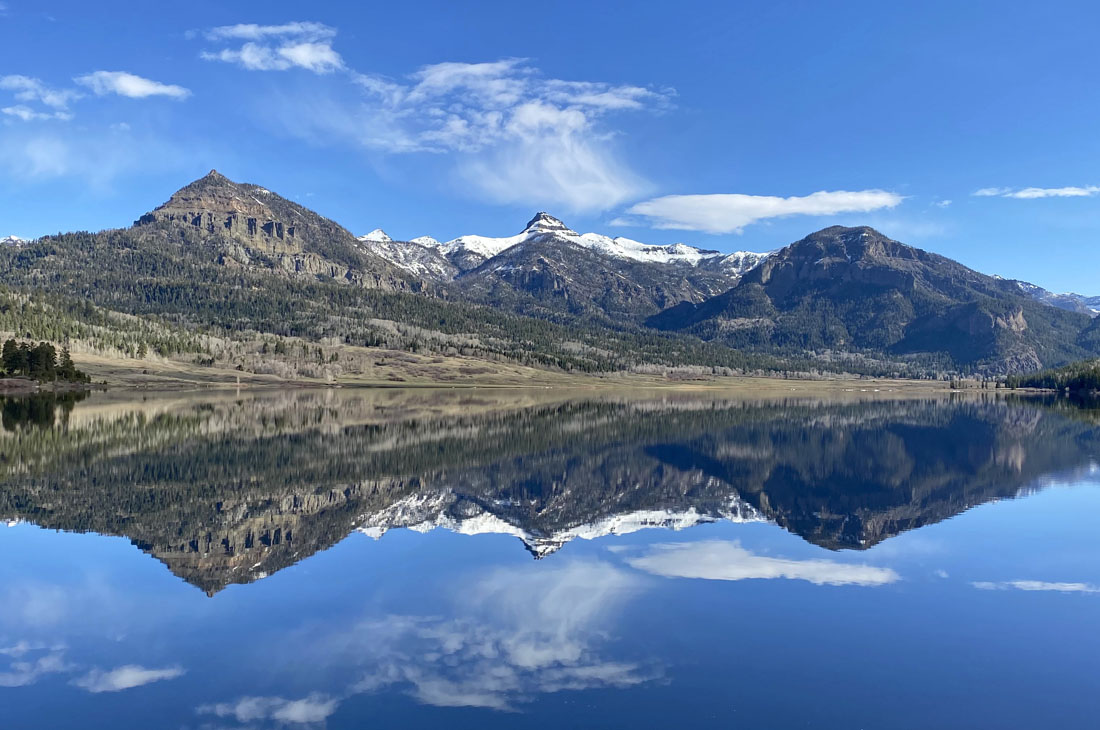
What a fantastic way to start the day! – Pic taken 4/19/2024
If images fail to load in the email, please click the title of the post. Thanks!
Monday – 22 Apr 2024 – 11:30am
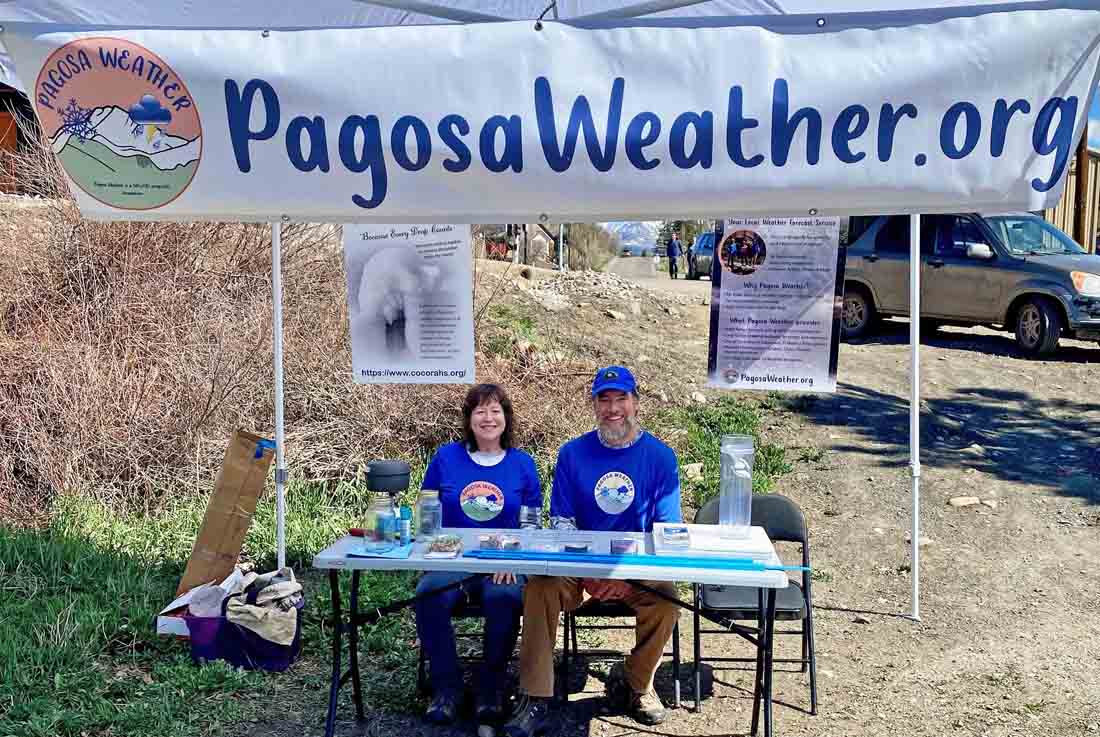
Arleen explained how clouds form and did the “cloud in a jar” demonstration for quite a few kids. Those youngsters are sharp – maybe future meteorologists?!
The past…
At Stevens Field the high temperature yesterday afternoon was 67 and the low this morning was 29.
The peak wind at the airfield yesterday was 20mph.
| Average High | Record High / Year | Average Low | Record Low / Year |
| 61 | 76/ 1989 | 25 | 8 / 1967 |
Precipitation summary… There has been no recent measurable precip.
Forecast discussion…

There is nothing on radar in our area this morning.
Forecast highlights…
*** A few spotty showers and gusty winds Thursday afternoon ***
*** Chance for a little snow this weekend. ***
Rest of Monday through Wednesday… Ridging will build back over the region and give us lots of sun, very pleasant temps, and breezy afternoons.
Winds… Monday, Tuesday, and Wednesday afternoon gusts will be around 25mph.
Temps… Monday, Tuesday, and Wednesday highs will be in the mid-60s to mid-70s and lows will be 30 to 40.
Thursday… A fast-moving system will push through the area from the southwest. It will have decent storm energy but will lack moisture. Clouds will increase in the afternoon and a few scattered showers will develop, mostly over the mountains. Winds will get gusty in the afternoon as the system nears.
The snow level will start above 9,000ft and will drop to around 8,500ft by midnight. The few spotty snowflakes that fall in the valley won’t accumulate. Lucky spots in the mountains will get up to 1” of snow. Wolf Creek Pass could be slick Thursday night.
Winds… Afternoon gusts will be 25-35mph. Our mountains will see gusts in the 45-55mph range.
Temps… Thursday highs will be in the high 50s to mid-60s and lows will be in the high 20s to mid-30s.

Friday, Saturday, and Sunday… A low-pressure system will move through. This system has decent storm energy and moisture, so I expect us to get some precip. Hit and miss showers are possible Friday and Sunday afternoons. The best chance for precip is Saturday.
Snow levels will start above 9,000ft but could drop to 8,000ft Saturday night. Temps will be above freezing so snow will hardly stick. *** Wolf Creek Pass could be slick Friday night to Sunday morning. ***
Snow amounts…
Valley below 8,000ft: A few “rainflakes” – no snow accumulation
Valley above 8,000ft: Up to 1” on cold surfaces
Mountains: 3-7”
Winds… Afternoon gusts will be around 25mph each day.
Temps… Highs Friday will be in the mid-50s to mid-60s and lows will be 30 to 40. Highs Saturday highs will be in the low to high 50s and lows will be in the high 20s to mid-30s. Highs Sunday will be in the mid-50s to low 60s and lows will be in the high 20s to mid-30s.

Arleen will do the next post on Wednesday.
– Shawn


