
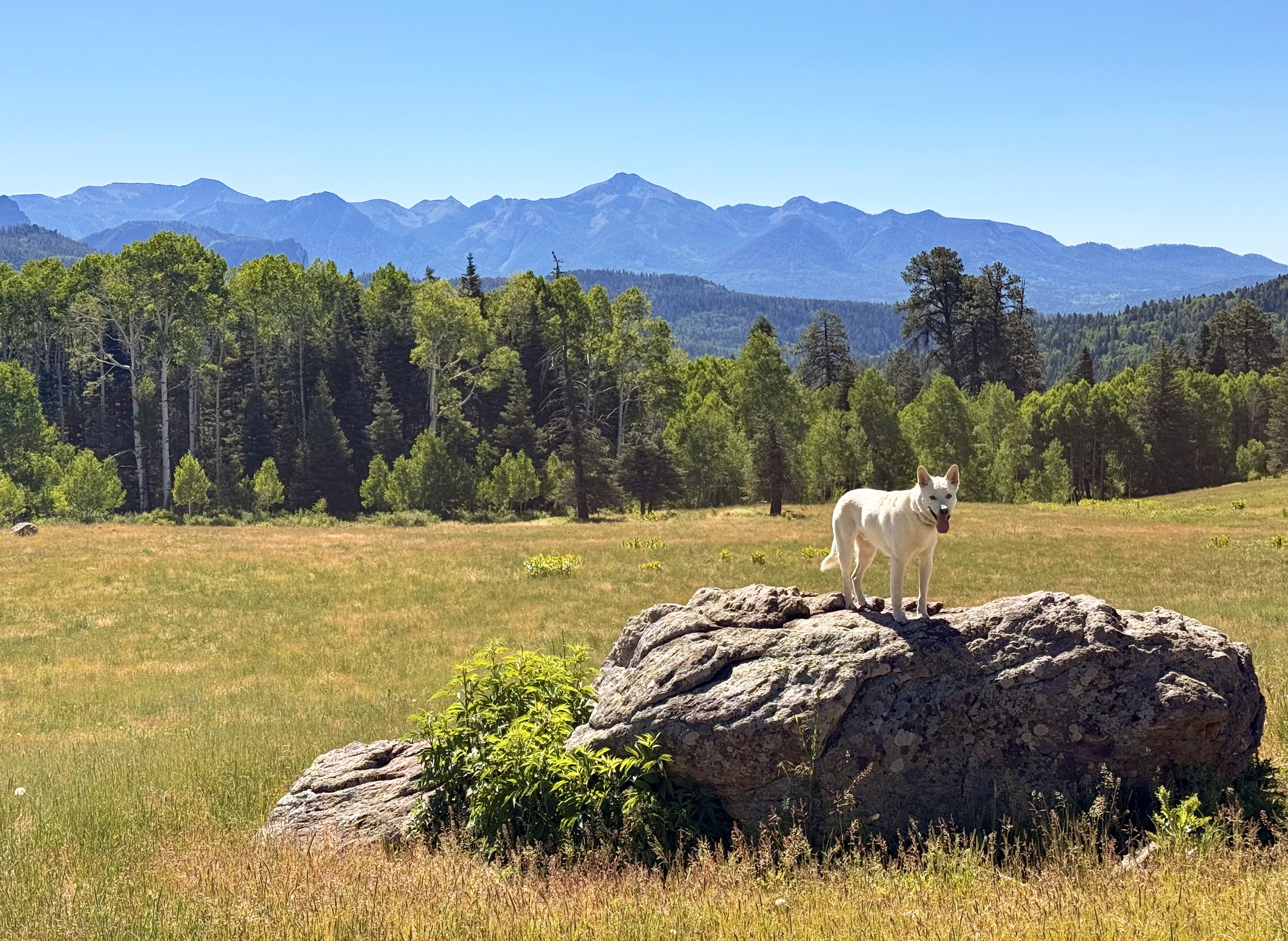
One of Our Favorite Parks! Thinking of Susan… – pic taken 6/21/2026
Monday – 22 Jun 2026 – 5:00pm
Chance of Showers Wednesday, Thursday, Friday…
The past…
Stevens Field Observations
Saturday: High: 82, Low: 52, Peak wind: 33mph, Afternoon humidity: 7-18%
Sunday: High: 84, Low: 38, Peak wind: 28mph, Afternoon humidity: 6-10%
Monday: High: 82, Low: 42, Peak wind: 29mph, Afternoon humidity: 5-8%
| Average High | Record High / Year | Average Low | Record Low / Year |
| 81 | 93 / 1954 | 37 | 23 / 1951 |
Precipitation summary… There has been no recent measurable precip.
Current satellite and radar…
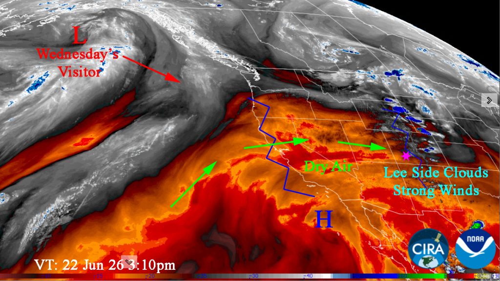
There is nothing on radar in our area Saturday afternoon.
Forecast highlights…
*** RED FLAG WARNING Monday (today) till 8pm, Tuesday Noon to 10pm. ***
*** Monday & Tuesday: Gusty afternoons, dry, and warm. FIRE DANGER WILL BE HIGH. ***
*** Wednesday, Thursday, and Friday afternoons: chance for showers and thunderstorms. Low rain amounts. Potential for lightning fires. ***
Saturday & Sunday: Very Strong afternoon gusts! Gusts to 60mph in the high country on Saturday!
Monday and Tuesday … We’ll be clear to partly cloudy. High pressure will be to our south and low pressure will be to our north. Upper-level flow will be out of the west and keep us dry. It will remain sunny, dry, and warm with gusty afternoon winds.
Temps… Highs will be in the Lo 80s to the upper 80s and lows will be near 40 to the upper 40s.
Winds… Afternoon gusts will be 25-30mph.
Wednesday afternoon through Friday evening… An area of low pressure currently in the Gulf of Alaska will sink into the southwest setting up southwest flow in our area ahead of a few upper level disturbances. We’ll be Partly Cloudy becoming Mostly Cloudy each afternoon. A little moisture and instability will kick up a few scattered showers and thunderstorms each afternoon. Precip amounts will be low and spotty. Some areas will only see Virga which combined with dry air at the surface will result in erratic gusty winds at the surface.
*** Fire danger will remain high and lightning fires are possible. ***
Temps… Wednesday High: Highs will be in the Lo 80s to the upper 80s. Thursday & Friday: Cooler. Lo 70s to the Lo 80s. Lows: Lo 40s to upper 40s.
Winds…Afternoon gusts will be 25-30mph. Expect erratic higher potential gusts near thunderstorms.
Saturday & Sunday… As the area low-pressure system exits into Montana and then Canada, it will bring us a tightening gradient and strong, dry flow out of the southwest. Clear to Partly Cloudy. Humidity in the low to mid teens and wind gusting 40-45mph will lead to CRITICAL FIRE CONDITIONS.
Temps… Highs: Mid 70s to Mid-80s. Lows: Low 40s to upper 40s.
Winds… Very Strong afternoon gusts! Winds on Saturday afternoon could gust to 45mph! Winds on Sunday could gust to 40mph. Note: Gusts to 60mph in the high country on Saturday and 50mph on Sunday.

The Euro model is more optimistic with 0.30” of rain for Pagosa. GO Euro!
29 Jun to 7 Jul… The subtropical high will slowly shift towards the Four Corners. We’ll be dry till around 2 July and then see a slow increase of moisture and instability as the monsoon tries to set up.

Our next post will be on Wednesday.
– Arleen


