
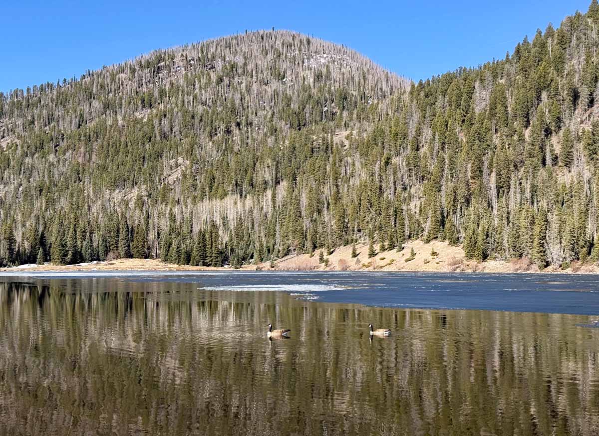
A pair of geese kept me company at the lake – pic was taken 3/27/2026
Friday – 27 Mar 2026 – 7:15pm
The past…
Stevens Field Observations
Wednesday: High: 78*, Low: 35, Peak wind: 21mph
Thursday: High: 72*, Low: 35, Peak wind: 28mph
* New record highs. *
| Average High | Record High / Year | Average Low | Record Low / Year |
| 51 | 69 / 1988 | 18 | -8 / 1913 |
Precipitation summary… There has been no recent measurable precip.
Current satellite and radar…

The “hell high” has moved a little east and is still the main influence on our weather. The high will continue to shift east through the weekend.
There is nothing on radar in our area Friday evening.
Forecast highlights…
*** It will be dry through Sunday. **
*** Sauls Creek Prescribed fire this weekend east of Bayfield and south of Highway 160. Smoke will be visible in the Pagosa Springs area. Smoke will likely move through northwestern Archuleta County and towards Williams Creek Reservoir. ***
*** Good chance for valley rain and mountain snow Tuesday night into early Thursday morning. ***
Forecast details…
Saturday and Sunday… The “hell high” will slowly weaken and move east through the weekend. We’ll see more clouds, but it should stay dry. Temps will still be around 15 degrees above average.
Monday through next Thursday… Finally the pattern will flip… the ridge will be to our east and the trough the will be to our west. This means a more active pattern for us!
The first wave of energy and moisture could move through Monday afternoon and kick up scattered showers. Precip amounts will be light.
Our best chance for valley rain and mountain snow is Tuesday night into early Thursday morning ahead of the main trough. Scattered showers could persist through Thursday morning and then it will clear out Thursday afternoon.
Snow levels…
Monday afternoon around 11,000ft
Tuesday morning 9,500ft to 10,000ft
Wednesday morning around 9,000ft
Wednesday night through Thursday morning 8,500ft to 9,000ft
Precip amounts…
Mountains above 9,500ft: 8-12” of snow
Pagosa Springs area: 0.40” to 0.60” of rain
Temps…
Friday night lows will be in the mid 20s to the mid 30s.
Saturday and Sunday highs will be in the mid 60s to low 70s and lows will be in the high 20s to high 30s.
Monday highs will be in the low to high 60s and lows will be near 30 to the high 30s.
Tuesday highs will be in the mid 50s to the low 60s and lows will be near 30 to the high 30s.
Wednesday highs will be in the mid 40s to the low 50s and lows will be in the mid 20s to the low 30s.
Thursday and next Friday highs will be in the low to high 50s and lows will be in the mid 20s to the low 30s.
Winds…
Saturday and Sunday, each afternoon gusts will be 20-25mph in the Pagosa Springs area and 30-35mph in the high country.
Monday and Tuesday, each afternoon gusts will be around 30mph in the Pagosa Springs area and 40-45mph in the high country.
Wednesday, Thursday and next Friday, each afternoon gusts will be around 25mph in the Pagosa Springs area and 35-40mph in the high country.

In the last two days precip amounts trended up and then down.
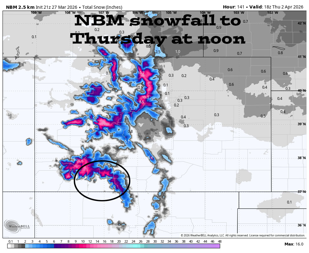
In the last two days snow amounts trended up and then down.
3 Apr to 11 Apr… After the Tuesday through Thursday storm, the weather pattern can’t make up its mind. It’s disorganized with limited storm energy and moisture. I just see chances for light precip.


This model expects it to stay dry through most of Monday. There’s a chance for light precip Monday evening through Tuesday evening and then our best chance for precip is Tuesday night into Thursday morning. Then the weather pattern is disorganized through the rest of the period.

The next post will be on Sunday.
– Shawn


