
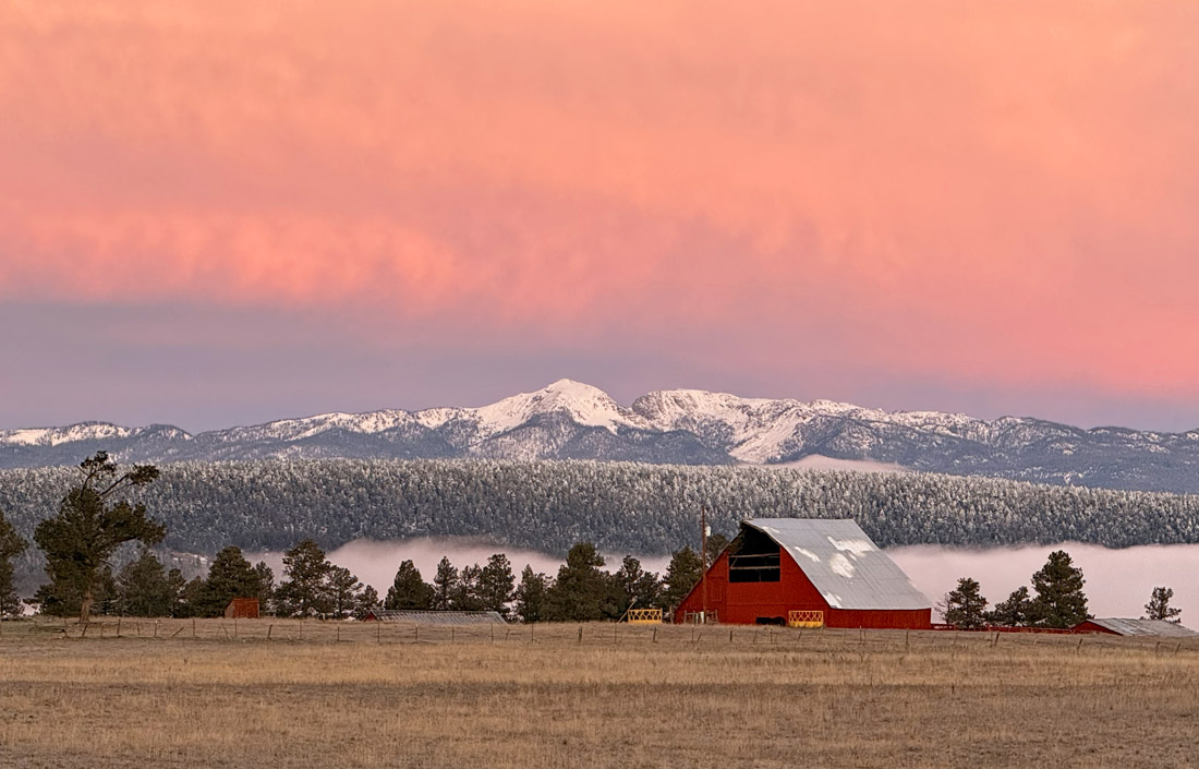
It’s a real treat to wake up to views like this! – Photo taken 11/25/2025
Wednesday – 26 Nov 2025 – 1:15pm
The past…
Stevens Field Observations
Monday: High: 40, Low: 32, Peak Wind: 6mph
Tuesday: High: 46, Low: 23, Peak Wind: 6mph
| Average High | Record High / Year | Average Low | Record Low / Year |
| 44 | 64 / 1943 | 13 | -20 / 1952 |
Precipitation summary… There has been no recent measurable precip.
Current satellite and radar…

There is nothing on radar in our area Wednesday afternoon.
Forecast highlights…
*** The rest of Wednesday through most of Saturday will be dry. ***
*** The Sunday and Monday storm is trying to go POOF. ***
*** Tuesday will be dry. ***
*** Active pattern the rest of next week with chances for light snow. ***
Forecast details…
Rest of Wednesday through Saturday evening… Ridging will give us mostly sunny skies for most of this period.
Friday night and Saturday a weak trough will move through northern Colorado. We’ll see a few more clouds and there could be dusting of snow along The Divide.
Early Sunday morning through Monday morning… This system will take a less favorable route than I was expecting a few days ago. Now it wants to move quickly through from the northwest. *** I’m not giving up on it yet, but it’s trying to be a dud – booo hisss. ***
Timing… The first scattered snow showers will start over the mountains early Sunday morning and then over the valley late Sunday morning. The best chance for snow is Sunday afternoon into early Monday morning. Hit and miss snow showers will persist through Monday morning, mostly over the mountains.
Snow forecast…
Mountains: 5-10”
Pagosa area: 1-3”
Temps…
Wednesday night lows will be in the low teens to low 20s.
Thursday and Friday highs will be in the high 40s to mid-50s and lows will be in the mid-teens to mid-20s.
Saturday highs will be in the low 40s to near 50 and lows will be in the mid-teens to mid-20s.
Sunday, Monday, and Tuesday highs will be in the mid-30s to low 40s and lows will be in the low teens to low 20s.
Next Wednesday highs will be in the high 30s to mid-40s and lows will be in the low to high teens.
Winds…
Thursday afternoon peak winds will be around 10mph.
Friday, Saturday, and Sunday afternoon winds will gust 15-20mph.
Monday, Tuesday, and next Wednesday afternoon gusts will be 10-15mph.

The trend over the last two days is for much less snow.
The 8-14 day period… Upper level flow wants to shift to a more La Nina-like pattern. The storm track over our region will be more out of the northwest which means northern CO is favored and we get scraps.

I don’t trust any of these models right now.

Snow amounts have been trending down over the last two days.
The next post will be on Friday. Have a nice Thanksgiving!
– Shawn


