

Clear, moonless night on Lake Forest, Monday night! Huge thanks to Dena Laterza for this picture! Her star gazer group will have two BYOBinoculars Star Parties this Saturday and Sunday nights. 8pm@Yamaguchi Park (near the Pickleball courts)
Thursday – 18 Sep 2025 – 4:00pm
The past…
Stevens Field Observations
Tuesday: High: 74, Low: 42, Minimum relative humidity: 17%, Peak Wind: 28mph
Wednesday: High: 74, Low: 38, Minimum relative humidity: 13%, Peak Wind: 26mph
| Average High | Record High / Year | Average Low | Record Low / Year |
| 73 | 86 / 1956 | 36 | 9 / 1993 |
Precipitation summary… There has been no recent measurable precip.
Prescribed fire in Turkey Springs…

Forecast discussion…
There is nothing on radar in our area Thursday afternoon.
Forecast highlights…
*** Friday and Saturday hit and miss showers and thunderstorms are possible each afternoon. Precip amounts will be low. ***
*** Sunday through next Thursday we’ll have lots of blue sky, scattered afternoon cumulus clouds, maybe a weak afternoon shower over the mountains, and pleasant temps. ***
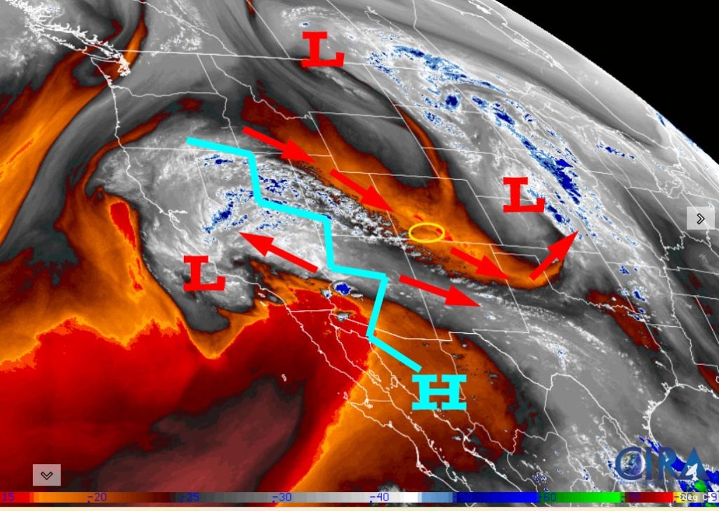
Rest of Thursday… A ridge is giving us great weather today.
Friday and Saturday… A weak through will move through the region. We’ll see more clouds and a few spotty afternoon showers and thunderstorms. Precip amounts will be low.
Sunday through next Thursday… A blocking ridge will push upper-level winds out of the northwest with dry air across our region. We’ll have lots of blue sky, scattered afternoon cumulus clouds, maybe a weak afternoon shower over the mountains, and pleasant temps.
Temps…
Highs will be near 70 to the high 70s and lows will be in the mid-30s to mid-40s. Cold spots will flirt with freezing temps.
What is a “cold spot”? Cold spots are in low-lying areas where the coldest air sinks to. These areas can be 5 degrees colder than the slightly higher spots nearby. If your low temp is often just below my forecast low temperature range, then you live in a cold spot. *** To be safe, consider covering your sensitive plants. ***
Winds… Gusts each afternoon will mostly be around 20mph. As always, stronger isolated gusts are likely near a shower or thunderstorm.
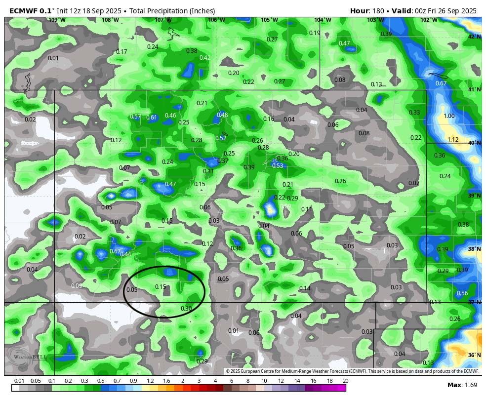
The 8-14 day period… The models continue to flip-flop widely for the 8-14 day period. We’re in the battleground between low pressure systems skirting to our north and the subtropical ridge trying to hang on to our south. It’s a typical transition season weather pattern. Stay tuned!

Unless something interesting pops up, the next post will be on Saturday.
– Shawn


