

A nice stroll along the river – pic taken 5/13/2025
Tuesday – 13 May 2025 – 4:15pm
The past…
At Stevens Field the high temperature on Sunday was 70, and on Monday it was 72. The low this morning was 39. The cold spots dipped to near 30.
The peak wind at Stevens Field on Sunday was 23mph and on Monday it was 28mph.
| Average High | Record High / Year | Average Low | Record Low / Year |
| 67 | 83 / 1996 | 30 | 12 / 1967 |
Precipitation summary… There has been no recent measurable precip.
Forecast discussion…
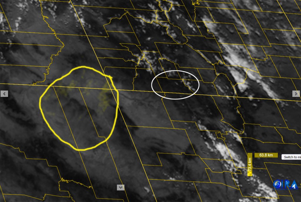
There is nothing on radar in our area Tuesday afternoon.
Forecast highlights…
*** A FREEZE WATCH is in effect from late Wednesday night into Thursday morning for temps into the mid-20s. ***
*** Wednesday afternoon gusty winds and low humidity will increase fire danger. ***
*** A little rain is possible Sunday, Monday, and Tuesday afternoons. ***
Rest of Tuesday through Saturday… The ridge is to our east and low-pressure systems are skirting well to our north. There is a slight chance for an isolated mountain shower Wednesday afternoon, but I expect the Pagosa area to stay dry. Winds will be gusty each afternoon.
Temps…
Tuesday night lows will be in the high 20s to high 30s.
Wednesday highs will be in the mid-50s to low 60s and lows will be in the low 20s to low 30s.
Thursday highs will be in the high 50s to mid-60s and lows will be in the mid-20s to mid-30s.
Friday and Saturday highs will be in the mid-60s to low 70s and lows will be in the high 20s to high 30s.
Winds… Afternoon gusts will be 25-30mph.Wednesday the windy places will have gusts around 35mph.

Sunday, Monday, and Tuesday… A low-pressure system will move through. Storm energy, instability, and moisture will increase leading to hit and miss showers and thunderstorms, mostly in the afternoons.
The forecast models are all over the place with rain amounts varying from hardly anything to around 1”. I think we’ll get around 0.10” of rain in the Pagosa area and 2-4” of snow in our mountains above 9,500ft.
Temps… Sunday and Tuesday highs will be in the mid-50s to low 60s and lows will be in mid-20s to mid-30s. Monday highs will be near 50 to the mid-50s and lows will be in the low 20s to low 30s.
Winds… Sunday afternoon gusts will be 30-35mph. Monday and Tuesday afternoons gusts will be around 25-30mph.

The 8-14 day period… The weather pattern will get less active with just a slight chance for spotty afternoon showers and thunderstorms.

The next post will be on Thursday.
– Shawn


