
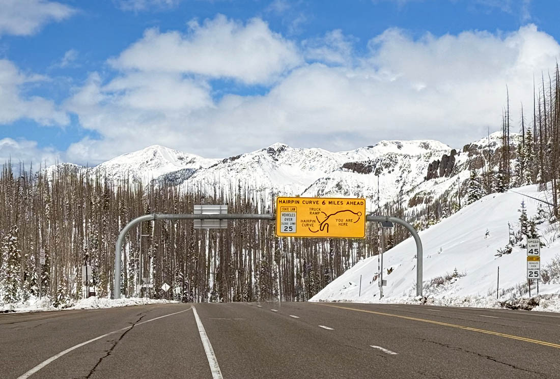
Beautiful drive over Wolf Creek Pass – pic taken 5/5/2025
Friday – 9 May 2025 – 2:30pm
The past…
At Stevens Field the high temperature on Wednesday was 55, and on Thursday it was 59. The low this morning was 32. The cold spots dipped into the mid-20s.
The peak wind at Stevens Field on Wednesday was 13mph and on Thursday it was 18mph.
| Average High | Record High / Year | Average Low | Record Low / Year |
| 66 | 82 / 1989 | 28 | 15 / 1930 |
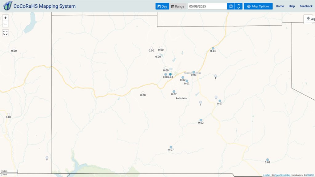
Precipitation summary… There were a few spotty showers yesterday.
Forecast discussion…
Forecast highlights…
*** Scattered afternoon showers and thunderstorms through the weekend. ***
*** Gusty afternoon winds are back next week. ***
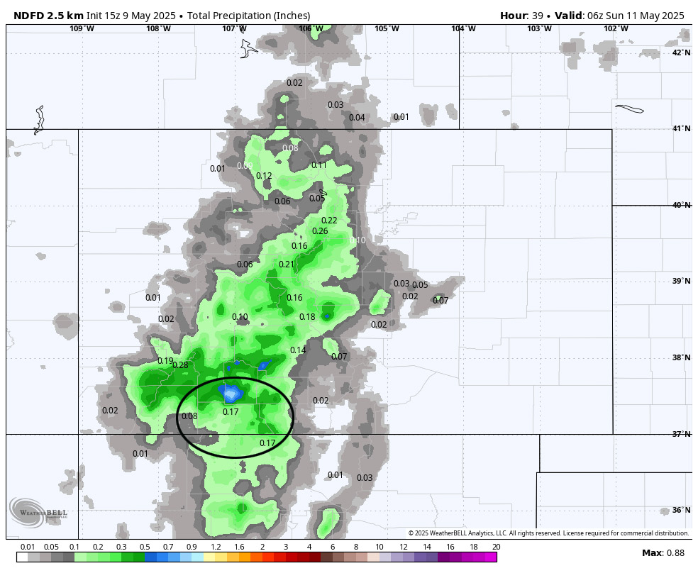
Rest of Friday through Sunday… A weak ridge will slowly move over the region. There will be less moisture, and we’ll remain marginally unstable.
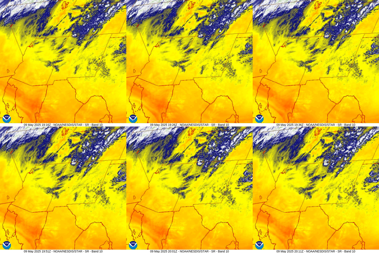
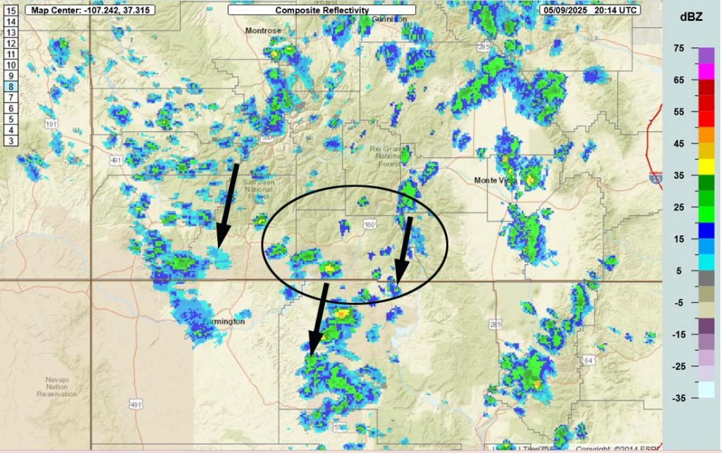
Scattered afternoon showers and thunderstorms will move from north to south Friday afternoon and then be “slow-movers” Saturday afternoon.
Sunday afternoon will be less active with just a slight chance for a spotty afternoon shower or thunderstorm.
Temps… Friday through Sunday highs will be in the mid-60s to low 70s and lows will be near 30 to the high 30s.
Winds… Afternoon gusts will mostly be 15-20mph, but thunderstorms and strong showers will produce stronger gusts for brief periods.
Monday through Thursday… The ridge will move to our east, upper-level southwest flow with increase, and we’ll dry out. There’s a slight chance for an afternoon shower or thunderstorm, mostly over the mountains. I think most of us will be dry.
Temps… Highs Monday will be in the mid-60s to low 70s and lows will be in the high 20s to mid-30s. Highs Tuesday will be near 60 to the high 60s and lows will be in the mid-20s to mid-30s. Highs Wednesday and Thursday will be in the high 50s to mid-60s and lows will be in the mid-20s to mid-30s.
Winds… Afternoon gusts will be 25-30mph.Tuesday and Wednesday the windy places will have gusts to 35mph.
The 8-14 day period… The weather pattern will get less active with just a slight chance for spotty afternoon showers and thunderstorms. The models hint at a more organized system 19/20 May. Right now it doesn’t look too impressive.

The next post will be on Sunday.
– Shawn


