

Clouds increased quickly this morning – pic taken 3/18/2025
Tuesday – 18 Mar 2025 – 9:15am
The past…
At Stevens Field the high temperature on Sunday was 46 and on Monday it was 52. The low this morning was 32.
The peak wind at Stevens Field on Sunday was 17mph and on Monday it was 7mph.
| Average High | Record High / Year | Average Low | Record Low / Year |
| 50 | 69 / 1907 | 16 | -10 / 1917 |
Precipitation summary… There has been no recent measurable precip.
Forecast discussion…
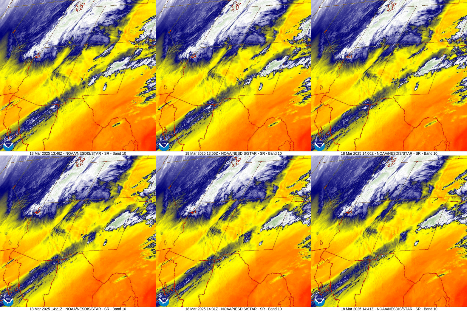
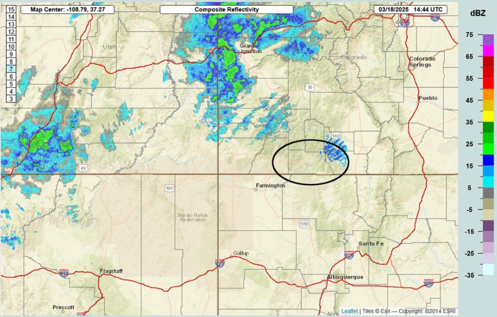
Forecast highlights…
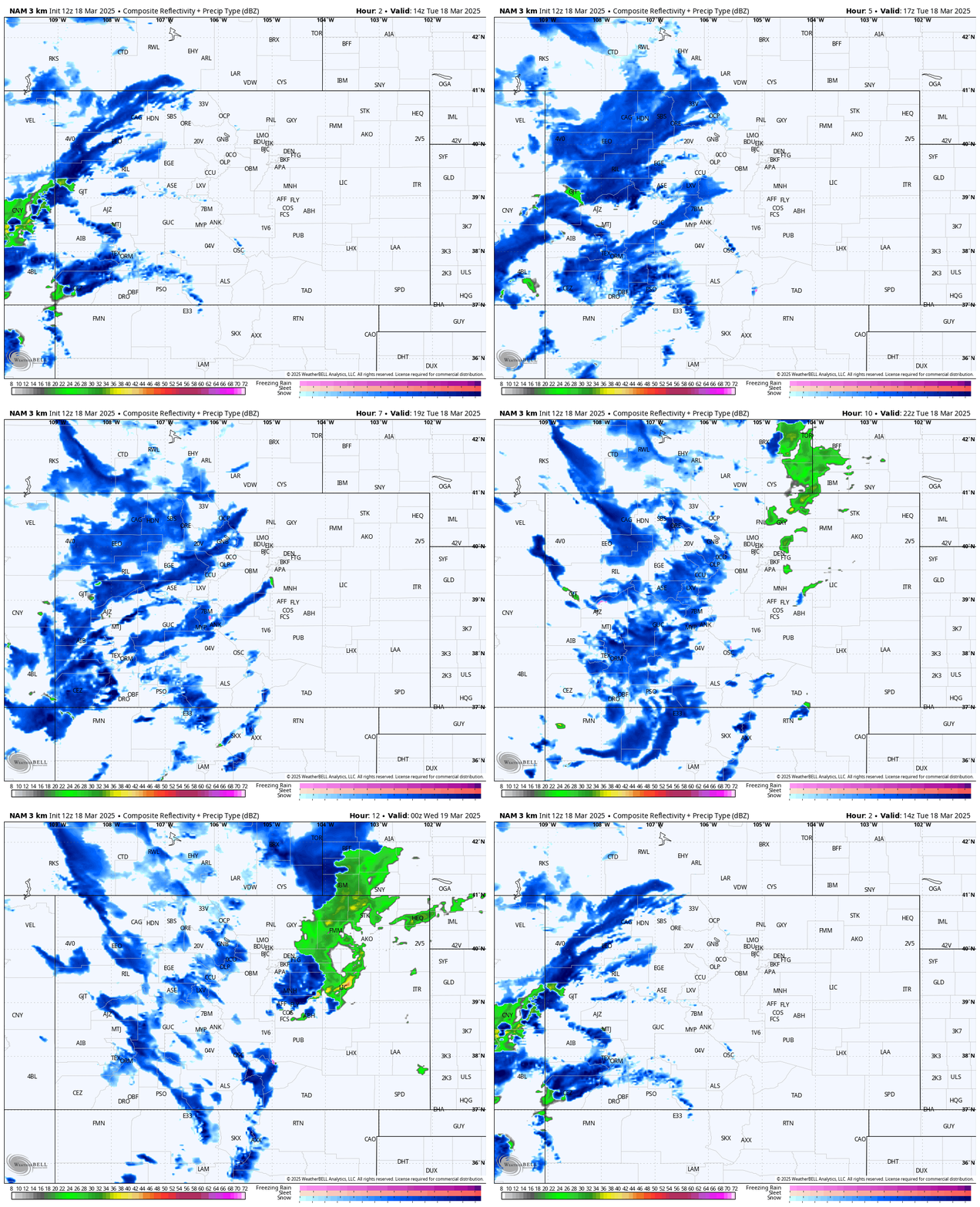
*** Tuesday afternoon expect brief periods of heavy snow, blowing snow, gusty winds, and poor visibility. ***
*** The Grand Junction NWS has issued a WIND ADVISORY for the San Juan River basin – this includes Pagosa Springs. Winds gusting to 45mph are possible 11am to 7pm today. ***
*** The Grand Junction NWS has issued a WINTER WEATHER ADVISORY for the southwest San Juan Mountains. 4-9″ of snow and winds gusting to 50mph are possible until 6am Wednesday. *** This does not include Pagosa Springs.
*** I don’t see any big storms for the rest of the month. ***
Rest of Tuesday… A cold front will move through. Snowshowers will gradually increase over the mountains through the morning. The best chance for snowshowers is during the afternoon.
Gusty winds, brief periods of heavy snow, blowing snow, and poor visibility are possible this afternoon.
Clouds will clear pretty quickly during the evening, and we’ll have a chilly night.
Temps… Tuesday highs will be in the mid-30s to low 40s and lows will be in the mid-single digits to mid-teens.
Winds… *** Tuesday afternoon gusts in the Pagosa area will be 35-45mph and in the mountains gusts to 60mph are possible. ***

Wednesday morning through Monday … For much of this period a ridge will be in control, and we’ll stay dry.
Thursday night and again Saturday night a fast-moving trough will move through northern Colorado. We’ll see a few more clouds and maybe a few spotty snowshowers along The Divide. The troughs will help kick up the winds, especially in the mountains.
Temps…
Wednesday highs will be in the mid-30s to mid-40s and lows will be in the mid-single digits to mid-teens.
Thursday highs will be in the mid-40s to low 50s and lows will be in the low teens to low 20s.
Friday highs will be in the mid-40s to mid-50s and lows will be in the mid-teens to low 20s.
Saturday and Sunday highs will be near 50 to high 50s and lows will be in the high teens to mid-20s.
Monday highs will be in the high 50s to mid-60s and lows will be in the high teens to high 20s.
Winds… Most afternoons gusts will be 15-25mph. Thursday and Saturday afternoons gusts in the Pagosa area will be 25-30mph and in the mountains gusts to 45mph are possible.
The 8-14 day period… The pattern will try to get more active towards the end of the month, but I don’t see any big storms on the horizon.

Keep an eye on Facebook for quick updates, otherwise the next thorough post will be on Thursday.
– Shawn


