
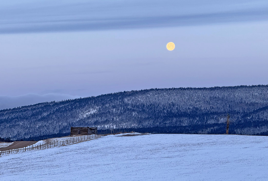
A pretty moonset on a chilly March morning – pic taken 3/15/2025
Sunday – 16 Mar 2025 – 4:30pm
The past…
At Stevens Field the high temperature on Friday was 32 and on Saturday it was 32. The low this morning was 10. The cold spots dipped into the low single digits.
The peak wind at Stevens Field on Friday was 33mph and on Saturday it was 20mph.
| Average High | Record High / Year | Average Low | Record Low / Year |
| 50 | 65 / 1967 | 15 | -13 / 1913 |
Precipitation summary… Scattered snowshowers hit some parts of Archuleta County Saturday afternoon. A few spots reported 0.3” and 0.4” of snow.
Wolf Creek reported 3” of new snow this morning. That’s brings their 3-day total to 30”.


Forecast discussion…

There is nothing on radar in our area Sunday afternoon.
Forecast highlights…
*** Scattered snowshowers and gusty winds on Tuesday. ***
*** I don’t see any big storms for the rest of the month. ***
Sunday evening through Monday afternoon… Sunday night clouds will increase as the ridge to moves to the east.
Monday we’ll see mostly cloudy skies, slightly stronger winds, and warmer temps ahead of the next system.
Temps… Sunday night lows will be mid-teens to mid-20s. Monday highs will be in the high 40s to mid-50s.
Winds… Monday afternoon gusts near Pagosa will be 20-25mph and the mountains could see gusts to 40mph.
Monday night into Tuesday night… The next storm will move through. It has decent storm energy and moisture, but it’s a fast-mover.
Scattered snowshowers will develop over the mountains late Monday evening. The best chance for precip is sunrise to sunset Tuesday. Spotty snowshowers will persist into Tuesday night, mostly over the mountains, but additional snow accumulations will be minimal.
Snow amounts…
Wolf Creek area: 4-7”
Pagosa area: a dusting to 2”
Temps… Monday night lows will be in the mid-20s to low 30s. Tuesday highs will be in the mid-30s to low 40s and lows will be in the high single digits to mid-teens.
Winds… *** Tuesday afternoon gusts in the Pagosa area will be 30-40mph and in the mountains gusts to 55mph are possible. ***

Wednesday morning through Saturday morning … For much of this period a ridge will be in control, and we’ll stay dry.
Thursday night a fast-moving trough will move through northern Colorado. We’ll get a few scraps. Scattered snowshowers could drop up to 1” of snow in the lucky spots in the mountains.
Temps… Wednesday highs will be in the high 30s to the high 40s and lows will be in the high single digits to mid-teens. Thursday highs will be in the mid-40s to low 50s and lows will be in the mid-teens to low 20s. Friday highs will be in the mid-40s to mid-50s and lows will be in the mid-teens to low 20s.
Winds… Afternoon gusts will be 15-25mph.
The 8-14 day period… We’re back in the “scraps” pattern as storms miss us to the north.

The next post will be on Tuesday.
– Shawn


One Response
Would like to set up a recurring monthly donation using personal credit card but cannot find out how, if possible. Currently I have to do it each month and sometime I forget.
Thanks so much for what you guys do. A great community asset.