

Some roads are wet, and some are icy this evening – Jim Smith Realty web cam at 6:30pm Tuesday
Tuesday – 7 Jan 2025 – 8:00pm
The past…
At Stevens Field the high temperature on Monday was 32 and on Tuesday it was 32. The low this morning was 21.
The peak wind at Stevens Field Monday afternoon was 5mph and on Tuesday afternoon it was 7mph.
| Average High | Record High / Year | Average Low | Record Low / Year |
| 35 | 55 / 1956 | -1 | -36 / 1971 |
Precipitation summary… A band of light snow moved through Monday night and then light snow fell on and off during much of Tuesday. Precip is tapering off Tuesday evening. Most of the Pagosa area ended up with less than 1” of snow.
Wolf Creek reported 3” from this storm by Tuesday afternoon and it was still snowing lightly after they closed. They might end up with another inch.
Forecast discussion…
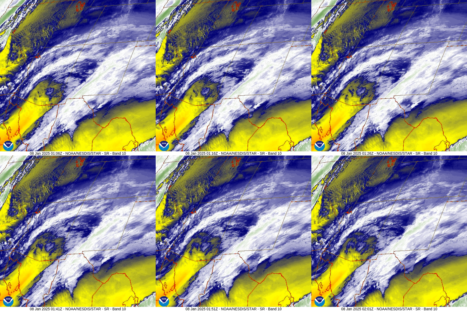
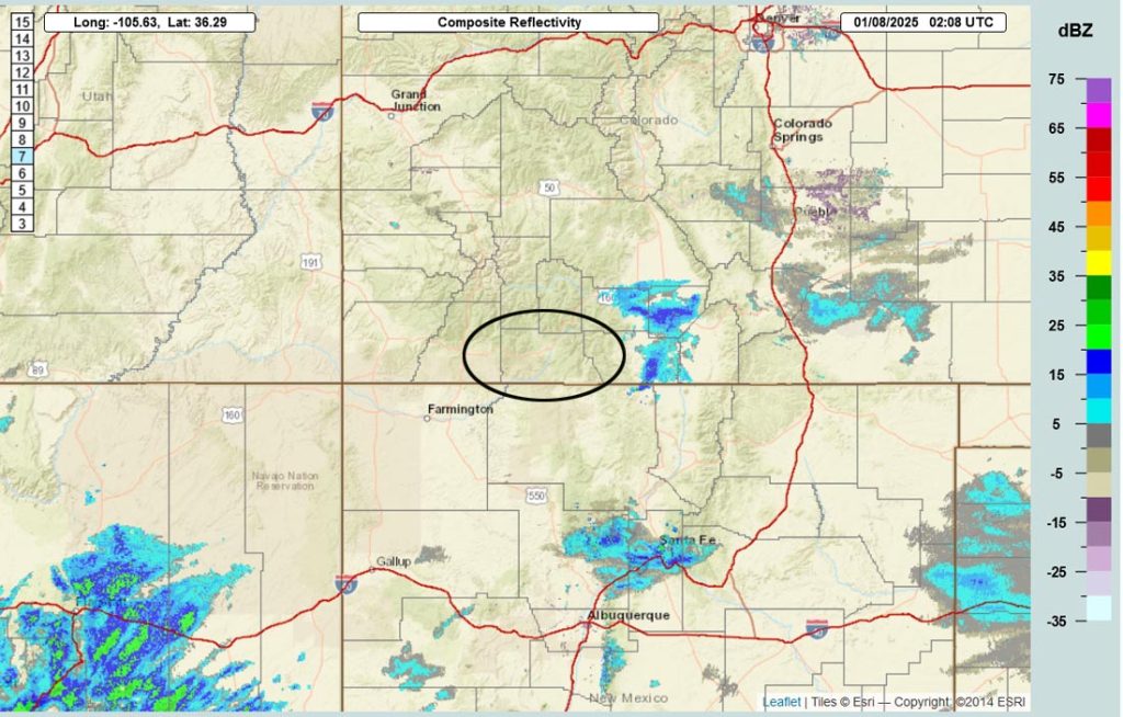
Forecast highlights…
*** Roads could be icy tonight and tomorrow morning.***
*** A few scattered snowflakes possible Thursday, Saturday, and Sunday. ***
Tuesday night through Monday… A strong ridge will build along the coast. Upper-level flow will be out of the north in our area. A weak trough on Thursday and another one over the weekend are possible, but a northerly trajectory means there will be minimal moisture.
Thursday, Saturday, and Sunday there is a chance for scattered snowshowers, mostly over the mountains. In the mountains, the lucky spots could get up to 1” each of these days. Near Pagosa, brief light snowshowers could dust a few lucky spots each day.
Temps… Wednesday highs will be in the mid-30s to low 40s and lows will be in the low single digits to low teens. Thursday highs will be in the low to high 30s and lows will be near zero to the low teens. Friday and Saturday highs will be in the mid-30s to low 40s and lows will be in the low single digits to low teens. Sunday and Monday highs will be in the high 20s to mid-30s and lows will be near zero to the low teens.
Winds… Wednesday afternoon peaks will be around 10mph. Thursday afternoon gusts will be 15-20mph. Friday afternoon peaks will be around 10mph. Saturday, Sunday, and Monday afternoon gusts will be around 15mph.
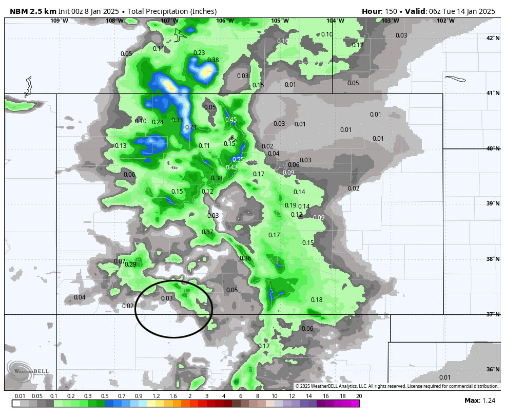
The 8-15 day period… The forecast models are getting more active but remain inconsistent. A decent storm is trying to take shape roughly 19/20 Jan. Come on Mother Nature!

In the upper left the Euro ensemble shows 0.61”.
In the upper right the Euro AI shows 0.41”.
In the bottom left the GFS ensemble shows 0.85”.
In the bottom right the Canadian ensemble shows 0.94”.

My next post will be on Thursday.
– Shawn


