
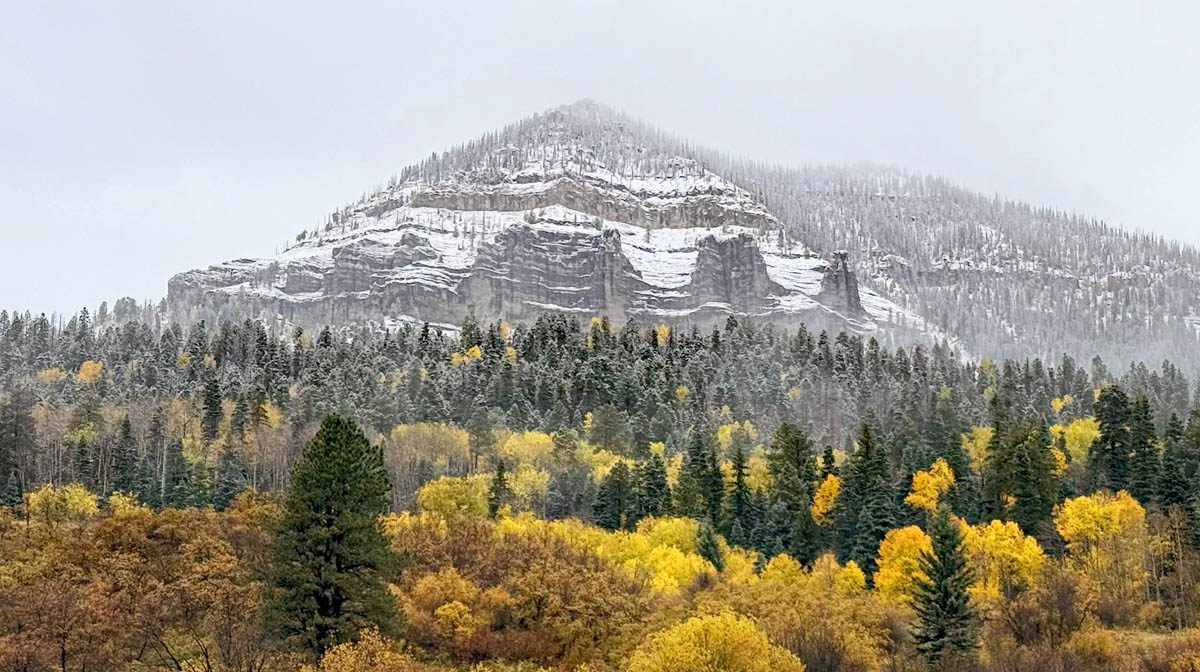
Fall meets winter in Pagosa Country – pic taken 10/19/2024
If images fail to load in the email, please click the title of the post. Thanks!
Saturday – 19 Oct 2024 – 2:00pm
The past…
At Stevens Field the high temperature Friday was 56. The low this morning was 34.
The peak wind at Stevens Field on Friday was 32mph.
| Average High | Record High / Year | Average Low | Record Low / Year |
| 62 | 79 / 1991 | 25 | 10 / 1976 |
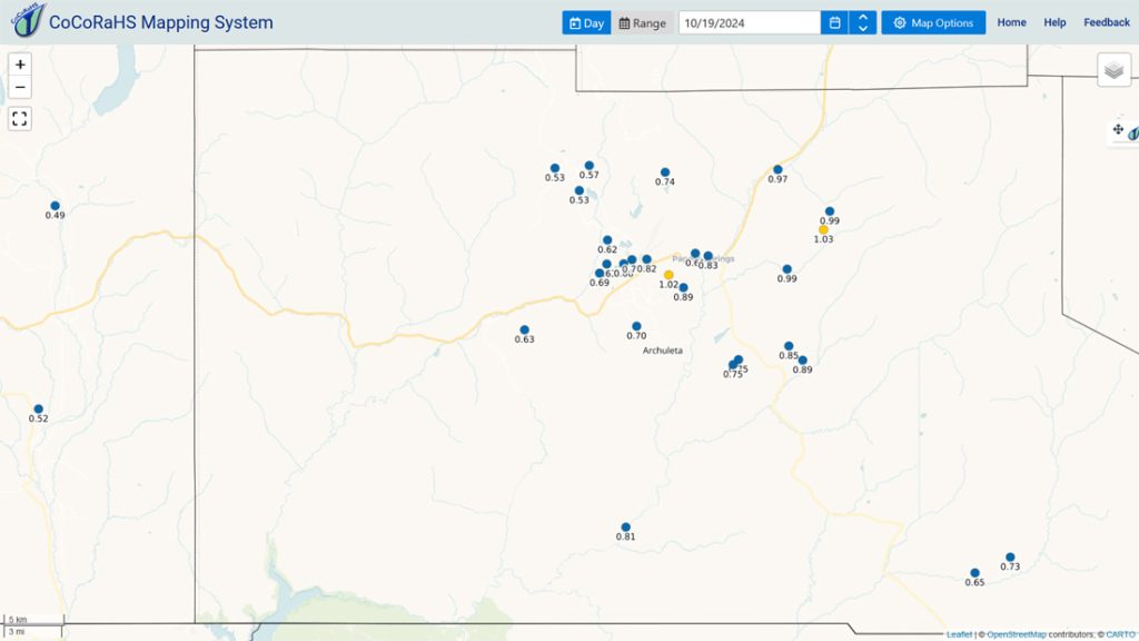
Precipitation summary… Bands of showers continue to move through the area. The snow level was around 10,000ft most of the period but briefly dropped to around 7,700ft this morning. There were quite a few reports of snow in the 0.25” to 0.50” range. I estimate that Wolf Creek got another 4-6” of snow.

Forecast discussion…
Forecast highlights…
*** Bands of showers and thunderstorms will continue to move through into Sunday evening. ***
*** The WINTER STORM WARNING for the eastern San Juan Mountains above 10,000ft continues until noon Sunday. Another 6-12” of snow is likely. ***

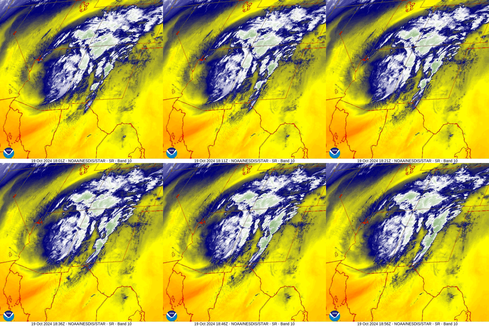
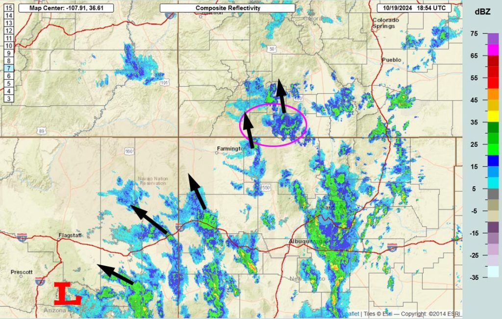
Rest of Saturday into Monday morning… The low pressure is over central AZ and expected to move over our heads Sunday evening. It will continue to push bands of showers and thunderstorms through Pagosa Country.
Precip will be heavy at times. All types of precip are possible: rain, snow, graupel, and small hail.
Sunday evening showers will taper off over the valley, and then over the mountains after midnight.
Monday morning thick fog and poor visibility are possible in low-lying areas.
Snow levels…
Saturday during the day: 10,000-10,500ft
Saturday night: 10,500ft dropping to 9,500ft
Sunday during the day: around 9,500ft
Sunday night: 7,500-8000ft
Additional snow amounts:
Mountains above 10,000ft: 6-12”
Valley above 8,000ft: up to 1”
Valley below 8,000ft: up to a half inch
Winds… Gusts mostly in the 15-20mph range but stronger gusts are likely near showers and thunderstorms.
Temps… Saturday highs will be in the mid-40 to mid-50s and lows will be in the high 20s to low 30s. Sunday highs will be in the low 40s to low 50s and lows will be in the high teens to high 20s.
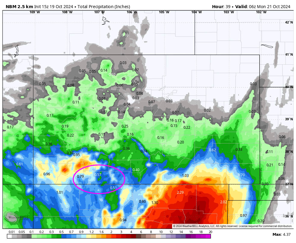
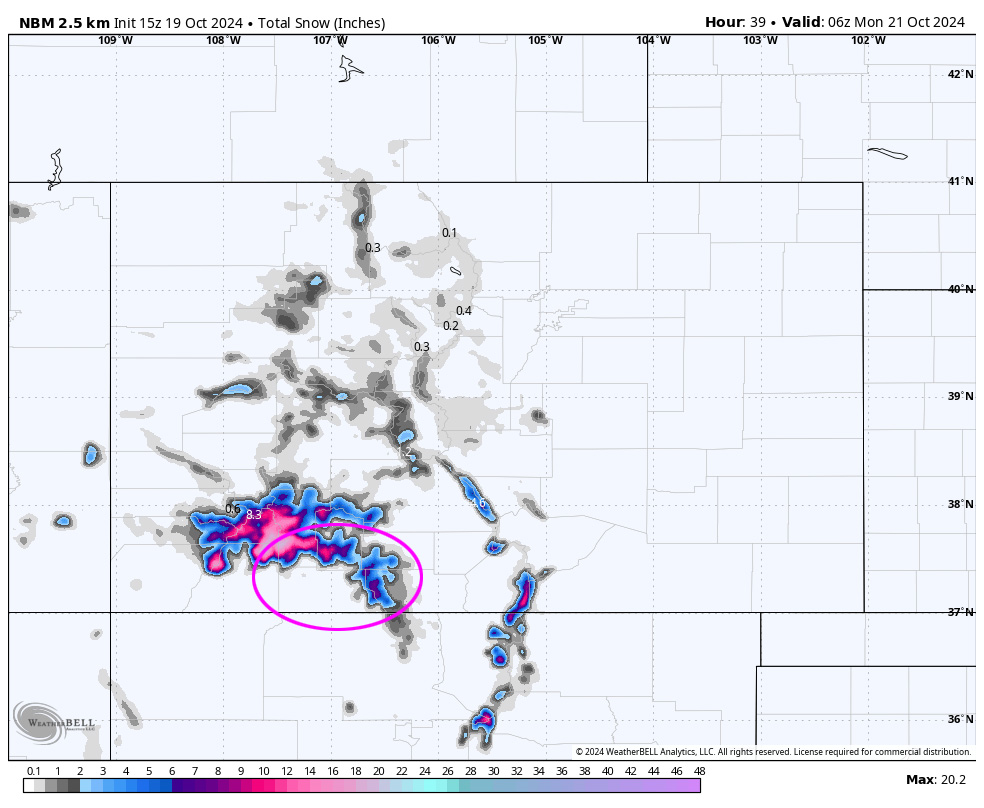
Note the heaviest snow is expected in the higher parts of the mountains to our northwest. I’m concerned that flow will turn more easterly as the low gets closer which would decrease precip in the Pagosa and Wolf Creek areas.
Monday through Friday… Ridging will build back over the region. We’ll have lots of sun, dry weather, and temps will rebound back towards seasonal averages.
Winds… Afternoon peaks will be around 15mph.
Temps… Monday highs will be in the low to high 50s and lows will be in the high teens to high 20s. Tuesday high will be in the high 50s to mid-60s and lows will be in the low 20s to low 30s. Wednesday, Thursday, and Friday highs will be in the low 60s to high 70s and lows will be in the mid-20s to mid-30s.
The 8-14 day period… Ridging will be in control and give us lots of sun, dry weather, and seasonal temps. A frontal system could move through northern Colorado towards the end of the month. We’re on the wrong side of the mountains for that one. I think it will just be a wind-producer for us.
The next forecast post will be on Sunday.
– Shawn


