

Tommy found some fall gold! – pic taken on 10/1/2024
If images fail to load in the email, please click the title of the post. Thanks!
Thursday – 3 Oct 2024 – 9:05am
The past…
At Stevens Field the high temperature Tuesday was 79 and on Wednesday it was 78. The low this morning was 40. The upper Piedra bridge got down to 27 this morning!
The peak wind at Stevens Field on Tuesday was 18mph and on Wednesday it was 18mph.
| Average High | Record High / Year | Average Low | Record Low / Year |
| 68 | 81 / 1946 | 32 | 21 / 1961 |
Precipitation summary… There has been no recent measurable precip.
Forecast discussion…
There is nothing on radar Thursday morning.
Forecast highlights…
*** Cold spots will drop below freezing each night. ***
*** Lots of sun, dry, and above average temps for the next 5-7 days. ***
*** The 8-14 day period will be a little more active with more clouds, a slight chance for a little precip, and temps closer to average. ***
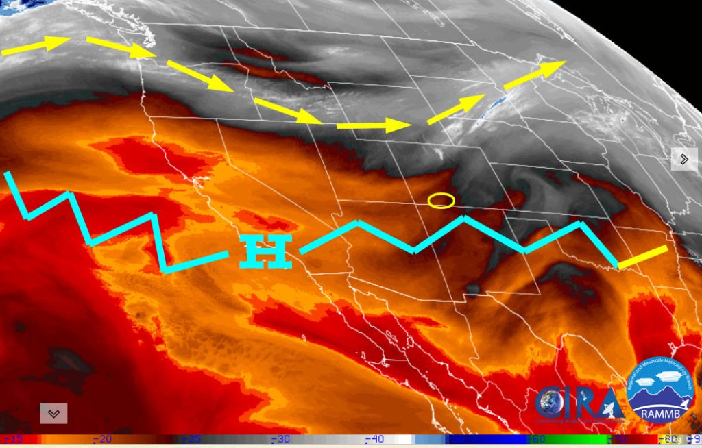
Rest of Thursday through Wednesday… A blocking high pressure across the southwest US will give us lots of sun and temps 5-10 degrees above average.
The middle of next week, the ridge will break down a bit and allow a few more clouds, cooler temps, and a slight chance for a spotty afternoon shower or thunderstorm.
Winds… Afternoon peaks will be 10-15mph.
Temps… Thursday through Monday highs will be in the mid-70s to the low 80s and lows will be in the mid-30s to mid-40s. Tuesday and Wednesday highs will be in the low to high 70s and lows will be in the low 30s to low 40s.
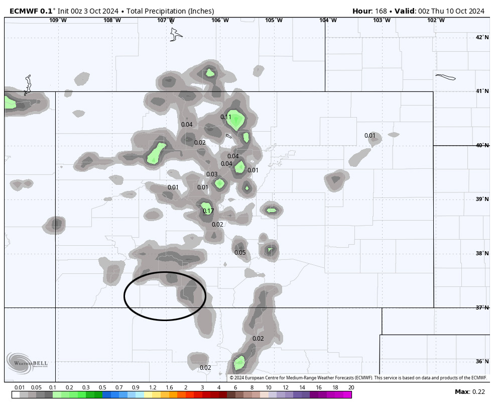
The 8-14 day period… The blocking high will weaken and allow a little more moisture into the area. We’ll see a few more clouds, a slight chance for spotty showers, and more seasonal temps.


In this case, the model expects dry weather through Tuesday and then the pattern getting more active. At this point, I don’t see any big, winter-like storms on the horizon, but we could see a little precip and cooler temps.
The next forecast post will be on Saturday.
– Shawn


