
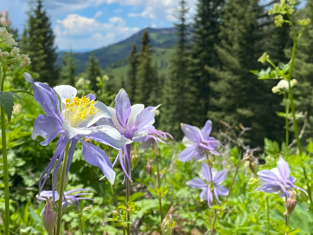
Flowers are poppin’ in the high country! This is our state flower – pic taken 7/3/2024
If images fail to load in the email, please click the title of the post. Thanks!
Friday – 5 July 2024 – 6:15pm
The past…
At Stevens Field the high temperature Thursday afternoon was 83 and the high on Friday was 83. The low this morning was 44. The cold spots dipped into the high 30s.
The minimum relative humidity yesterday was 11% with a dew point of 24. Today it was 12% with a dew point of 23 – quite dry.
The peak wind at Stevens Field yesterday afternoon was 22mph. Today’s peak wind was 20mph.
| Average High | Record High / Year | Average Low | Record Low / Year |
| 83 | 95 / 1989 | 42 | 24 / 1912 |
Precipitation summary… There has been no recent measurable precip.
Forecast discussion…
There is nothing on radar in our area this evening.
Forecast highlights…
*** Dry and warm through the weekend. ***
*** The chance for afternoon showers and thunderstorms will slowly ramp up through the week. ***
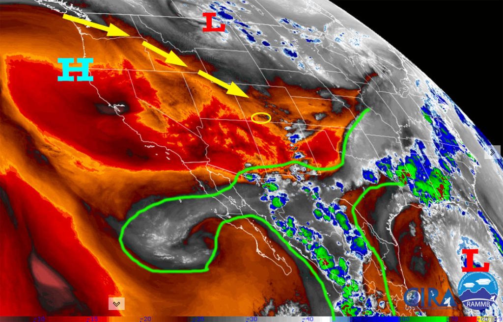
Saturday and Sunday… The upper-level high, currently well off the northern CA coast, will gradually shift southeast. Flow over us will be out of the northwest and dry. Temps will be slightly above seasonal averages for us. I don’t expect any precip.
Winds… Gusts each afternoon will be around 20mph.
Temps… Highs will be in the low to high 80s and lows will be in the low to high 40s.
Monday, Tuesday, and Wednesday… The high will gradually shift east and weaken. By Wednesday afternoon it is expected to be over western UT and eastern NV.
This is not ideal for us but will allow a little more moisture and instability to creep into our area. The chance for a spotty afternoon shower or thunderstorm will slowly increase each day. Wednesday afternoon is the best chance for a little precip, but I expect most of us to remain dry.
Winds… Afternoon peaks will be around 15mph, but isolated higher gusts are possible near a shower or thunderstorm.
Temps… Highs will be in low to high 80s and lows will be in the mid-40s to low 50s.
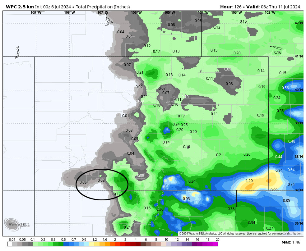
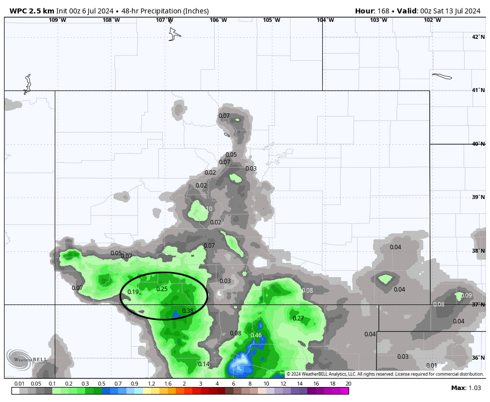
Thursday and Friday… The high will shift farther east towards the Four Corners. A little more moisture and a little more instability will move into our area. Our chance for afternoon showers and thunderstorms will increase a little more.
Winds… Afternoon peaks will be around 15mph, but isolated higher gusts are possible near a shower or thunderstorm.
Temps… Highs will be in the low to high 80s and lows will be in the mid-40s to mid-50s.
My next forecast post will be Sunday afternoon.
– Shawn


