

One of Tommy’s favorite views. – Pic taken 5/12/2024
If images fail to load in the email, please click the title of the post. Thanks!
Tuesday – 14 May 2024 – 5:15pm
The past…
At Stevens Field the high temperature yesterday afternoon was 54 and today the high was 69. The low this morning was 36. The cold spots dipped into the low 30s.
The peak wind at Stevens Field yesterday was 26mph and today there was a peak gust of 36mph at 1:55pm when a rainshower moved through the area.
| Average High | Record High / Year | Average Low | Record Low / Year |
| 67 | 84/ 1984 | 30 | 15 / 1953 |
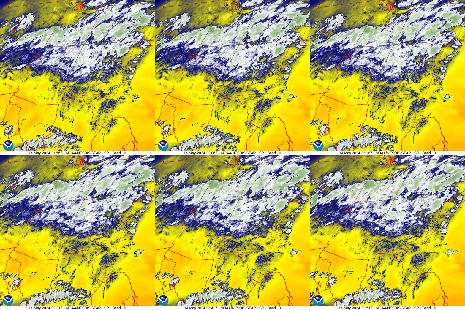
Precipitation summary… Spotty showers and a few thunderstorms moved through parts of the county Monday and Tuesday afternoons.

Forecast discussion…

Forecast highlights…
*** Warmer with pleasant temps. ***
*** Spotty afternoon showers and isolated thunderstorms through Thursday. ***
Tuesday night through Thursday… Residual moisture and instability will lead to spotty afternoon showers and a thunderstorm or two. It’s not a monsoon pattern, but it will act a little like it. Precip amounts each day will be low and spotty.
Winds… Afternoon gusts will be 15-20mph each day. Isolated higher gusts are possible near showers and thunderstorms.
Temps… Highs will be in the mid-60s to mid-70s and lows will be in the high 20s to high 30s.

Friday through Monday… Ridging will be in control. We’ll see scattered clouds each afternoon, but I expect us to stay dry. Temps will be at and slightly above average – it will be really nice!
Winds… Afternoon gusts Friday and Saturday will be 20-25mph. Gusts Sunday and Monday afternoons will be 25-30mph.
Temps… Highs will be in the high 60s to high 70s and lows will be in the low to high 30s.
Arleen will do the next forecast on Thursday.
– Shawn


