
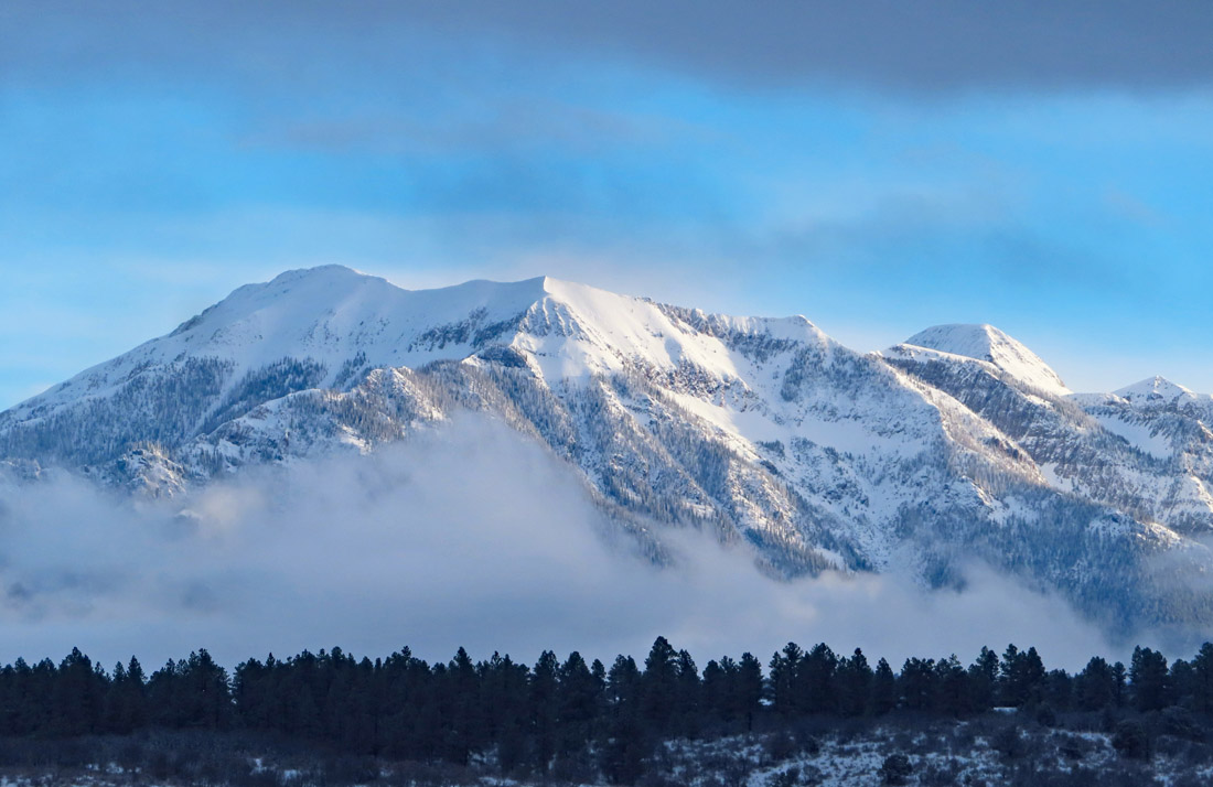
Toner Mountain covered in fresh snow this morning – Pic taken 4/1/2024
If images fail to load in the email, please click the title of the post. Thanks!
Monday – 1 Apr 2024 – 3:30pm
The past…
At Stevens Field the high temperature yesterday afternoon was 50 and the low this morning was 29.
The peak wind at the airfield yesterday was 38mph.
| Average High | Record High / Year | Average Low | Record Low / Year |
| 54 | 72/ 1966 | 20 | -4 / 1980 |
Precipitation summary… Wolf Creek reported 6” of new snow this morning. Much of Archuleta County got some snow. The Chromo area did better than I expected!
THANKS to everyone for your reports and pictures on Facebook!

Forecast discussion…


Forecast highlights…
*** More showers late Monday afternoon into the evening. ***
*** A WINTER WEATHER ADVISORY is out for the eastern San Juan Mountains above 10,000ft, which includes Wolf Creek Pass. An additional 2-4” of snow is possible until late Monday evening. ***
*** Lots of sun, warmer, and dry Tuesday through Friday afternoon. ***
*** More snow possible Friday evening to Saturday evening. ***
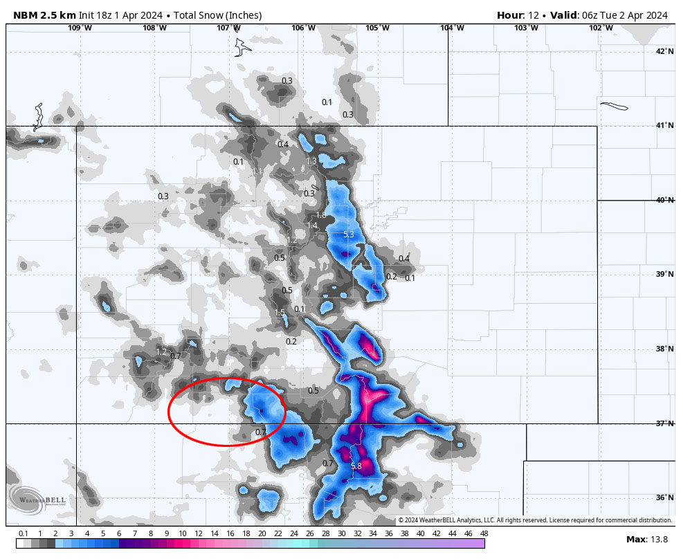
Monday… The trough will move through around midnight tonight. Showers and an isolated thunderstorm or two will ramp up again late Monday afternoon into late Monday evening.
Snow levels… Are currently around 7,200ft and will drop below 6,500ft by Monday evening. The ground is warm, and temps will be near and above freezing so snow will struggle to accumulate.
Snow amounts to late Monday evening…
Valley: up to 1”
Mountains: 2-4”
Winds… Monday afternoon gusts will be 15-20mph.
Temps… Monday highs will be in the high 30s to high 40s and lows will be in the high teen to mid-20s.
Tuesday, Wednesday, and Thursday… Ridging will take over and give us lots of sun and pleasant spring temps.
Winds… Tuesday and Wednesday afternoon peaks will be 10-15mph. Thursday afternoon peaks will be 15-20mph.
Temps… Highs Tuesday will be in the high 40s to mid-50s and lows will be in the high teens to mid-20s. Highs Wednesday will be in the low 50s to low 60s and lows will be in the low to high 20s. Highs Thursday will be in the mid-50s to mid-60s and lows Thursday night will be in the mid-20s to low 30s.
Friday and Saturday… Another system will move through. Clouds and winds will increase through Friday afternoon.
Timing… The first few scattered showers will develop over the mountains Friday afternoon and then over the valley late Friday evening. The best chance for precip is late Friday evening to around noon Saturday. Hit and miss showers will persist into Saturday evening, mostly over the mountains.
Snow levels… Friday afternoon rain is possible up to 8,500ft. The snow level will drop to 7,500ft by midnight Friday and continue to drop to around 6,000ft by sunrise Saturday.
Snow amounts…
Valley: 1-3”
Mountains: 5-10”
Winds… Gusts in the valley will be 25-35mph and gusts in the mountains will be 45-55mph.
Temps… Highs Friday will be in the low to high 50s and lows Friday night will be in the high 20s to mid-30s. Highs Saturday will be in the mid-30s to low 40s and lows Saturday night will be in the mid-teens to mid-20s.
We’ll continue to adjust the details as the data gets better.

Arleen will do the next forecast post on Tuesday. Plus I hope to get the March summary out in the next day or two.
– Shawn


