
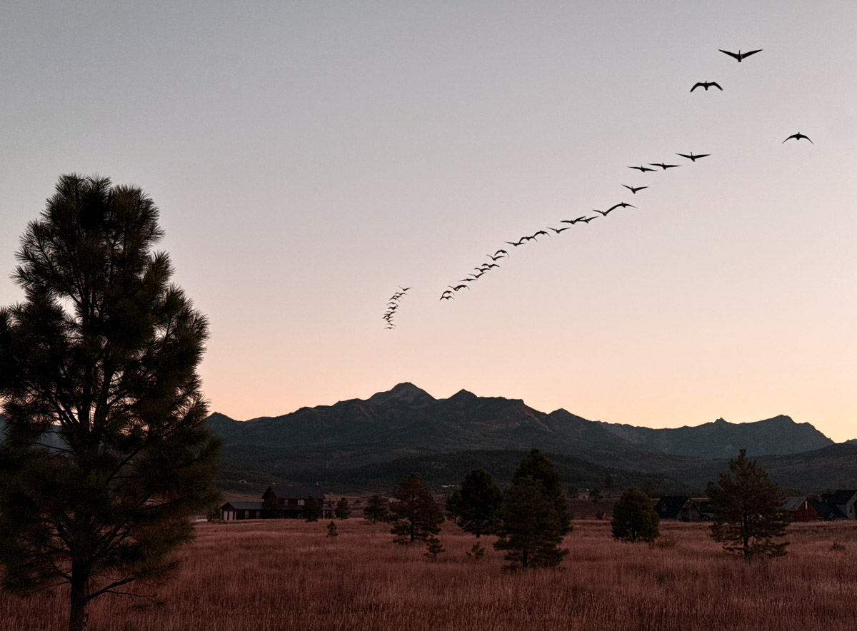
Geese flying overhead during the sunrise walk – pic taken 10/3/2025
Monday – 6 Oct 2025 – 6:00pm
The past…
Stevens Field Observations
Saturday: High: 65, Low: 35, Minimum relative humidity: 22%, Peak Wind: 43mph
Sunday: High: 66, Low: 28, Minimum relative humidity: 15%, Peak Wind: 10mph
| Average High | Record High / Year | Average Low | Record Low / Year |
| 68 | 82 / 1956 | 29 | 13 / 1908 |
Precipitation summary… Saturday scattered showers and thunderstorms hit much of Archuleta County adding to our precip totals.
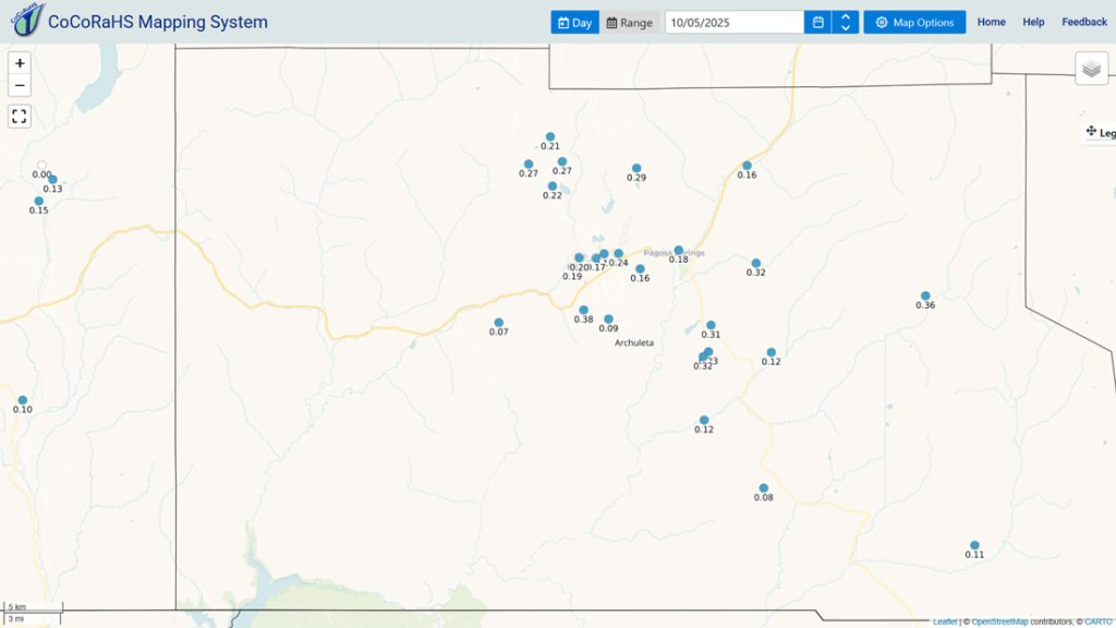

Current satellite and radar…
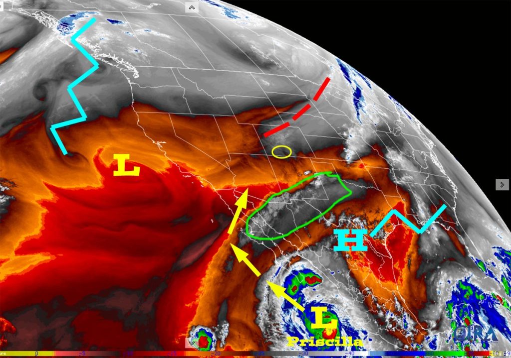
There is nothing on radar in our region Monday afternoon.
Forecast highlights…
*** Tuesday, Wednesday, and Thursday there will be a few spotty afternoon showers and thunderstorms. ***
*** Friday through Sunday morning confidence is increasing that Priscilla will visit. Expect lots of clouds, occasional heavy rain showers, and a few thunderstorms. ***
Forecast details…
Tuesday, Wednesday, and most of Thursday… The upper-level ridge will be near us. We’ll have marginal stability and marginal moisture. There will be a few spotty afternoon storms.
Thursday night through Sunday morning… It looks more likely that Priscilla will visit.
Priscilla’s remnants are expected to get entrained into the southwest flow ahead of a trough along the West Coast. The trough is expected to move through our area on Sunday.
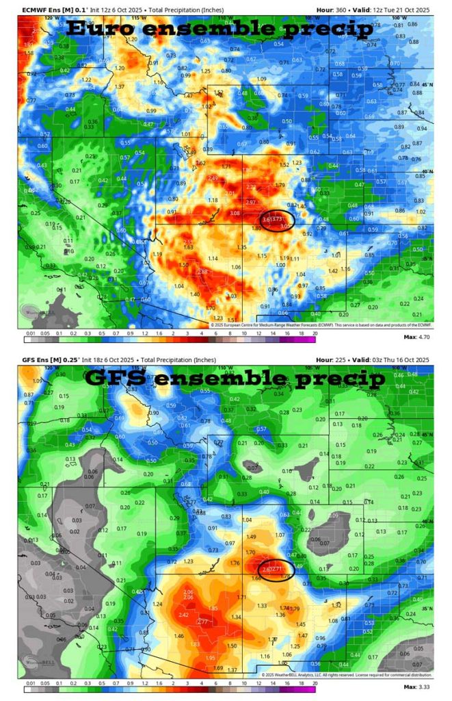
Thursday night into Saturday evening precipitable water, a measure of the potential amount of water vapor available for precip, is 250% to 300% of average. This could result in significant rainfall in our area. See the forecast rainfall totals below the map below.
Thursday night through Sunday morning will be more active with widespread showers and a few embedded thunderstorms. Storms could produce brief periods of heavy rain, small hail, lightning, and gusty winds. *** The heaviest rain is mostly likely to fall on Friday and Saturday. ***
Snow… A subtropical feed means relatively warm air and mostly rain. Snow levels will start around 12,000ft Tuesday, and then jump to 14,000ft by Friday afternoon, and then drop back to around 12,000ft by sunrise on Sunday. Temps will hover around freezing so snow will struggle to accumulate.
*** I’ll continue to adjust timing, precip amounts, and mountain snow as the data gets better. ***
Next Monday night through Thursday morning… We could see another low-pressure system and more wet weather, but that’s too far out to trust the details.
Temps…
Monday night lows will be in the high 20s to high 30s.
Tuesday, Wednesday, and Thursday highs will in the mid-60s to low 70s. Tuesday and Wednesday nights lows will be in the low 30s to low 40s. Thursday night lows will be in the high 30s to mid-40s.
Friday highs will be near 60 to the high 60s and lows will be in the mid to high 40s.
Saturday and Sunday highs will be in the high 50s to mid-60s and lows will be in the low to high 30s.
Winds…
Tuesday through Friday, each afternoon gusts will be around 20mph. Saturday and Sunday afternoons gusts will be 20-25mph.
As always, stronger isolated gusts are likely near a shower or thunderstorm.


The 8-14 day period… The models continue to flip-flop wildly for the 8-14 day period. One model run will show multiple low-pressure systems impacting us and then the next model run shows them missing us.
The good news is that the jet stream has slipped south and is active. It looks like the first half of October will be wet.
The next post will be on Wednesday.
– Shawn


