
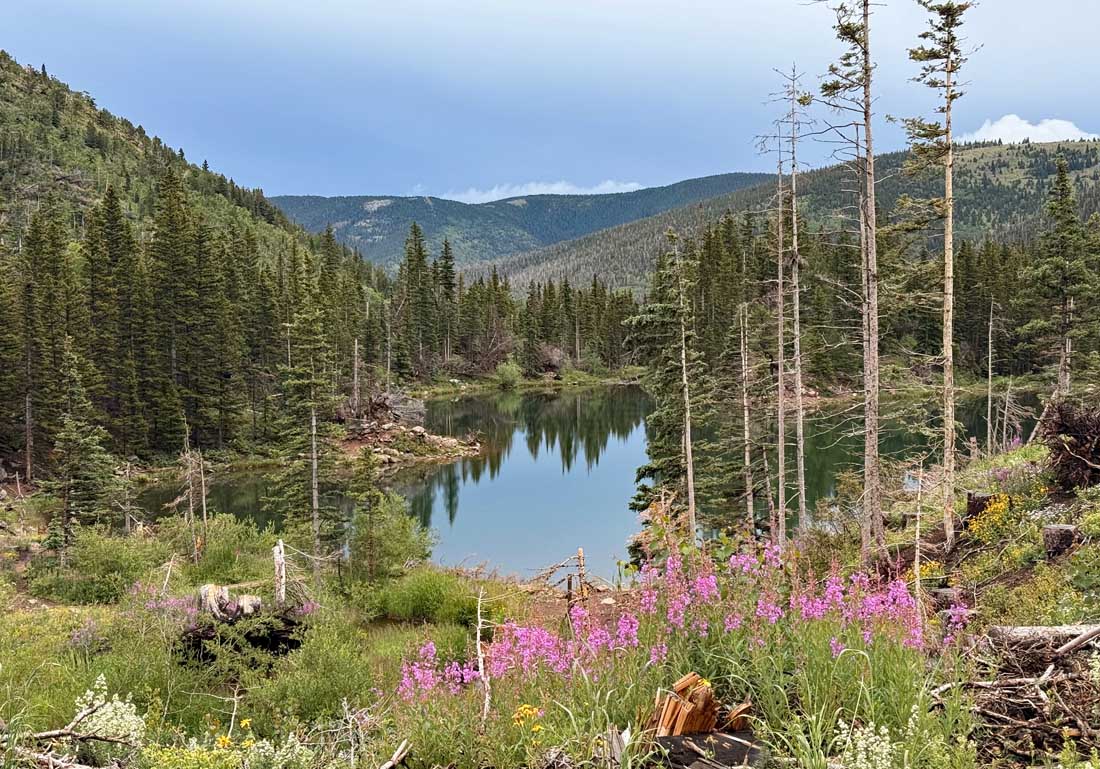
Bear Lake near Cuchara, Colorado – Pic taken 7/24/2025
Sunday – 27 Jul 2025 – 5:15pm
The past…
At Stevens Field the high temperature on Saturday was 82, and on Sunday it was 84. The low this morning was 44. The cold spots were in the high 30s.
The minimum relative humidity Saturday afternoon was 11% and Sunday afternoon it was 10%.
The peak wind at Stevens Field on Saturday was 25mph and on Sunday it was 25mph.
| Average High | Record High / Year | Average Low | Record Low / Year |
| 82 | 90 / 1966 | 46 | 34 / 1995 |
Precipitation summary… There has been no recent measurable rain.
Fire and smoke…
Multiple fires were reported yesterday in neighboring La Plata County. The two most active fires were the Rim Road Fire west of Ignacio and the Elkhorn Fire north of Durango.
Some smoke moved across the northwest part of Archuleta County yesterday evening and then cleared out overnight. As of Sunday afternoon, the air is clear and air quality is good.

In spite of the fires in the region, air quality is good across southwest Colorado. Archuleta County is in the black circle.
Forecast discussion…
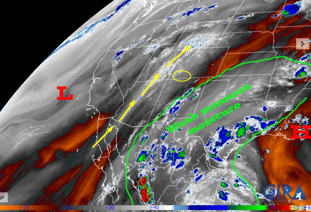
Over the next few days, the high currently along the Gulf Coast will slowly shift westward and push that weak monsoon moisture plume back into our area.
There is nothing on radar in our area Sunday afternoon.
Forecast highlights…
*** Stage 1 Fire Restrictions are in effect for the entire San Juan National Forest. ***
*** Mostly dry through Monday. More active Tuesday through Friday. Less active next weekend. The 8-15 day period does not look encouraging. ***
*** Recent rainfall across Pagosa Country has varied considerably. Fire danger remains high. New lightning fires are possible. If you spot smoke, call Archuleta County dispatch at 970-731-2160. ***
Rest of Sunday through next Sunday… The monsoon plume is cut-off through most of Monday and will then funnel back into our area Tuesday through Friday. It looks like it will cut off again next weekend and through the first part of next week.
More details… Today conditions are dry and stable. Monday moisture and instability will increase a little. Tuesday through Friday, moisture and instability will become moderate. Next weekend moisture and instability will decrease.
And what does that mean? Dry through Sunday, a slight chance for an isolated afternoon shower or thunderstorm Monday, and then a coin toss for showers and thunderstorms Tuesday through Friday. Next weekend will be mostly dry with just a slight chance for an isolated shower or thunderstorm.
Temps…
Sunday and Monday highs will be in the mid-80s to low 90s and lows will be in the low 40s to low 50s.
Tuesday highs will be in near 80 to the high 80s and lows will be in the mid-40s to mid-50s.
Wednesday through Friday highs will be in the mid-70s to low 80s and lows will be in the mid-40s to mid-50s.
Saturday and next Sunday highs will be near 80 to the high 80s and lows will be in the low 40s to low 50s.
Winds… Afternoon gusts will be 15-20mph. As always, stronger isolated gusts are likely near a shower or thunderstorm.

The 8-14 day period… A weak monsoon pattern with weak moisture and weak instability will set up. Expect isolated showers and thunderstorms most afternoons. Precip amounts will be mostly light.


Unless something interesting pops up, the next post will be on Tuesday.
– Shawn


