
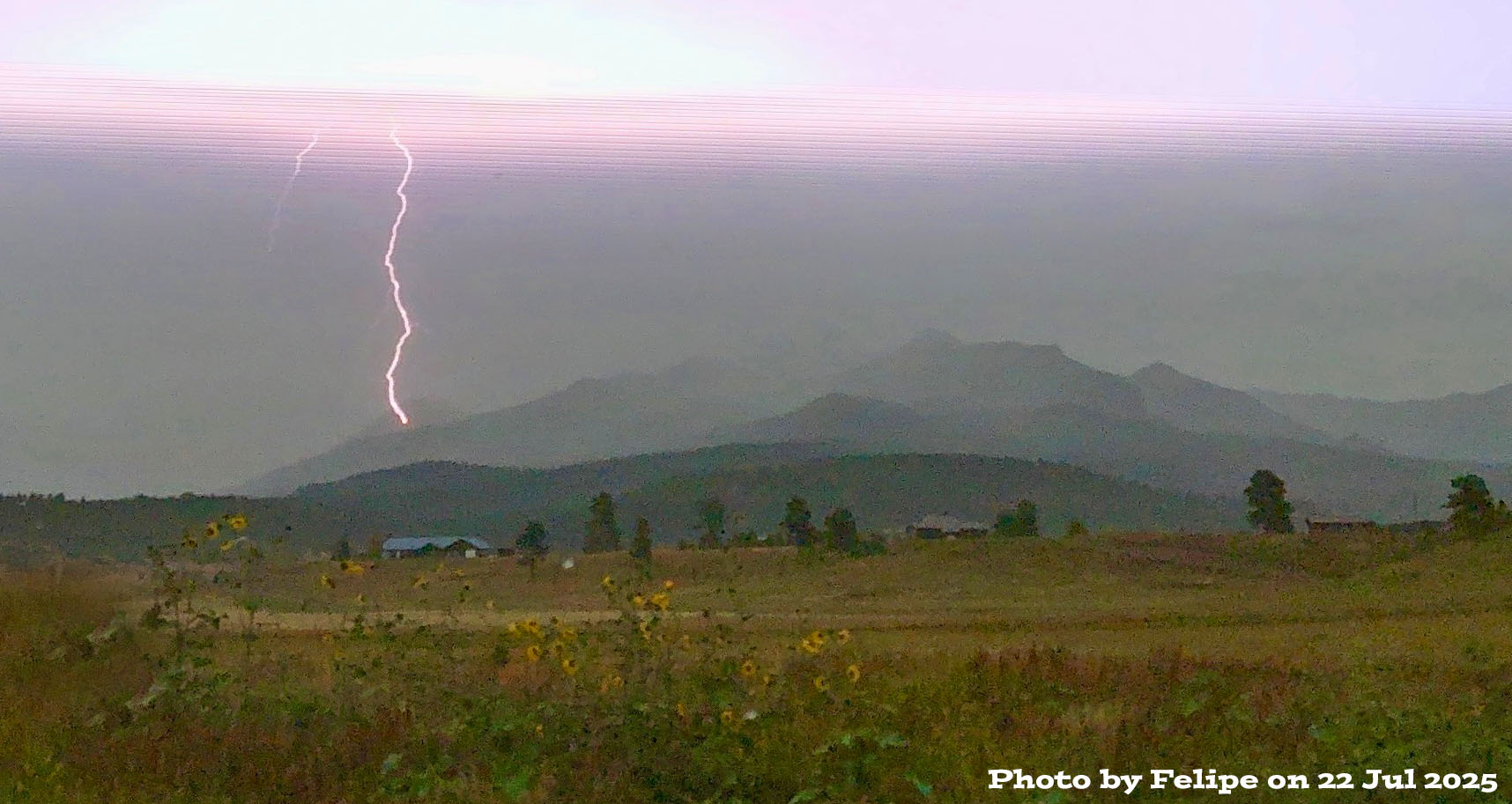
Cool shot of lightning near Pagosa Peak – Pic taken 7/22/2025 by Felipe
Wednesday – 23 Jul 2025 – 3:50pm
The past…
Stevens Field weather data has been missing for a few days, so I’ll use data from The Springs Resort.
The high temperature so far today was 82, and the low this morning was 50.
The minimum relative humidity so far today was 38%.
The peak wind so far today was 21mph.
| Average High | Record High / Year | Average Low | Record Low / Year |
| 82 | 92 / 1940 | 46 | 31 / 1973 |
Precipitation summary… There were 10 locations that reported an inch or more of rain yesterday!

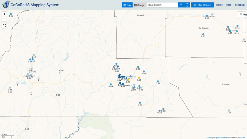
10 locations reported an inch or more!
Forecast discussion…
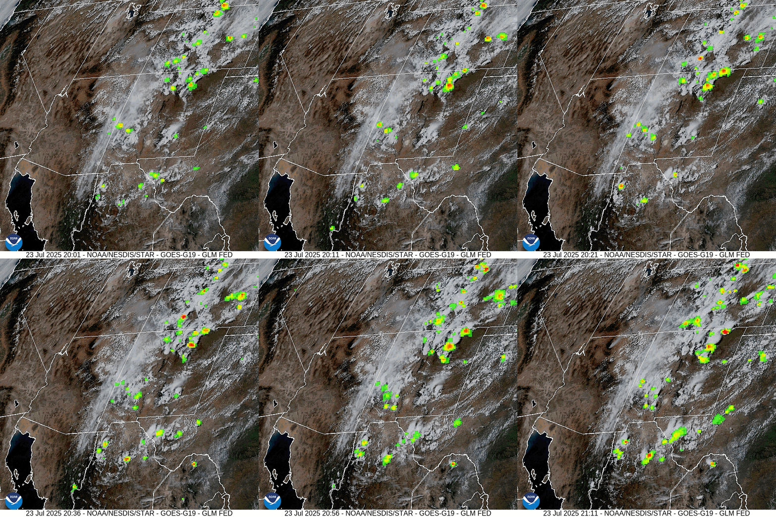
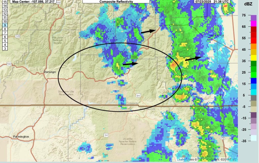
Forecast highlights…
*** Stage 1 Fire Restrictions are in effect for the entire San Juan National Forest. ***
*** Scattered afternoon showers and thunderstorms today and then more hit and miss Thursday. Mostly dry Friday through Monday. The rest of next week looks pretty wet. ***
*** Rainfall across Pagosa Country has varied considerably. Fire danger remains high. New lightning fires are possible. If you spot smoke, call Archuleta County dispatch at 970-731-2160. ***
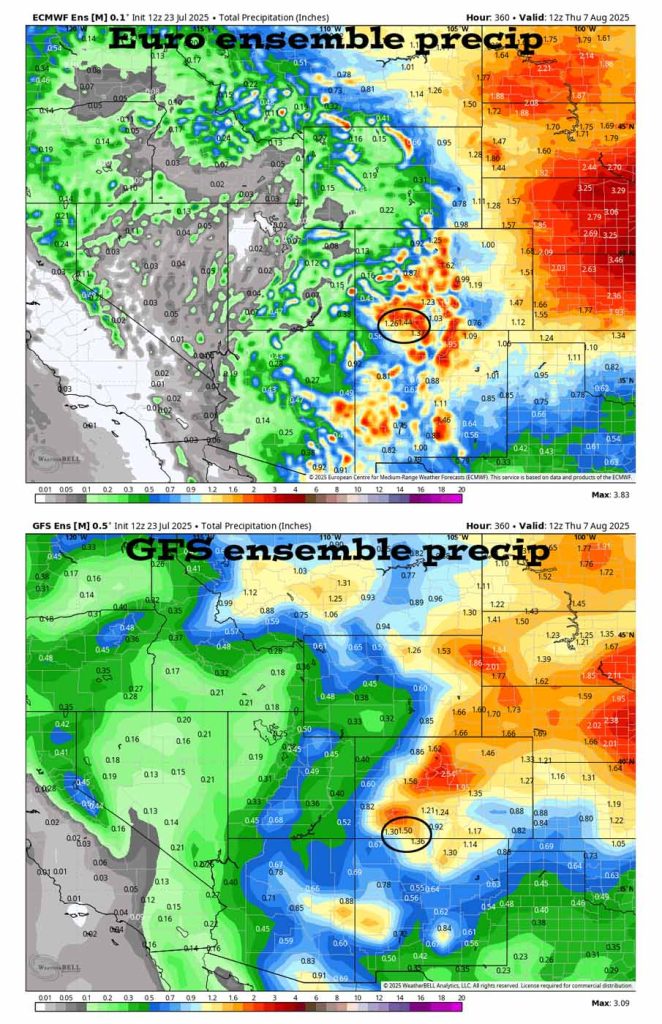
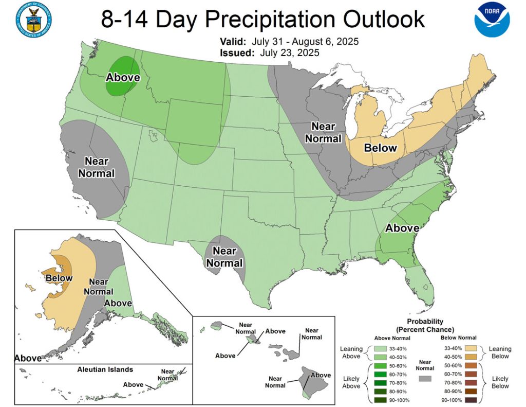
Rest of Wednesday through next Wednesday… The monsoon plume will get cut-off most of Thursday through most of Monday and then funnel back into our area next week.
More details… Moderate moisture and moderate instability will stick with us through Wednesday and then decrease Thursday. Friday, Saturday, and Sunday will be mostly dry and mostly stable. Monday moisture and instability will increase a bit. Finally, Tuesday through at least Friday, moisture and instability will both be pretty high.
And what does that mean? A coin toss for you to get an afternoon shower or thunderstorm today, just a slight chance Thursday through Monday, and then a coin toss the rest of next week.
Temps…
Today highs will be in the low 70s to the low 80s and lows will be in the mid-40s to mid-50s.
Thursday through Saturday highs will be near 80 to the high 80s and lows will be in the mid-40s to low 50s.
Sunday and Monday highs will be in the mid-80s to low 90s and lows will be in the mid-40s to low 50s.
Tuesday and next Wednesday highs will be in the high 70s to mid-80s and lows will be in the mid-40s to mid-50s.
Winds… Afternoon gusts will be 15-20mph. As always, stronger isolated gusts are likely near a shower or thunderstorm. Saturday is the exception with gusts to 25mph possible.
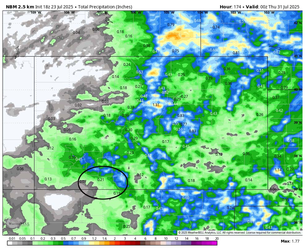
The 8-14 day period… I expect an increase in monsoon activity starting the 29th or 30th. We’ll continue to see scattered showers and thunderstorms most afternoons. Precip amounts will vary considerably.
I’ll get the next post out Friday evening.
– Shawn


