
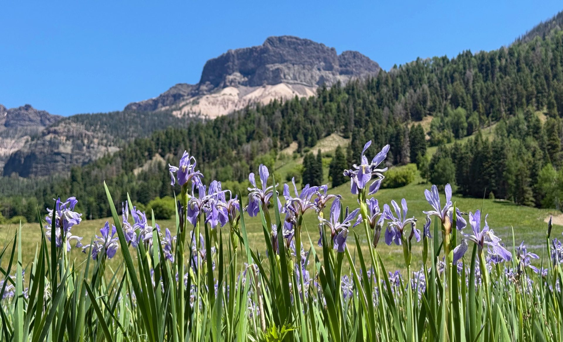
Wild Iris Quest was a success! 6/13/25 (click on title of post to see picture)
Saturday – 14 Jun 2025 – 7:30pm
The past…
At Stevens Field the high temperature today was 85. The low this morning was 41.
We’ve only seen a few puffy cumulus over the mountains. This is due to valley breeze on both sides of the mountains in the warm afternoons. They sap what little moisture is in the air to form a few clouds.
The peak wind at Stevens Field on today has been 18mph.
| Average High | Record High / Year | Average Low | Record Low / Year |
| 78 | 98 / 1947 | 35 | 23/ 1951 |
Precipitation summary… We only had a few sprinkles Thursday afternoon. Otherwise there hasn’t been any precipitation for two days.
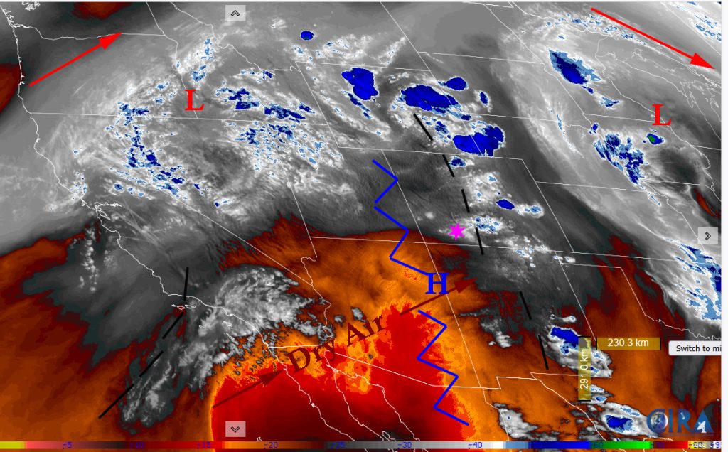
Satellite
Radar
There is nothing on radar in our area. The closest thing is a shower north of Del Norte.
Forecast highlights…
*** Warm & Dry weather for a while – typical for June. ***
*** Fire Dangers increase ***
Saturday, the 14th through Sunday the 22nd: Dry, Stable, Warm … It will be Clear to Partly Cloudy with lots of sun, warm temperatures and dry weather. An upper level disturbance will move through on Wednesday. But it will just bring more upper level and mid-level clouds ahead of it.
Temps… Highs temps will be in the low 80s to upper 80s with tomorrow, Sunday being the warmest day of the week. Expect temperatures on Tuesday and Wednesday to be just a few degrees cooler as upper level clouds move in. Low temperatures for the entire period will low 40s to mid 40s.
Winds… Afternoon gusts each afternoon will be around 20mph. Monday will gust up to 25mph. Tuesday will gust up to 30mph – the windiest day of the week. Friday will have gusts up to 25mph again.
Precipitation Outlook
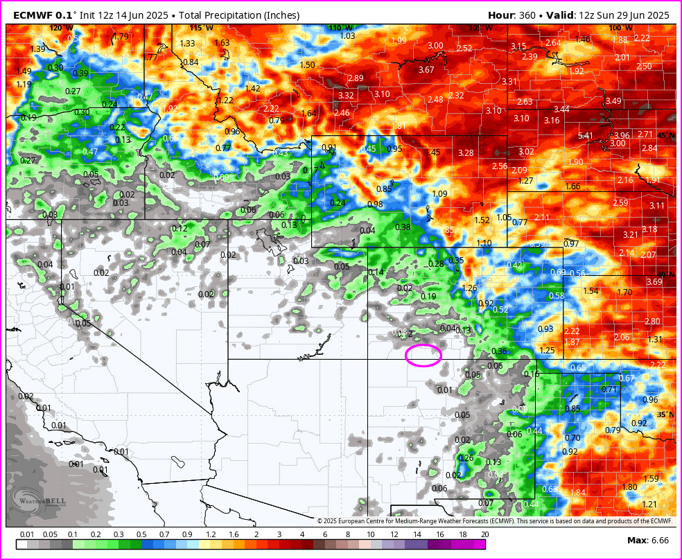
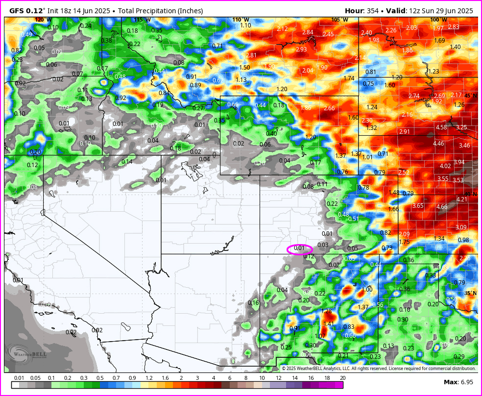
The Euro and GFS models have not been in agreement as to what is going to happen in the mid range.
The Euro wants to keep bringing in jet supported systems from the north. These will be mostly dry with limited showers over the mountains. This also knocks down the sub-tropical ridge trying to build that will help facilitate the beginning of the monsoon.
The GFS wants to build the sub-tropical ridge and wrap moisture in from the gulf – the first few sputters of the monsoon. Go GFS!
Either way it looks dry for at least the next two weeks.
Wildfire Danger Increases
Remember with these conditions, fuels will dry out quickly. Please be extra careful and vigilant in the back country to not inadvertently start a wildfire. Thank you!
The next post will be on Monday.
– Arleen


