

This is a really cool picture of half of a sun halo. It’s half because the sun is below the horizon. The halo is formed by refracted light by tiny ice crystals in high, very thin cirrostratus clouds. – Pic taken by Anna near North Pagosa Blvd on 26 Mar 2025
Wednesday – 26 Mar 2025 – 6:10pm
The past…
At Stevens Field the high temperature on Monday was 63 and on Tuesday it was 68. The low this morning was 28.
The peak wind at Stevens Field on Monday was 20mph and on Tuesday it was 23mph.
| Average High | Record High / Year | Average Low | Record Low / Year |
| 51 | 71 / 1940 | 18 | -9 / 1913 |
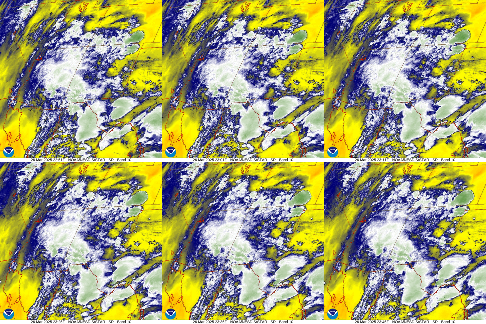
Precipitation summary… There has been no recent measurable precip. It was a little more unstable than I expected this afternoon. Our friends in the Chromo and Chama areas might have seen a few raindrops.
Forecast discussion…

Forecast highlights…
*** Potential for record highs Thursday. ***
*** Spotty mountain snowshowers Thursday, Friday, Saturday, Sunday, and Monday afternoons. ***
*** Gusty afternoon winds starting Friday. ***
*** Things are looking more interesting next week. ***
Rest of Wednesday through Monday evening … A weak trough is slowly moving through southern AZ and southern NM. Unstable, moderately moisture southerly flow is kicking up isolated afternoon showers and thunderstorm or two.
Snow levels will be above 9,000ft into Friday evening and then a cold front will drop them into the 7,500 to 8,000ft range. However, the best chance for precip is each afternoon when temps in the Pagosa area will be well above freezing.
Snow amounts for this whole period…
Mountains above 9,000ft: 1-3” – it will be spotty
Pagosa area: a few scattered “rainflakes” and graupel with no snow accumulation
Temps…
Wednesday night lows will be in the mid-20s to mid-30s.
Thursday highs will be in the low 60s to the low 70s and lows will be in the high 20s to mid-30s.
*** Record high temp potential… The record high for Thursday is 69. ***
Friday highs will be in the high 50s to mid-60s and lows will be in the mid-20s to mid-30s.
Saturday highs will be in the low to high 50s and lows will be in the low 20 to low 30s.
Sunday highs will be in the high 40s to mid-50s and low will be in the high teens to high 20s.
Monday highs will be in the low to high 50s and lows will be in the mid-20s to mid-30s.
Winds…
Thursday afternoon gusts will be around 20mph.
Friday, Saturday, Sunday, and Monday afternoon gusts will be 25-30mph in the Pagosa area and 40-45mph in the mountains.
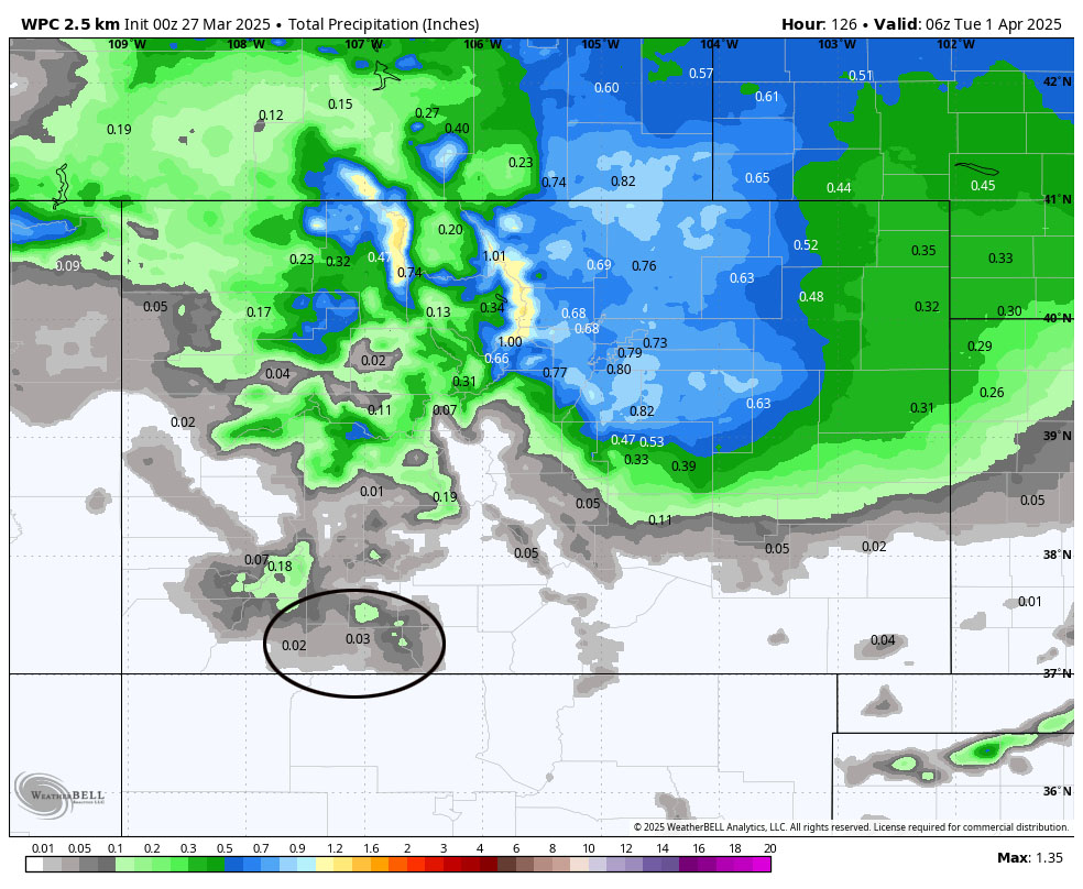
Monday night into next Sunday – 6 April… I’m struggling with this period. The forecast models indicate three possibilities:
1. A slow-moving storm with decent precip.
2. Two fast-moving storms with less precip.
3. Hardly any storm at all.
I prefer option “1” but I’m skeptical.


Most of the 50 versions of the Euro model expect a 5 to 6 day period of wet weather. But during that period there is a low of 0.02” and high of 3.3” – a huge difference. The GFS model isn’t so certain of a multi-day wet period. A couple of the versions have almost zero precip while one has 4.2” – an even bigger difference.
If we’re lucky we’ll get another powder day or two before Wolf Creek closes!
The next post will be on Friday.
– Shawn


