
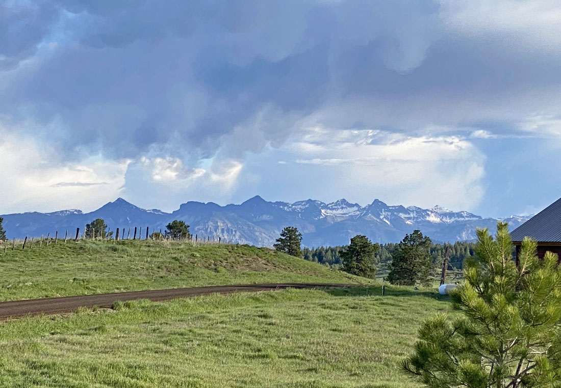
It was unstable Saturday morning, but the moisture moved through before things could get more active in the afternoon – Pic taken 6/1/2024
If images fail to load in the email, please click the title of the post. Thanks!
Sunday – 2 June 2024 – 3:45pm
The past…
At Stevens Field the high temperature yesterday afternoon was 75 and so far the high today is 76. The low this morning was 40. The cold spots dipped into the mid-30s.
The peak wind at Stevens Field yesterday afternoon was 28mph and so far today it has been 24mph.
| Average High | Record High / Year | Average Low | Record Low / Year |
| 73 | 83/ 1912 | 33 | 20 / 1951 |
Precipitation summary… One spot reported a trace of precip but everyone else reported none.
Forecast discussion…

The weak low well off the coast is expected to move into the northern Gulf of CA by Saturday evening. It will help push a surge of subtropical moisture into our area.
An uncharacteristically strong atmospheric river event is impacting the Pacific NW.
There is nothing on radar at 2:30pm Sunday afternoon.
Forecast highlights…
*** Temps in town will be in the low 90s Wednesday, Thursday, and Friday. ***
*** Scattered afternoon showers and thunderstorms Friday through Tuesday. ***
Rest of Sunday through Thursday… Upper-level flow will fluctuate between west to east and northwest to southeast in our area.
Thursday moisture and instability will begin to increase so a spotty afternoon shower or thunderstorm is possible, especially over the mountains. I don’t expect any significant precip.
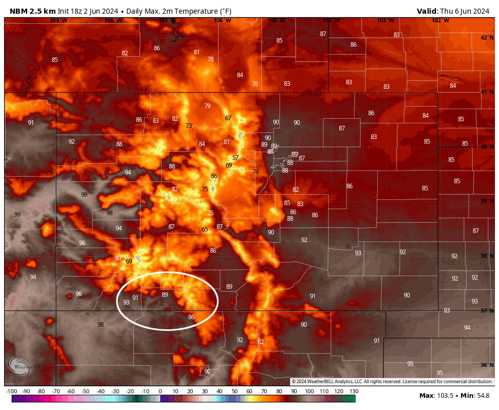
Temps will gradually warm. By Wednesday and Thursday, temps will be 10-15 degrees above average. Temps in town will be in the low 90s.
Winds… Afternoon gusts will be 15-20mph. Isolated stronger gusts are possible near showers.
Temps… Highs Monday and Tuesday will be in the high 70s to high 80s and lows will be in the mid-30s to mid-40s. Wednesday and Thursday highs will be in the mid-80s to low 90s and lows will be in the low to high 40s.
Friday through Tuesday… The subtropical ridge will set up nearly over our heads. At the same time, a weak low will move north up the Gulf of California.
A surge of subtropical moisture will move north, between the high and the low, into our area. Based on the Euro forecast model, precipitable water will be 170% of average by Friday afternoon, will peak around 220% Monday evening, and then drop quickly starting Tuesday. The GFS pushes the moisture out starting Monday.
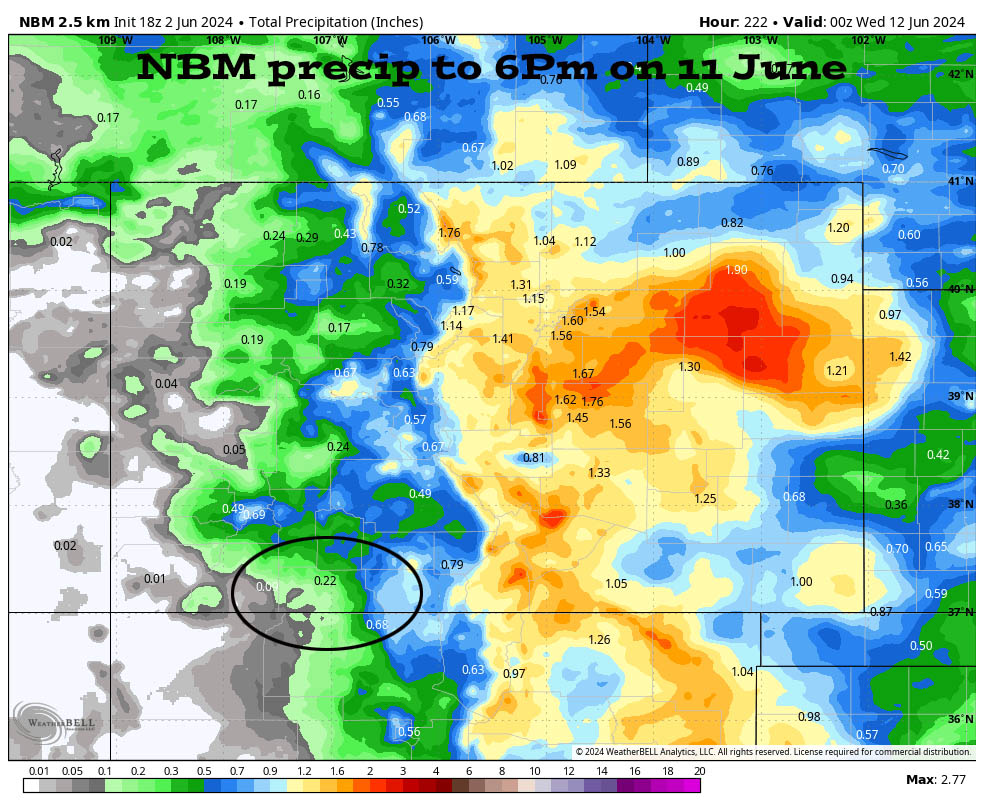
We’ll see scattered showers and a thunderstorm or two each afternoon and into the early evenings. Each day precip amounts will vary between zero and 0.25”. We’ll be playing the rain lottery.
Winds… Afternoon peaks will be near 15mph, but isolated higher gusts are possible near showers and thunderstorms.
Temps… Highs Friday will be in the mid-80s to low 90s and lows will be in the low to high 40s. Saturday highs will be in the low 80s to low 90s and lows will be high 30s to high 40s. Highs Sunday through Tuesday will be in the mid-70s to mid-80s and lows will be in the high 30s to mid-40s.
My next forecast post will be on Tuesday.
– Shawn


