

Clouds were hugging the mountain tops this morning – Pic taken 2 Mar 2024
If images fail to load in the email, please click the title of the post. Thanks!
Saturday – 2 Mar 2024 – 2:45pm
The past…
At Stevens Field the high temperature yesterday afternoon was 49 and the low this morning was 23. The cold spots dipped into the high single digits this morning.
The peak wind at the airfield yesterday afternoon was 24mph.
As of 2:30pm Saturday, the peak wind at Stevens Field has been 24mph and Lobo Overlook hit 62mph.
| Average High | Record High / Year | Average Low | Record Low / Year |
| 45 | 60 / 1986 | 12 | -15 / 1913 |
Precipitation summary… There was no measurable precip in the last 24 hours.
Forecast discussion…

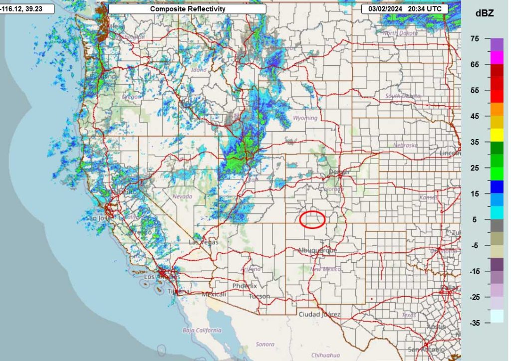
Forecast highlights…
*** Saturday night to early Sunday afternoon will be windy with periods of snow, blowing snow, and poor visibility. ***
*** A WINTER WEATHER ADVISORY has been issued for the eastern San Juan Mountains above 10,000ft – this includes Wolf Creek Pass. Expect 5-11” of snow and winds gusting to 75mph. Valid time is 11pm Saturday to 5am Monday. ***
Through Saturday afternoon… Clouds and winds will increase ahead of the next system.
Winds… Late Saturday afternoon through Saturday night: 30-45mph. Winds in the mountains will be 60-75mph.
Temps… Saturday will be in the mid-40s to low 50s. Lows Saturday night will be in the mid-20s to low 30s.
Saturday night to Monday morning… The next system will move through. It will move west to east, and we’ll catch the southern end of it. The best storm energy and moisture will be to our north. If the system dips a little farther south, we’ll see slightly higher snow amounts. A little good news: This system will be a little colder so snow will accumulate more efficiently. Bad news: It will be windy.
Timing… The first scattered showers will start over the mountains Saturday evening and in the valley after midnight. The best chance for precip is early Sunday morning to around noon Sunday. Scattered showers will linger into Monday morning, mostly over the mountains.
Snow amounts…
Valley: 1-4”
Mountains: 8-14”
Winds… Gusts will be 30-40mph into Sunday afternoon. In the mountains winds will gust 60-75mph.
Temps… Lows Saturday night will be in the mid-20s to low 30s. Highs Sunday will be in the mid-30s to low 40s and lows Sunday night will be in the mid-teens to mid-20s.

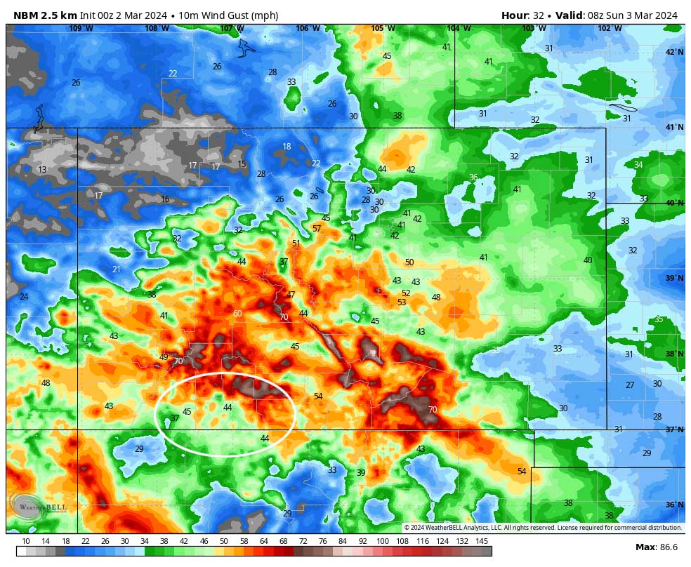
Monday afternoon through Wednesday afternoon… Upper-level flow goes zonal – flat, west to east with no significant ridge or trough. This will result in partly to mostly cloudy skies and very spotty showers, mostly over the mountains. For snow, the lucky spots in the valley could get a dusting and lucky spots in the mountains could get 1-2”.
Winds… Monday afternoon: 15-20mph. The windy spots could hit 25mph. Tuesday afternoon: 15-20mph. Wednesday afternoon: 15-20mph.
Temps… Highs Monday will be in the mid-30s to mid-40s, and lows will be in the high single digits to high teens. Highs Tuesday and Wednesday will be in the low 40s to low 50s and lows will be in the low teens to low 20s.
Wednesday night through Friday… The next system will move through. It doesn’t look organized and precip amounts are on the low side. However, the forecast models are all over the place, so I have no confidence in the details. Stay tuned on this one.

I’ll probably do a quick Facebook post first thing tomorrow morning and then a more thorough post later in the morning. I also hope to get the February summary/March outlook posted in the next few days.
– Shawn


