
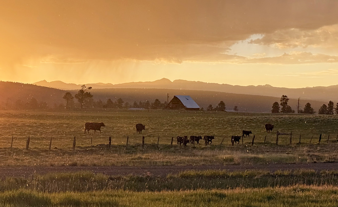
Cows in a golden sunset and some falling raindrops – pic taken 5/30/2025
Saturday – 31 May 2025 – 5:10pm
The past…
At Stevens Field the high temperature on Thursday was 73, and on Friday it was 80. The low this morning was 45 and the cold spots were in the high 30s.
The peak wind at Stevens Field on Thursday was 44mph and on Friday it was 25mph.
| Average High | Record High / Year | Average Low | Record Low / Year |
| 72 | 87 / 1956 | 32 | 20 / 1916 |
Precipitation summary… Much like the last few days, there were a few spotty showers yesterday afternoon.
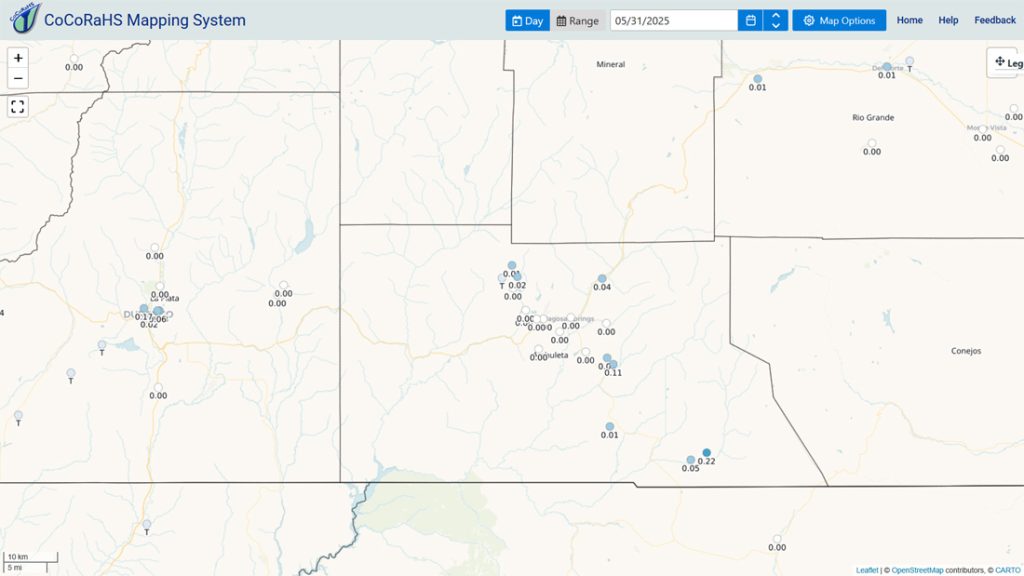
Forecast discussion…
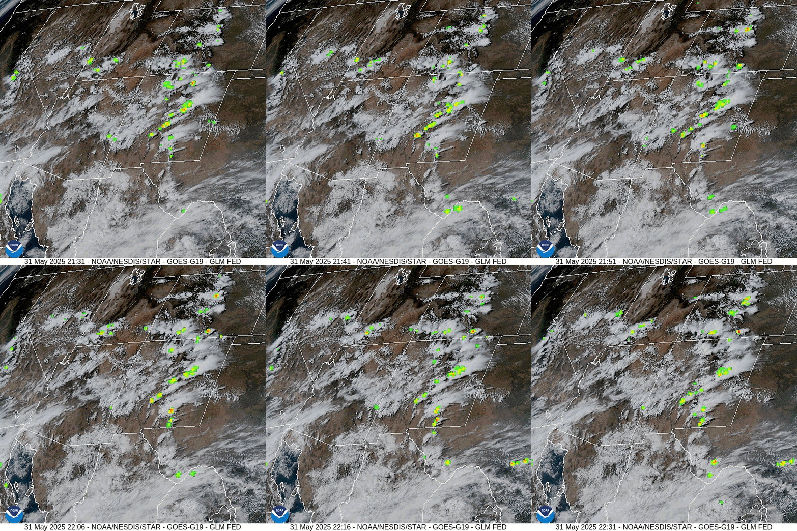

Forecast highlights…
*** Moisture from Alvin will give us a decent soaking on Monday, Tuesday, and Wednesday. ***
*** Streams could rise and minor flooding in low-lying areas is possible. ***
Rest of Saturday to late Sunday evening… Semi-moist and unstable air will stick with us leading to scattered afternoon showers and thunderstorms. Precip amounts will vary between zero and 0.10”.
Temps…
Saturday night lows will be in the high 30s to high 40s. Sunday highs will be in the high 70s to mid-80s. The warm spots will flirt with 90. Lows will be in the low to high 40s.
Winds… Afternoon gusts will mostly be 15-20mph, but stronger gusts are possible near showers and thunderstorms.
Sunday night to Wednesday evening… A cut-off low off the Baja coast will tap a bit of moisture from the remnants of “Alvin”, the first Pacific tropical storm of the season, and push that moisture into the Four Corners area.
Precipitable water, the amount of potential moisture available for precip, could rise to 250% of average for this time of year. This is impressive and indicative of subtropical moisture from Alvin.
Timing…
There’s a slight chance for a spotty shower early Monday morning and then showers with a few thunderstorms will become more widespread late Monday morning into Monday evening. Late Monday evening through Tuesday morning showers will be more hit and miss.
Tuesday afternoon into Wednesday evening showers with a few thunderstorms will be more widespread. Showers will end Wednesday night.
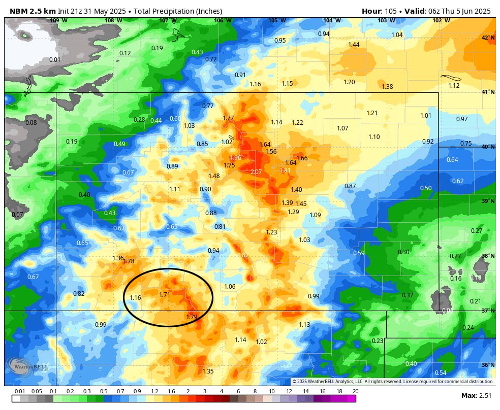
I expect most of the county to get 1.00” to 1.50” of rain. The rain lottery winners could get up to 1.75”. Our mountains will get up to 2.00” of rain.
For folks curious about snow levels, they’ll start around 14,000ft Sunday night, fluctuate a few hundred feet on either side of 13,000ft most of Monday, drop to around 12,500ft Monday night, rise to 13,000ft Tuesday afternoon, and then fluctuate between 12,000ft and 12,500ft through Wednesday.
Temps… Monday will be cooler with highs near 60 to the high 60s and lows will be in the low to high 40s. Tuesday and Wednesday highs will be in the low to high 60s. Lows Tuesday night will be in the low to high 40s. Lows Wednesday night will be in the low to high 30s.
Winds… Afternoon gusts will mostly be near 20mph, but stronger gusts are likely near showers and thunderstorms.
Thursday through Sunday… Moisture will decrease but we’ll remain unstable. Thursday afternoon is the best chance for a few afternoon showers and thunderstorms, and then the chance will decrease a little each day. Each day precip will be spotty with amounts ranging from zero to 0.10”.
Temps… Thursday highs will be in the mid-60s to mid-70s and lows will be in the low 30s to low 40s. Friday highs will be near 70 to the high 70s and lows will be in the high 30s to mid-40s. Saturday and Sunday highs will be in the mid-70s to low 80s and lows will be in the low to high 40s.
Winds… Afternoon gusts will be 20-25mph, but isolated stronger gusts are possible near showers and thunderstorms.
The 8-14 day period… More typical for this time of year, fairly stable and drier southwest flow will set up. There’s still a slight chance for a spotty afternoon shower or thunderstorm each day. Precip amounts will vary considerably.

I’ll be out in the woods with my family, but I’ll try to do a post on Monday or Tuesday.
– Shawn


One Response
Thank you for the good news!!
Best email in my inbox this am.