
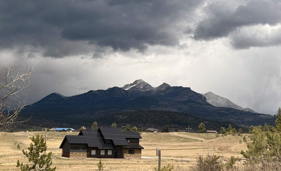
Dark clouds over Pagosa Peak – pic taken 5/1/2025
Saturday – 3 May 2025 – 9:00pm
*** Sorry for the delayed post. We’ve been having technical difficulties. ***
The past…
At Stevens Field the high temperature on Thursday was 54, and on Friday it was 64. The low this morning was 30. The cold spots were in the mid-20s.
The peak wind at Stevens Field on Thursday was 30mph and on Friday it was 21mph.
| Average High | Record High / Year | Average Low | Record Low / Year |
| 62 | 81 / 1981 | 26 | 13 / 1909 |
Precipitation summary… There was no measurable precip reported this morning. Thursday afternoon a few showers moved through the northern half of the county and a few folks reported 0.01” to 0.04”.
Forecast discussion…
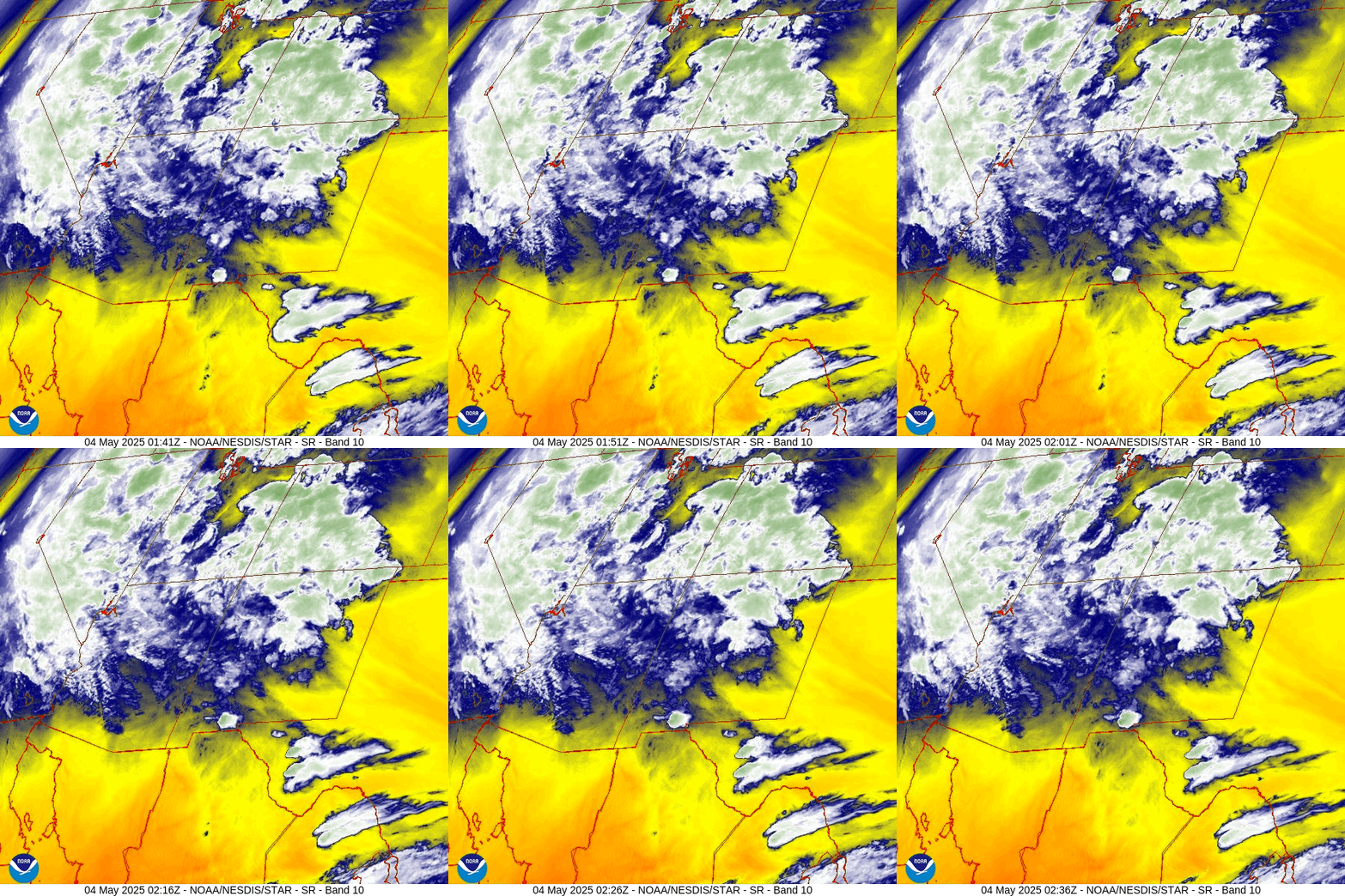

Forecast highlights…
*** A decent soaking with scattered showers and thunderstorms Sunday afternoon through Monday afternoon and then again Tuesday afternoon. ***
*** Travel conditions could be poor on Wolf Creek Pass Sunday evening into Monday evening and again during Tuesday afternoon. ***
*** Spotty afternoon showers and isolated thunderstorms could persist through next week. ***
Sunday, Monday, and Tuesday… A low-pressure system will slowly move through AZ Sunday and Monday and then slowly move east through NM on Tuesday. Storm energy and moisture are lining up for a decent soaking.
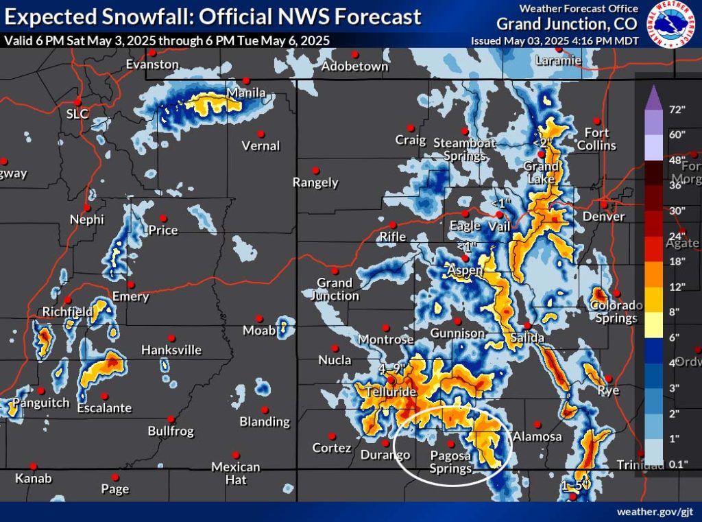
Timing… Showers and scattered thunderstorms will ramp up Sunday afternoon and then come in waves through Sunday night and into late Monday afternoon. Monday night there will be a lull with a few hit and miss showers and thunderstorms, and then Tuesday afternoon will be active again. Lucky spots could get up to 1” of rain.
*** Snow levels will mostly bounce around between 9,000ft and 10,500ft. Our mountains above 10,000ft will end up with 6-10” of snow. Tuesday morning snow levels could dip to 7,800ft. Folks above that elevation might see a few snowflakes but I don’t expect any snow to accumulate. ***
Temps… Sunday highs will be in the mid-50s to low 60s and lows will be in the low to high 30s. Monday highs will be in the mid-40s to low 50s and lows will be in the high 20s to mid-30s. Tuesday highs will be near 50 to the high 50s and lows will be in the mid-20s to mid-30s.
Winds… Afternoon gusts will mostly be around 20mph, but thunderstorms and strong showers will produce stronger gusts for brief periods.

Wednesday through the rest of next week… A weak ridge will slowly move over the region. There will be less moisture, and we’ll remain marginally unstable, so afternoon shower and thunderstorm activity will decrease but will not go away.
Temps will be 5-10 degrees below average Wednesday and then warm back up to average by Friday.
We’re going to get a break from the winds! Each afternoon gusts will be around 15mph.
The 8-14 day period… The weather pattern will get less active with just a slight chance for spotty afternoon showers and thunderstorms starting around 13/14 May.

The next post will be on Monday.
– Shawn


